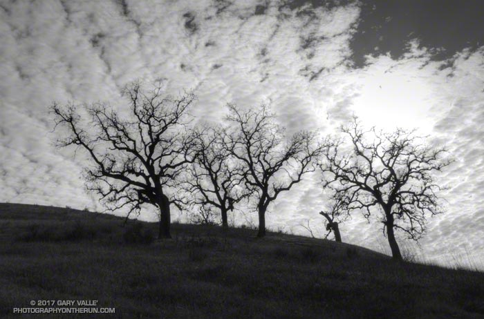
From Sunday’s run to Temescal Peak and through Garapito Canyon.

From Sunday’s run to Temescal Peak and through Garapito Canyon.
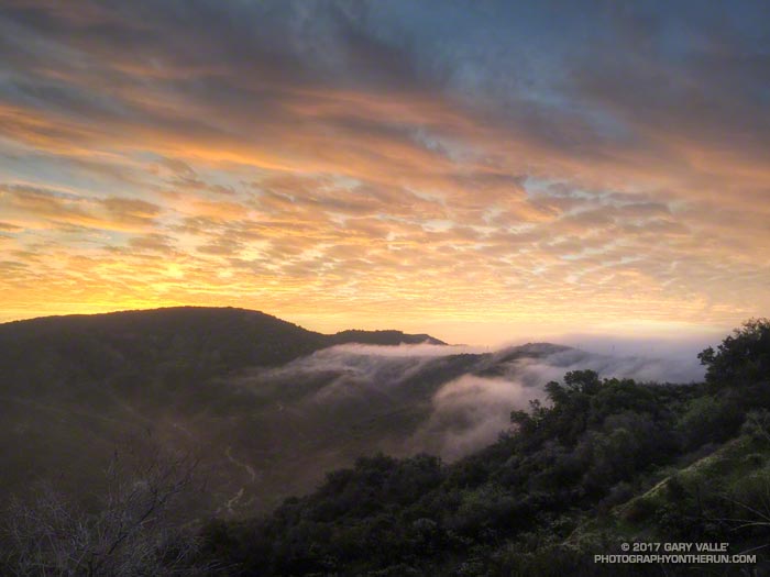
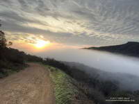
At the start of my run from the Top of Reseda (Marvin Braude Mulholland Gateway Park) the visibility above the fog-filled San Fernando Valley was at least a hazy 25 miles.
Ahead of another rainstorm, offshore pressure gradients had weakened and the onshore flow was rapidly increasing, pushing marine layer clouds into the coastal canyons of the Santa Monica Mountains and spilling over the low points of the crest.
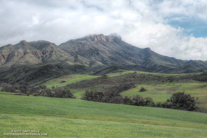
My first stop was going to be Temescal Peak. This little peak is about 3.5 miles from the trailhead, near the junction of Temescal Ridge fire road and the Backbone Trail. It’s a nice way to start a run, and on a clear day it can have surprisingly extensive views.
Fog flowed over Fire Road #30 between Rustic Canyon and Garapito Canyon, but once through this ethereal river, it was clear all the way up to the Hub. I wondered if I was going to be able to see Mt. San Jacinto from the top of Temescal.
The answer to that question turned out to be no. In fact I could barely see my nose from Temescal Peak. In the 12 minutes it had taken me to get to the peak from the Hub the entire area, including the summit of Temescal Peak (about 2100′), had become enveloped in fog.
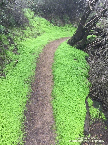
The misty rain had momentarily turned to sunshine. As I ran along the trail, rain-soaked sage glittered in a rainbow of colors. The peaks above me were still shrouded in gray clouds, but the sunlit valley below glowed bright and green. Streams that had been dry on New Years, now burbled and bubbled restlessly. My shoes and socks were soaked, not from stream crossings, but from the cold, wet grass overgrowing the trail.
Dense patches of shooting stars covered wet hillsides and milkmaids lined shady sections of trail. Paintbrush, Indian warrior, California poppies, larkspur, chocolate lilies, bladderpod, encelia, lupine, nightshade, wild hyacinth, phacelia, bigpod ceanothus and wishbone bush had also started to bloom.
The day not only encouraged the accumulation of miles, but of the sensations and emotions of the outdoor experience; and that feeling of well-being that emerges somewhere between the trailhead and the top of the last climb.
Here are a few photos taken along the way.
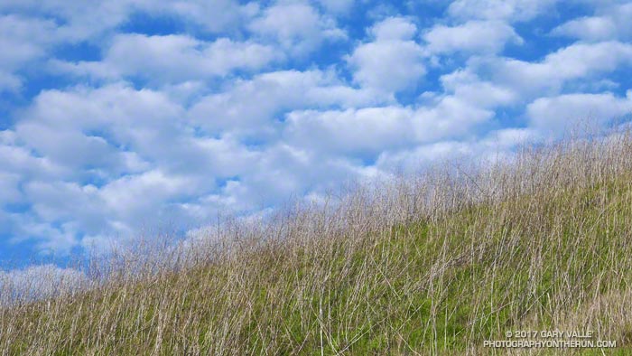
From yesterday’s run on the Cheeseboro Ridge Trail. The old mustard stalks are probably from Spring 2012, when there was prolific growth of mustard in Upper Las Virgenes Canyon Open Space Preserve.
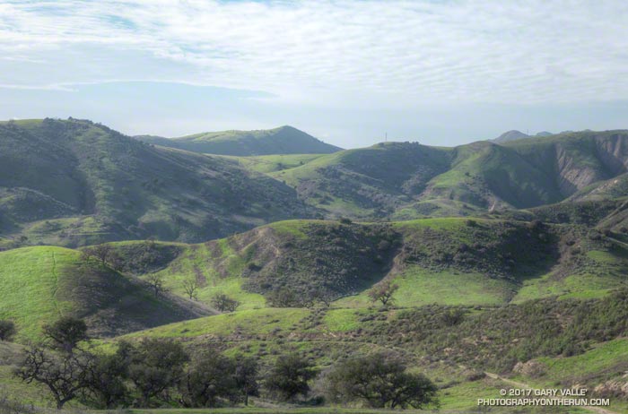
From Saturday afternoon’s rain-free run to check out upper Las Virgenes Creek. The nearby Cheeseboro Remote Automated Weather Station (RAWS) had recorded about 2.0 inches of rain the previous three days and would record another 2.4 inches on the following two. The weather station is on top of the prominent hill in the distance. January was the wettest at Downtown Los Angeles (USC) since January 2005.