I was beginning to wonder if I would get a chance to do the Three Points Loop around Mt. Waterman this year. Angeles Crest Highway had been closed from Red Box to Vincent Gap for many months, and CalTrans projected it might not open until Thanksgiving.
That’s why Friday (November 3) I was excited to hear Angeles Crest Highway had reopened between Upper Big Tujunga Rd. and Islip Saddle.
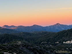
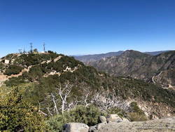
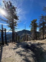
At dawn, a couple days later, I pulled into the Three Points parking lot, put on some sunscreen, grabbed my pack, and set out to see what was happening on the Three Points loop around Mt. Waterman.
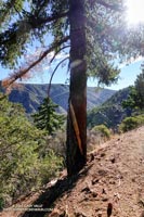
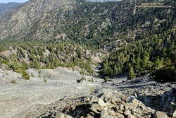
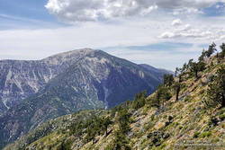
I’d done the loop many times and in many situations — clockwise, counterclockwise, after the Station Fire closure, after the Bobcat Fire closure, with snow at the higher elevations, in hot weather and in cold. When the trails are in good shape and the weather isn’t too hot, the 20-mile loop is an outstanding trail run. Today, it was a challenge just to complete the loop.
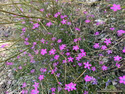
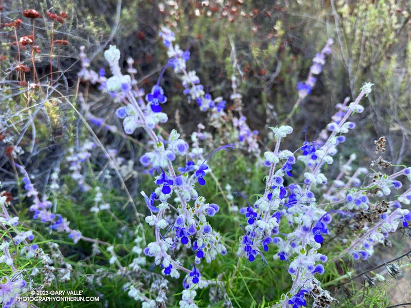
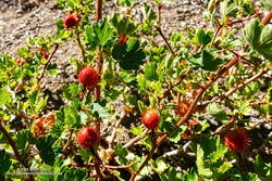
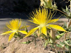
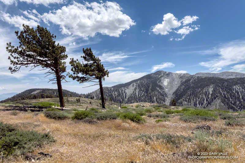
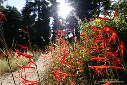
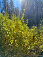
In many areas of Southern California, a wet 2022-2023 rainy season and Tropical Storm Hilary’s rain produced two seasons of Spring-like growth. One of the effects of the rain was the growth of wildflowers usually seen in the Spring, including seep monkeyflower, golden yarrow, gilia, grape soda lupine, and little paintbrush. It was strange to see a bumblebee buzzing from flower to flower of a Grinnell’s penstemon at 7250′ on Mt. Waterman in November.
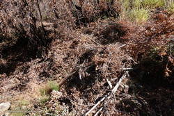
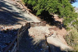
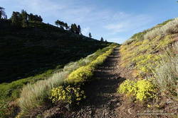
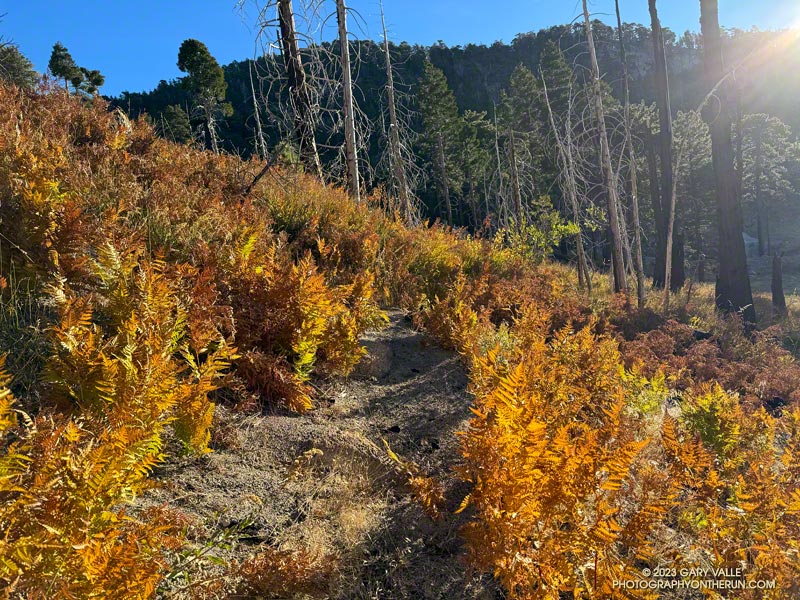
At lower elevation, sections of Three Points – Mt. Waterman Trail (10W04) were overgrown with mountain whitethorn — requiring several “grin and bear it” passages. Higher, long stretches of the little-used path were covered with a second season of grass. This made route-finding difficult, particularly where the trail descends to the Twin Peaks Trail junction.
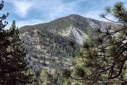
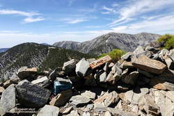
It was an intriguing puzzle to solve, and eventually I made it to the junction of the summit trail and the trail down to Angeles Crest Highway, near Buckhorn (10W05). The trail down to Buckhorn sees much more use than the trail from Three Points and is much better defined. Besides a couple of downed trees, the run down was one of the more enjoyable parts of the loop. The trail is usually very busy, but I didn’t encounter anyone coming up the trail.
As expected, Buckhorn Campground was closed and no water was available. It was a warm day — around 75 degrees — but with the November sun low in the sky, not as warm as 75 degrees in July. If I needed more water, there were several places I could refill.
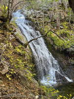
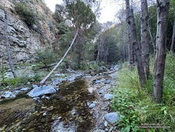
The Burkhart Trail (below Buckhorn) was the only place I encountered a few hikers. They were returning from Cooper Canyon Falls. When I got down to the PCT and saw how much water was in the creek, I did the short side trip to the falls and took this video snapshot. It’s unusual for the falls to be flowing this time of year.
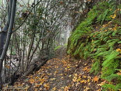
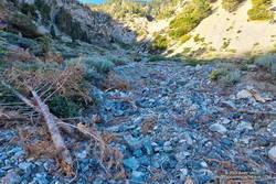
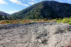
After checking out the falls, I resumed my westward journey on the PCT. Within feet of the creek crossing, an ugly tangle of fallen trees completely blocked the trail. This was just the first of several problems on the PCT between the Burkhart Trail junction and Cooper Canyon Camp. There were the usual downed trees, but there were also several sections of badly overgrown trail. These green thickets were generally adjacent to the creek, where the trail had been (or still was) wet.
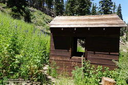
Needing water, and to empty the debris from my shoes, I stopped for a few minutes at Cooper Canyon Trail Camp. Several campsites are nestled in a pleasant area along the creek. With Angeles Crest Highway open, I thought I might see someone here, but like Buckhorn Campground, it was empty.
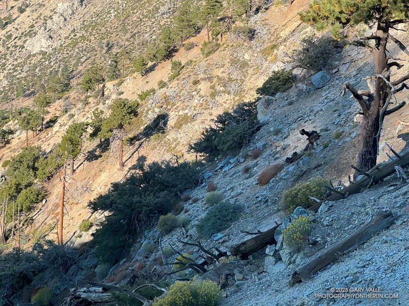
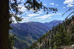
After reaching Cloudburst Summit, the remainder of the run was more or less usual for the loop. There was some Poodle-dog bush and a small rockslide along the PCT on the way to Camp Glenwood, but neither were an issue. The run was more challenging than usual — and a bit slower — but it had been (mostly) fun and fascinating to work through it.
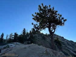
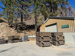
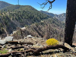
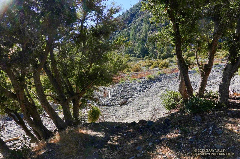
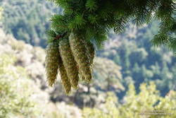
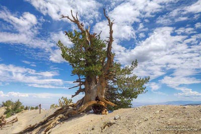
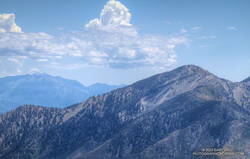
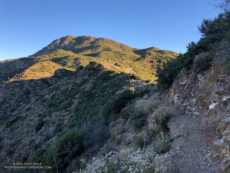
Here are a few photos taken along the way.
Some related posts:
– After the Bobcat and Station Fires: Three Points Loop Around Mt. Waterman (Slideshow, 3D Terrain Maps)
– Cool Weather, Old Trees, Grape Soda Lupine and a Restored Trail
– Lemon Lilies, Tree Rings and More Heat Training on the Three Points Loop
– Three Points Loop Adventure – July 2020