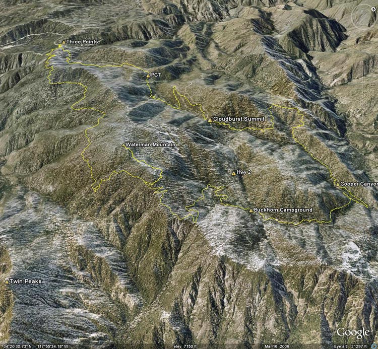
Google Earth image of a GPS trace of the Three Points loop with a side trip to the summit of Mt.
 alt="Google Earth image of a GPS trace of the Three Points loop with a side trip to the summit of Mt. Waterman." border="0">
Google Earth image of a GPS trace of the Three Points loop with a side trip to the summit of Mt. Waterman.
Click on any of the following categories to see additional photography:
ABSTRACT - QUIRKY - LANDSCAPE - WILDLIFE - INSECTS - WILDFLOWERS - ADVENTURES
PHOTOGRAPHY
ON THE RUN
Copyright © 1995-2024 Gary Valle'. All Rights Reserved.
![]()