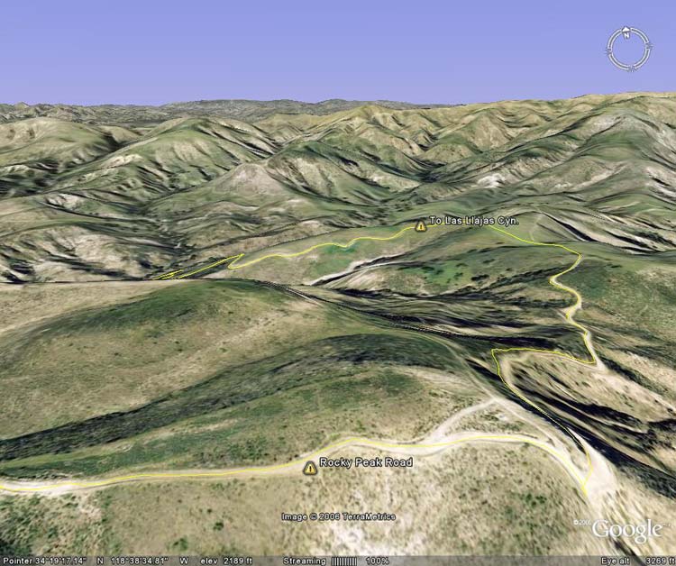
Google Earth image of a part of the Chumash-Las Llajas loop from near the Rocky Peak Road high
 alt="Google Earth image of a part of the Chumash-Las Llajas loop from near the Rocky Peak Road high point." border="0">
Google Earth image of a part of the Chumash-Las Llajas loop from near the Rocky Peak Road high point.
Click this link to read more about this photograph.
Click on any of the following categories to see additional photography:
ABSTRACT - QUIRKY - LANDSCAPE - WILDLIFE - INSECTS - WILDFLOWERS - ADVENTURES
PHOTOGRAPHY
ON THE RUN
Copyright © 1995-2024 Gary Valle'. All Rights Reserved.
![]()