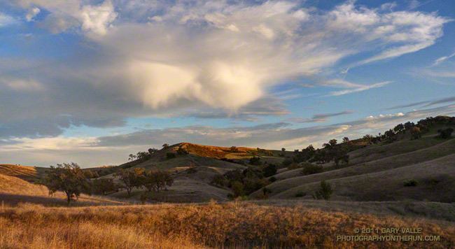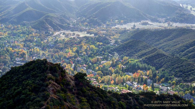
The Burger Run is one of those runs that is much more difficult than its 14.5 miles and 2000′ of elevation gain would suggest. For one thing the Whiskey Flat Trail ain’t no namby-pamby city trail. It’s a rustic single track trail in the Southern Sierra that runs along the Kern River from the outskirts of Kernville up to Johnny McNally’s Fairview Lodge and Restaurant — and burger stand.
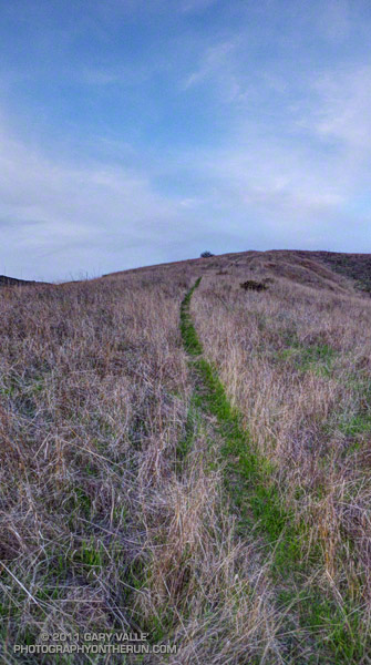
The trail is single track all of the way, with so many ups and downs you’ll think you’re riding a Magic Mountain roller coaster. It seems around every corner there is another creek or a ravine. The running is varied and technical, ranging from sweet pine-needle-lined stretches of trail to gnarly, V-rutted, overgrown, rocky, sandy, steep sections that test your trail running skill.
For a time it looked like a big low moving down the coast might cause some weather problems, but overnight rain turned to partly cloudy skies race day morning, with near perfect weather for the runners and walkers.
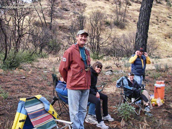
Many thanks to race director Mike Lane, all the volunteers, McNally’s, Indian Wells Brewing Company, and all of the friendly hikers and runners. Proceeds from the race benefit Run 4 A Way, a local non-profit group dedicated to enhancing the fitness and well being of the local youth. Results and finish line photos are posted on Run 4 A Way’s Facebook page.
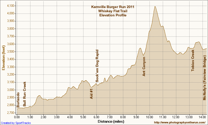
Here’s an interactive Cesium browser View of the Burger Run course and an elevation profile generated in SportTracks. Following are a few additional photos. Click for a larger image:
Aid Station #1
|
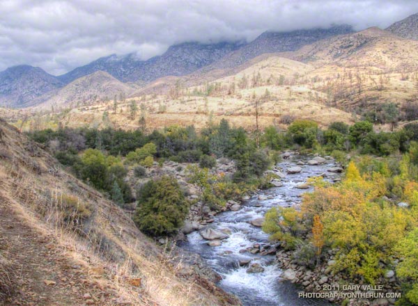
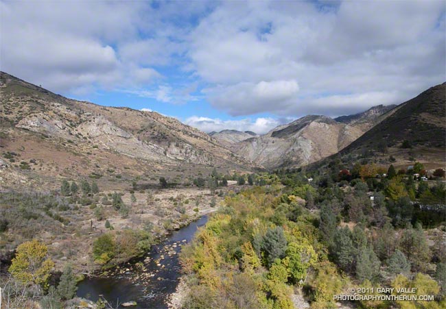
Sock’em Dog Rapid
|
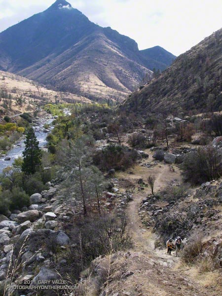
Steep Climb
|
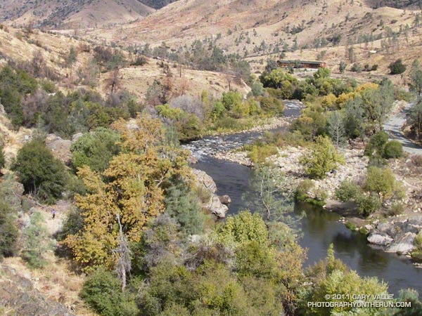
Runner, River & Road
|
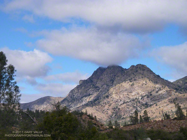
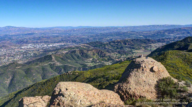
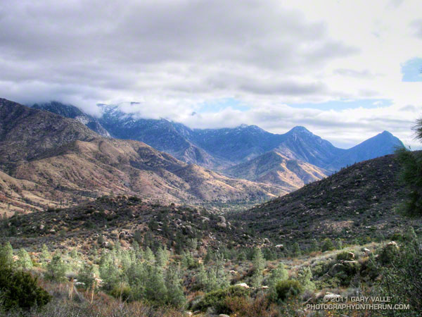
Kern Peaks
|
Ten Miles In
|