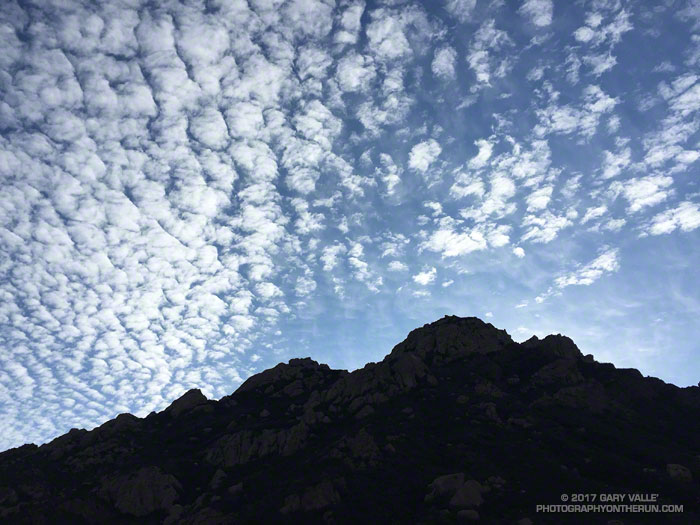
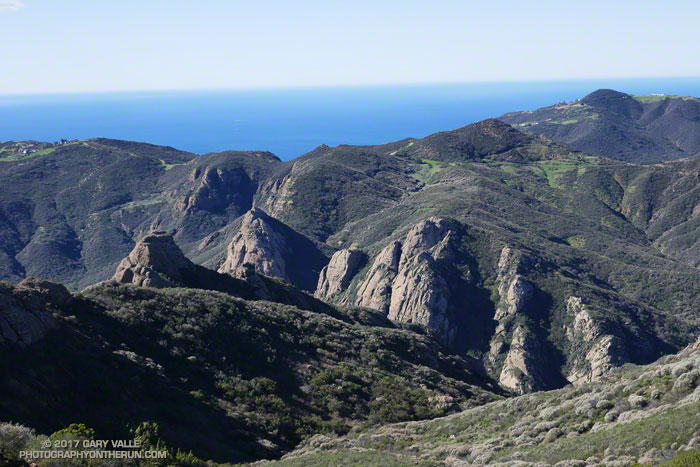
The Boney Mountain skyline from the Old Boney Trail in Pt. Mugu State Park.
From this morning’s run to the Danielson Multi-Use Area in Sycamore Canyon to do trailwork with the Santa Monica Mountains Trails Council and a group of Coyote Backbone Trail Ultra runners.
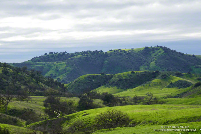
This is a view of East Las Virgenes Canyon from the power line service road that connects the Las Virgenes Canyon Trailhead to Cheeseboro Ridge. East Las Virgenes Canyon is part of the Upper Las Virgenes Canyon Open Space Preserve (formerly Ahmanson Ranch).
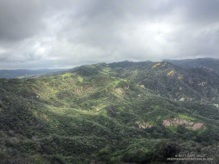
From this afternoon’s keyhole loop run from the Victory Trailhead to Cheeseboro Ridge.
View of upper Santa Ynez Canyon and the Eagle Rock area of Topanga State Park from East Topanga Fire Road. From today’s run from the Top of Reseda to the Los Liones Trailhead and back.
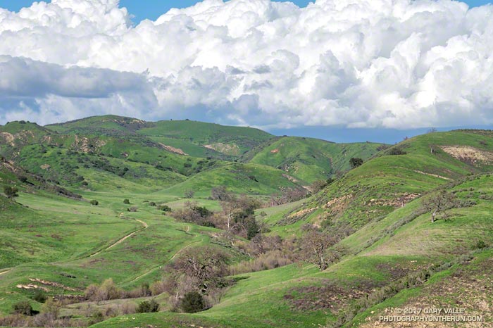
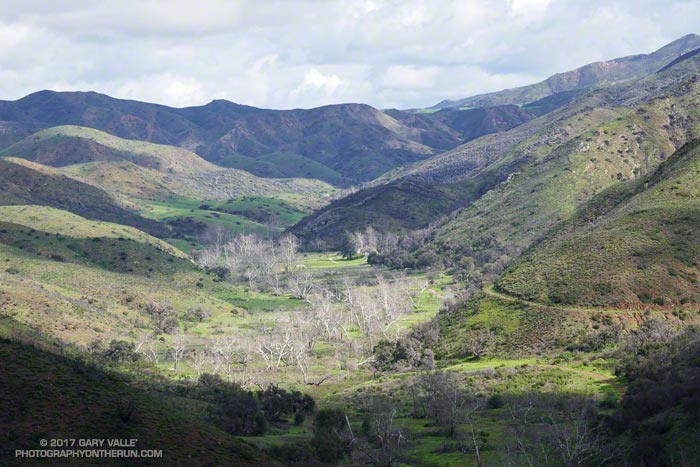
Green is what you get when so much rain falls on a valley oak savanna. This is a view west, down East Las Virgenes Creek, toward Las Virgenes Canyon. The ridge in the distance is between Las Virgenes and Cheeseboro Canyons.
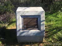
Marker recognizing the significant contributions from Governor Arnold Schwarzenegger and Betty Weider in the creation of the Backbone Trail.
Earlier, from the Etz Meloy fire road, Anacapa and Santa Cruz Islands had seemed to be magnified by the ocean haze — the lighter-colored rocks of San Pedro Point clearly visible on the east end of Santa Cruz. To the south, Santa Barbara Island, the smallest of the Channel Islands, had been visible near the horizon.
I was doing an out and back run on the Backbone Trail from the Kanan Road trailhead, and wondering if I had enough water to go to Mishe Mokwa and then the 15 miles back to Kanan. The irony was that, following several years of drought, this Winter it had rained and rained. Water was everywhere, but I had not thought to bring a UV pen or filter.
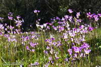
Shooting stars near the Mishe Mokwa Trailhead.
Reaching the point where the trail turns to the north and has a great view of Sandstone Peak, Circle X and the Mishe Mokwa trailhead I again debated turning around. Across the canyon, sunlight gleamed from the cars parked at the Mishe Mokwa Trailhead. The rocky knolls below the trailhead were green with rain and though I couldn’t see them from here, would be covered with a spectacular patchwork of purple and yellow shooting stars.
Hmm… I’d run a little over 13 miles, so Mishe Mokwa was less than two trail miles away. Going there would add about 3.5 miles to my run. I lifted my pack to see how much water I had left, and then continued down the trail.