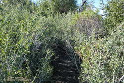
Update March 28, 2021. The use trail between Josephine Saddle and the rock climbing segment of the northwest ridge is in somewhat better condition this Spring.
Where did the trail go? Rejuvenated by substantial Winter rains, the whitethorn on Strawberry Peak was not only impinging on the trail, but also my arms. I took my running sleeves out of a pocket of my pack and pulled them on. That helped, and I was able to push through some thorny limbs to the next clear section of the path.

When following an overgrown trail I’ve learned to trust the “sense” of the trail. Even if it doesn’t look like there is a route forward, if you just take a few steps a seemingly impassible trail often becomes passable. I sometimes look at the trail behind me to confirm I’ve really been following a trail, and am continuing its path. If it doesn’t open up, I backtrack to see where I went wrong.
Winding through the thick brush along Strawberry Peak’s northwest ridge, I was happy to see that all of the Poodle-dog bush along the route had finally withered and died. Poodle-dog bush is fire-follower that causes dermatitis in many people. It became very widespread in the San Gabriel Mountains following the 2009 Station Fire. Reported reactions varied from a very mild rash to a severe rash with blistering. The troublesome plant must serve some role in the fire recovery process, but I’m glad its cycle is near its end.
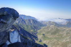
It seemed like it was going to be a quiet day on Strawberry. The loop I was doing began at the Colby Canyon trailhead and I’d been the first to park there. The few tracks on the trail were old and the only people I’d seen were a group of mountain bikers at Josephine Saddle. The view from the mountain was spectacular. A sea of low clouds lapped at the mountain slopes and washed into the canyons, bringing with it a feeling of wanderlust and vitality.

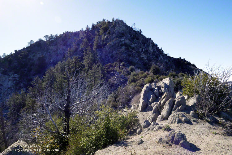
Finally reaching the steeper part of Strawberry’s fragmented northwest ridge I climbed up the initial sandy ledges to an area of somewhat better rock, taking care not to slip on the ball-bearing grains of decomposing granite. Generally, the rock improves somewhat with height. Higher on the ridge, I enjoyed doing a couple of optional boulder moves that were a little more technical. (I’d done these before and knew they were not a dead-end.)
Reaching the top of the ridge, I could hear conversation and laughter above me. From the summit ridge I could see there were people on and near the summit. I threaded my way to the summit, greeting the hikers along the way. On the summit, a small dog said hi, and I treated my new friend to an obligatory neck scratch.
In nearly five decades of doing the peak, I’d never seen so many people on the peak. I had forgotten that Angeles Crest Highway was closed at Red Box due to a rock slide. With snow in the high country and the great Spring weather, Strawberry Peak was a very popular place.
Running down to Red Box I’d encountered many more hikers, some smiling, some not, but most were enjoying being on the trail. That’s the thing about the outdoors, it just feels good to be out there.
Related post: Strawberry Peak, Switzer’s and the Old Colby Trail
