
Earlier, as I was running up Las Llajas Canyon, I thought of a conversation I had with a runner during a 50K. The runner was from southern Florida, and talked about the difficulty of finding a good hill to run. It sounded like the main options are overpasses, bridges, buildings and stadiums.
In Southern California we have the opposite problem. It’s hard to find a trail run that doesn’t have hills. And the longer the run, the more likely it is you’re going to be running some hills.
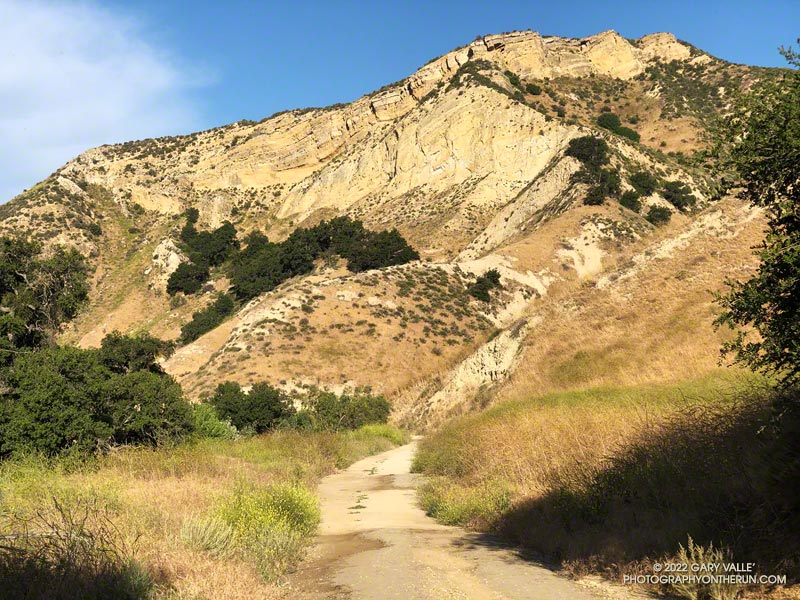
The out and back in Las Llajas Canyon is one of the flatter runs that I do. From Evening Sky Drive it’s about 3.5 miles up to where the trail forks. There is a sign at the split indicating that the left fork leads to a private ranch, and the right fork connects to Rocky Peak Road.
On rested legs, the run up Las Llajas from Evening Sky Drive seems pretty flat. Over the 3+ miles up the canyon, the elevation gain is around 565′. That’s not a huge amount, but it’s roughly the equivalent of climbing 56 floors or 900 stairs. After leaving the Marrland aid station at 20 miles, runners doing the Rocky Peak 50K discover that the run up the canyon isn’t as flat as it looks!
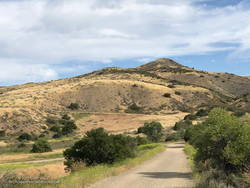
If you want more distance or elevation, there are a couple of ways to extend the Las Llajas out and back. One is to take the right fork at the sign and continue up to the top of the hill just before Rocky Peak Road. This adds about 2 miles and 600 feet of elevation gain.
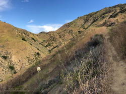
Another interesting way to extend the run, is to do the variation I was doing this morning. About halfway down the canyon on the way back, on the right, is a use trail. The use trail is about 1.6 miles from the turnaround point at the fork at the ranch sign. It is just past the area where steep cliffs tower above the road on the right, and is very easy to miss.
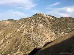
After turning right onto the use trail, about a half-mile up the trail splits. One trail switchbacks to the right and continues up to the top of cliffs and an old seashell grit mine; the other trail continues up the canyon to a pass between Las Llajas and Chivo Canyons.
The trail over the pass leads to a well-used trail that connects Chivo Canyon to Las Llajas Canyon near Evening Sky Drive. Some refer to this trail as the “Marr Ranch Trail.” This variation adds about 1.3 miles and 500′ of elevation gain.
Here’s an interactive, 3D terrain view of a GPS track of today’s route, as well as the variation that continues to Rocky Peak Road. The map can be zoomed, tilted, rotated, and panned. To change the view, use the control on the upper right side of the screen. Track and placename locations are approximate and subject to errors. Poor weather, and other conditions may make this route unsuitable for this activity.
After I got back from the run, I was curious to see what hilly trails there are in Florida. A quick search turned up the Hilly Trails In Florida page of the Florida Hikes web site. Anybody up for doing Mount Cockroach?
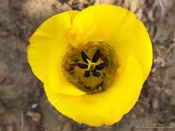
Some related posts: Exploring Las Llajas, Top of Las Llajas, Marr Ranch Wildflowers