The forecast for the Los Angeles area (Saturday, December 10) was for a chance of rain in the afternoon, with rain developing overnight and continuing into Sunday morning. There was also a slight chance of light rain or drizzle in the Santa Monica Mountains in the morning.
It was overcast in the West Valley as I drove to the trailhead, and I wondered if my run would be dank and drizzly. But as I drove up Reseda Blvd. toward Marvin Braude Mulholland Gateway Park, I was surprised to find patches of blue sky overhead.

I started the run a little before 7:00 a.m. and headed up the connecting single-track trail to dirt Mulholland and Fire Road 30. Many runs from the Top of Reseda start this way, and I turned onto Fire Road 30 and continued up to the Hub — about 2.5 miles from the trailhead.
For the first couple of miles, I wasn’t sure how long a run I would do or where I was headed. But as I neared the Hub, I had to make a decision. To a large extent, a decision that depended on the weather.
What had been partly cloudy skies had coalesced into a layer of clouds that just touched the top of the highest peaks. I’d been thinking about doing an out-and-back to High Point (Goat Peak), but if the weather continued to deteriorate, the only view I would see from the peak would be the interior of a cloud. I finally decided to give it a go and hope the peak didn’t get socked in with clouds and fog.

Turning left at the Hub onto the Temescal Ridge Fire Road segment of the Backbone Trail, I ran about a half-mile to where the Backbone Trail forks left off the fire road and becomes a single-track trail. This is the popular Rogers Road segment of the Backbone Trail that eventually ends at Will Rogers Historic State Park.
From Temescal Ridge Fire Road, it’s about 4.25 miles on the Backbone Trail to the unsigned junction with the High Point use trail. It’s on the right and easy to miss. The turnoff is about a half-mile before “The Oak Tree” landmark on the Backbone Trail.
The High Point trail is an unofficial, unmaintained path but is usually in decent shape. There are a couple of short, steep, loose sections on the way to the peak. Nothing is signed, and some side paths diverge from the main trail.

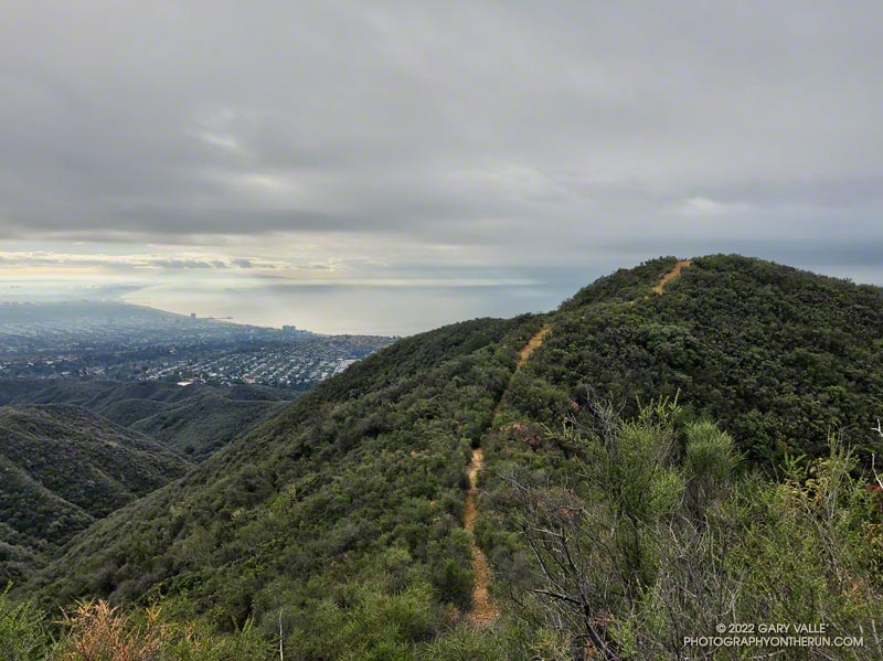
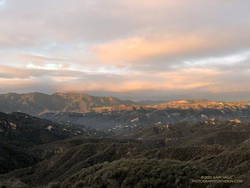
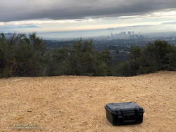
When I reached High Point’s summit, the weather was holding but looked more threatening. Even so, the view was excellent. Panning from east to west underneath the ceiling of clouds, the view included the San Gabriels, Downtown, West L.A., the South Bay, Santa Monica, Palos Verdes Peninsula, Santa Monica Bay, and Catalina.
There were a couple of rogue sprinkles on the way back to the Top of Reseda, but the rain held off in the West Valley until late in the day.
Here is an interactive, 3D terrain view of the High Point (Goat Peak) Out and Back from the Top of Reseda. The map can be zoomed, tilted, rotated, and panned using the navigation control on the right. Track and placename locations are approximate and subject to errors. Poor weather and other conditions may make this route unsuitable for this activity.
Some related posts: High Point (Goat Peak) Via the Rivas Ridge Use Trail, Goat Peak and the High Point Trail
