Clouds moving onshore ahead of a low pressure system that is expected to produce rain in Southern California Christmas Eve into Christmas Day. Track of the low is now projected to be a little more to the west, so the heaviest rain may occur just offshore.
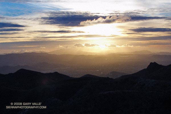
From an out and back run yesterday to “fossil point” via the Chumash Trail and Rocky Peak fire road. View is of Simi Valley, with Boney Mountain and Conejo Mountain in the distance.
Our latest storm added another half-inch of rain to our water year total in Los Angeles. This brings the water year rainfall total to 2.85 inches. This is 1.35 inches above normal for the date. As much as a foot of snow was reported in the Antelope Valley and the snow level dropped to nearly 2000 ft in the foothills and mountains of Ventura and Los Angeles counties.
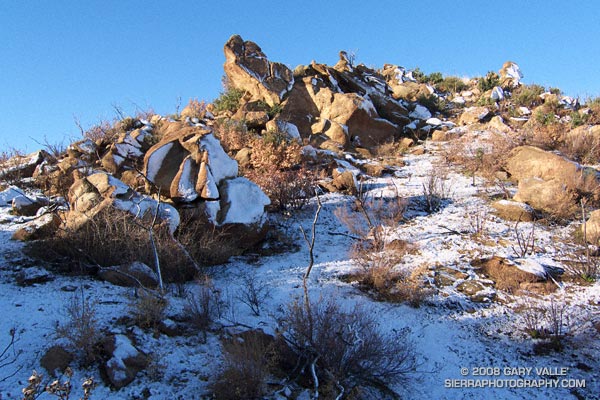
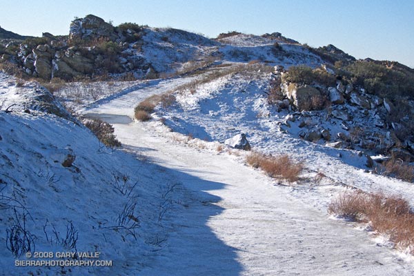
Snow on Rocky Peak fire road. December 2008
What’s next? Things should stay dry in Southern California until around Monday when a fast-moving front sweeps through the state. Later in the week, sometime around Christmas, the models are suggesting the possibility of a major system impacting California. We’ll see!
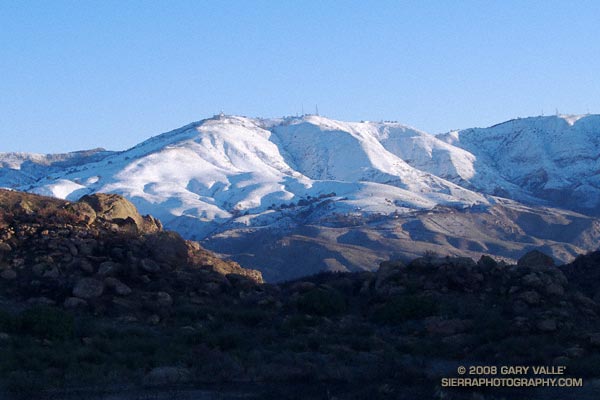
The photograph of Oat Mountain was taken this morning on an out and back run on Rocky Peak fire road. The highest stretches of the fire road were covered with an icy layer of snow.
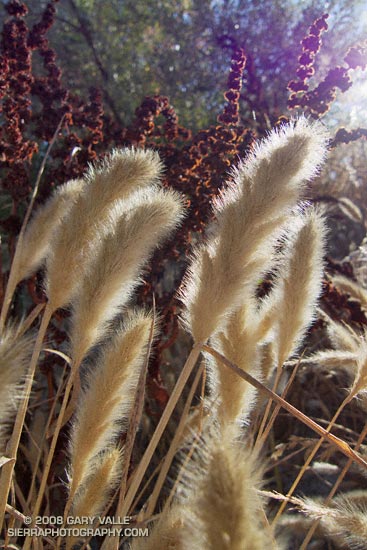
Rabbitfoot grass (Polypogon monspeliensis) along a vernal stream course in East Las Virgenes Canyon in Upper Las Virgenes Canyon Open Space Preserve (formerly Ahamanson Ranch).
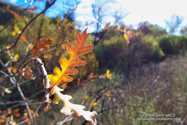
This grass is not native to California. From a run in October.