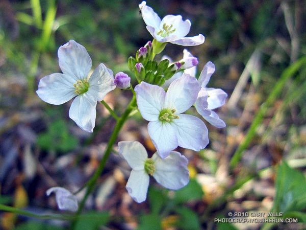
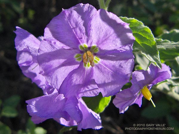
Got caught in some showers this afternoon on Rocky Peak, returning from a rambling trail run from the San Fernando Valley over into Simi Valley.
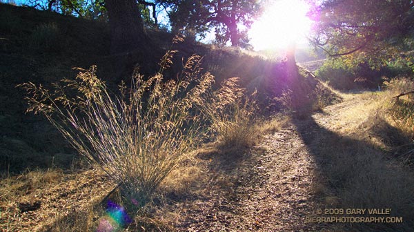
This was one of those “not sure where I’m going” runs that unfolded as it progressed. It started near Chatsworth Reservoir at Chatsworth Oaks Park, worked over to Santa Susana State Historic Park, then up the Old Stagecoach Road. At the top of the old Stagecoach Road, I picked up the Upper Stagecoach Trail and followed that to Santa Susana Pass and the 118 Frwy. From there it was a short distance down the west side of Santa Susana Pass Rd. to the Lower Stagecoach Trail, which took me to Corriganville.
Once down in Simi Valley there are four trails that ascend to Rocky Peak road, and my return route. From the shortest to the longest, they are the Wildlife Corridor trail, Hummingbird Trail, Chumash Trail and the Marrland/Las Llajas trail. Not sure how long it would take to get back to the SFV, I finally decided on the Chumash Trail.
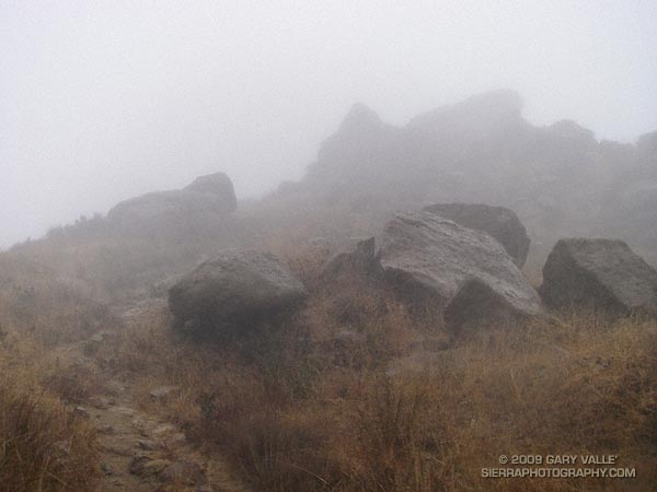
Running up the Chumash Trail, the wind picked up, the clouds began to lower and thicken, and the temperature dropped. Minutes after turning right onto Rocky Peak road the showers began, and it wasn’t long before the sleeves came out of the pack.
The return trip, with a net elevation loss, went a little quicker than expected. Next time I’ll have to give the Las Llajas option a try. That would extend the run from about 17 miles, to something over 20. The approximate elevation gain/loss on the 17 mile version was a little under 3000 ft.
Related post: Old Santa Susana Stage Road

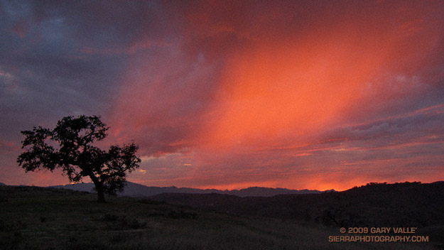
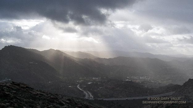
 This evening’s run was also superb. Over the course of the run, the skies had become increasingly gray and troubled, as a weak cold front approached the area. Climbing a long hill, the light was dank, and I had given up on the sun. But as I neared the crest of the hill, orange-red sunlight began to illuminate the clouds from below, highlighting a sunset shower. Large, cold rain drops began to patter around me, and I watched mesmerized, as the light, clouds, and rain played on the sky.