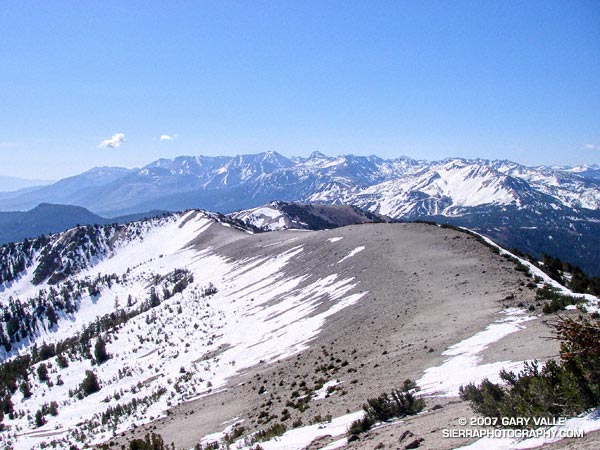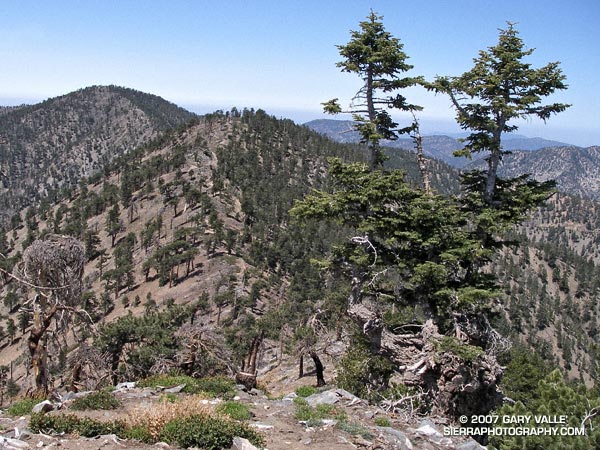
Ridge between Mt. Baden-Powell and Mt. Burnham
Standing on the summit of Mt. Baden-Powell (9399′), I squinted through the haze at Mt. Baldy (10,064′). Nope, no snow.
It’s not often that the highest elevations of the San Gabriel Mountains are snowless on Memorial Day weekend. If nowhere else, there will usually be a patch of white on the north side of Mt. Baldy. Two years ago there were 10-15 ft. drifts on Baden-Powell that persisted into July. Not this year.
This year, usually dependable water sources might not make it through the Summer. On the way to Baden-Powell I stopped at Little Jimmy Springs. Descending to the spring, I didn’t hear the usual splitter-splatter of water streaming onto the rocks. For a worried moment I wondered if the spring could already dry.
It wasn’t dry, but the spring was nearly as low as it was in August 2002, following the driest water year ever recorded in Los Angeles. Whether Little Jimmy Spring will last through this Summer, after what is likely to be an even drier year, we’ll just have to see. To date, Los Angeles has received only 3.21 inches of rain since July 1, 2006, and will very likely break the record set in 2001-2002.
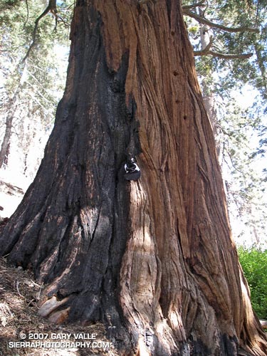
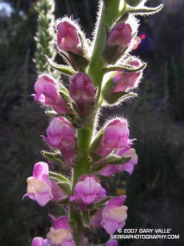
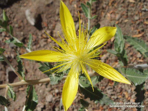
When on the trail between Islip Saddle and Mt. Baden-Powell, I almost always visit Little Jimmy Spring. The area surrounding the spring is lush and green, and in midsummer is accentuated with the yellows and reds of wildflowers. There are several impressive Incense Cedars nearby, and one huge tree must have enjoyed the idyllic setting and refreshing waters for at least a few centuries. The tree was threatened by the 2002 Curve Fire, but fortunately only a part of its fire-resistant trunk was burned.
At the spring, I filled my Camelbak to the brim. On the way back from Mt. Baden-Powell, I was planning to climb Mt. Burnham, Throop Peak, Mt. Hawkins and Mt. Islip. Most of these peaks are relatively easy ascents requiring short detours from the main trail. Mt. Islip requires a little more effort, and is about a mile by trail from Windy Gap.
According to my Forerunner 205, the distance from Islip Saddle to Mt. Baden-Powell is about 8.1 miles. Depending on how Islip is done, the total mileage including the five peaks is in the neighborhood of 17-18 miles, with an elevation gain and loss of about 4700′.
Note: Angeles Crest Highway (SR2) was open to Islip Saddle.
Related post: PCT Above Windy Gap.