Category Archives: photography

Shooting Stars

Shooting stars (Dodecatheon clevelandii) at Sage Ranch Park, in the Simi Hills, northwest of Los Angeles.

Shooting stars are among the first wildflowers to bloom following soaking Winter rains. These appear to be Dodecatheon clevelandii ssp. patulum.

The flowers produce a semitransparent, otherworldly seed capsule that traps moisture. This is an adaptation to an environment that may be cool and damp one day, and then hot and dry just a few days later.

From a run at Sage Ranch Park.

Tapia Bound

A trail runner cruises down Calabasas Peak Motorway on the way to the Stunt High Trail, Backbone Trail, Saddle Peak, and Tapia Park

A friend cruises down Calabasas Peak Motorway on the way to the Stunt High Trail, Backbone Trail, Saddle Peak, and Tapia Park – a run of about 14 miles with an elevation gain of about 2600 ft., and loss of about 3600 ft.

Several excellent trail runs in the 11-15 mile range (or longer) can be done from the intersection of Malibu Canyon and Piuma Rd., near Tapia Park. These include an out and back to Saddle Peak (~13 mi), the Bulldog Loop (~14.5 mi), and point to point runs starting at the Secret Trail (~11 mi), or Tunnel #1 on Kanan Rd. (~12.5 mi).

Related posts: Saddle Peak, Rock Formations Along the Backbone Trail

A La Nina During an El Nino?

Grass along the margins of the main drag in Upper Las Virgenes Canyon Open Space Preserve,formerly Ahmanson Ranch.

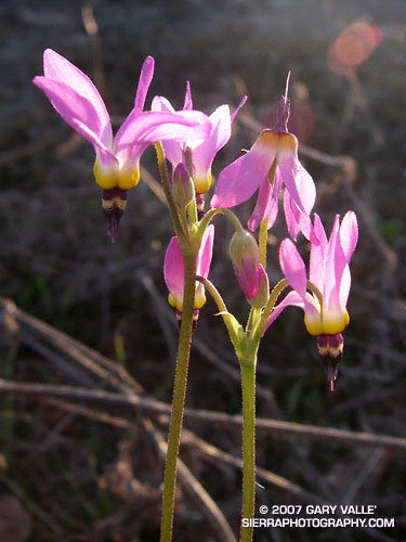
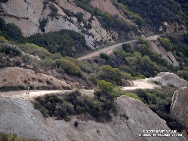
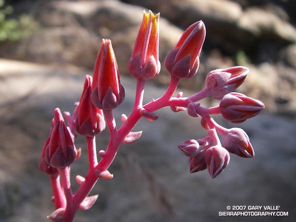
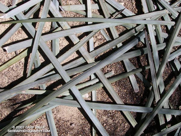
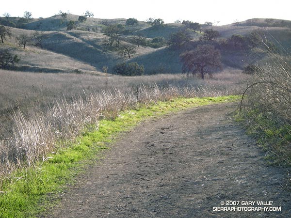
Sporadic rain in the Los Angeles area has finally produced a little green in local open space areas. Here, along the margins of the “main drag” in Upper Las Virgenes Canyon Open Space Preserve (formerly Ahmanson Ranch).

As of today, (preliminary) NWS climate data indicates Downtown Los Angeles (USC) has recorded 1.92 inches of rain since July 1. This is 7.31 inches below normal. Leafing back through weather service data prior to July 1, this is the total rainfall recorded since May 22, 2006 – a period of nearly nine months.

What happened to our El Nino rains? According to NWS scientist Ed Berry, “the global circulation has been generally La-Nina like since about late November.” This is despite an El Nino event that peaked in November or December, and persisted at moderate strength into January. See his blog Atmospheric Insights for the technical details.

A period of unsettled – possibly showery – weather is forecast for the Los Angeles area beginning Sunday evening and continuing pretty much through the week. At the moment* the best chance for measurable rain appears to be on Monday and Thursday. We’ll see!

*Updated Saturday, February 17, at about 11:00 a.m.

Related posts: The Color of Rain, El Nino Drought, Sunset Snow Shower, Rainy Morning on Rocky Peak Road.

Coincidence

Photograph of a random arrangement of Yucca leaves taken on the Nature's Canteen trail that links Switzers with Clear Creek Station.

It was a Southern California kind of Superbowl Sunday, with temperatures in the eighties and a sky writer producing the most obvious clouds. Some friends and I took advantage of the spectacular, short-sleeve, blue skies weather to do a loop up and over Strawberry Peak from Clear Creek Station.

The photograph of the scattered Yucca leaves was taken on the “Nature’s Canteen” trail. This trail links the Switzer Picnic Area access road with Clear Creek Station.

Related posts: Strawberry Peak Traverse, Spring Growth, Fall Leaves on Bear Creek.