Category Archives: photography

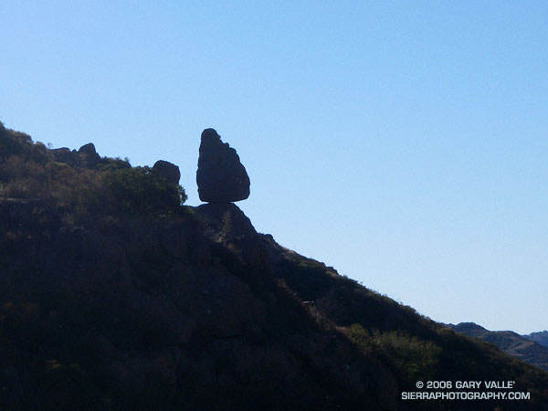
Balance Rock

Balance Rock above Echo Cliffs.

My plan had been to run out the Mishe Mokwa Trail to the Backbone Trail, and then head west towards Sycamore Canyon. I needed to be back in the Valley before noon, so about an hour out I would head back. Running past Echo Cliffs, I tried to pick out some of the steep climbing routes, and contemplated delicately perched Balance Rock. Sections of the trail facing into the morning sun are already warm, but shaded areas are cool and pleasant. Unlike the hot weather at the end of July, it isn’t like running in Death Valley.

By the time I reached the idyllic, oak-shaded area at Split Rock, I’d pretty much forgotten about Balance Rock and was trying to recall the trail choices ahead. But as I rounded a corner, I couldn’t help but notice a small spur trail marked with a sign announcing “Balance Rock – Not a NPS Maintained Trail.”

The last couple of times I had been on the Mishe Mokwa trail, I’d been on long point to point runs, and couldn’t be impulsive. Not so this time – so I hung a right and went to check out the rock. Here is a closer view.

The rocks of this area owe their striking appearance to a dramatic geologic history. The Dibblee geology map indicates that Boney Mountain, Echo Cliffs, and the summit of Sandstone Peak are exposures of 16.1 to 13.1 million year old Conejo Volcanics, probably deposited as volcanic talus and debris-flows.

After taking a few photos, I returned to the Mishe Mokwa Trail, and jogged up to the Backbone Trail. Out of time, I had no choice but to turn east on the Backbone Trail and return to the car. On the way back I did take a few extra minutes to run up the short spur trail to the summit of 3111 ft. Sandstone Peak, the highest point in the Santa Monica Mountains.

The Mishe Mokwa – Sandstone Peak loop has much to recommend it. In terms of scenic value per mile, the approximately 6 mile loop is hard to beat. This National Park Service PDF provides additional information and a trail map of the Circle X Ranch area.

Note: The mileage figure does not include the side trip to Balance Rock. The use trail to the rock – at least the one I followed – was brushy in a few spots.

Mt. Baldy Runner

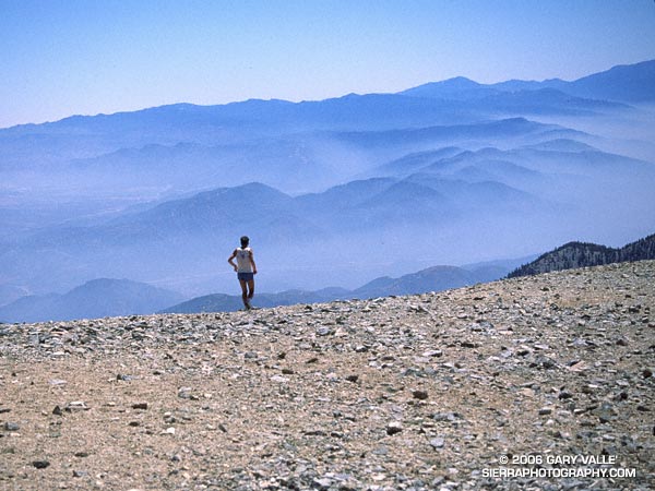
A runner begins the descent from Mt. Baldy.

It’s mid-August, which means that Labor Day, and the Mt. Baldy Run to the Top, are only a couple of weeks away. There’s nothing quite like the experience of racing to the top of a 10,000 ft. peak en masse with 500+ other runners.

The nearly 8 mile course, with 4000′ of elevation gain, has been done in 1:00:49 by Matt Ebiner (1987), and in 1:15:32 by Carrie Garritson (1988). She was age 11 at the time! According to an article in the February / March 2002 Issue of TrailRunner Magazine “wild” Bill Lombardo has done the run barefoot!

More about the runner in this photo, the Mt. Baldy Run to the Top, and a race that climbs Mt. Baldy twice can be found in my SierraPhotography.com page Mt. Baldy, Runner Leaving the Summit. The photograph is from August 1991.

Related post: Mt. Baldy Run to the Top 2007

Peru Running


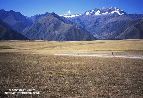
Runners on a high plateau above the Sacred Valley of the Incas.


We did this acclimatization run early in our running adventure in Peru. The grain field is on a plateau at about 11,000′, and parallels the Sacred Valley of the Incas, and Urubamba River.


The run took us across the plateau, down to the Maras salt mines, and then down into the Sacred Valley at a little over 9000′. Excited about the trip, we ran most of the way back to the hotel in Yucay. That evening we enjoyed Pisco Sours and an excellent dinner, and then drifted off to sleep dreaming of big mountains and expansive views.


The high peaks beyond the valley are part of the Cordilla Urubamba and are over 5000m (16,400′). The highest point on the Inca Trail, the “pass of the dead woman,” is at about 13,800′. Later in the trip we would cross two 5000m passes while running a circuit of Mt. Ausangate.


The photograph is from July 15, 2003. The trip organizer, Devy Reinstein of Andes Adventures, is a accomplished runner, and a genius at travel logistics and organization.

Milk Thistle Seed Heads

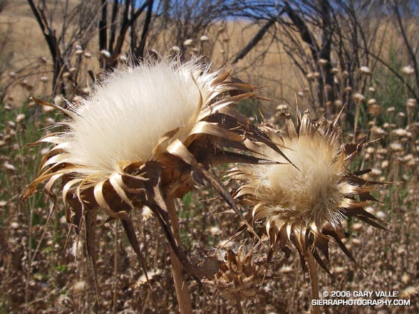
Milk Thistle (Silybum marianum) seed heads.

A native of the Mediterranean, Milk Thistle is an invasive weed that appears to be increasingly profuse in roadside areas of Upper Las Virgenes Canyon Open Space Preserve. Generally considered detrimental in the wild, the plant has been used medicinally for at least 2000 years, and is cultivated in Texas, Canada and Argentina.

According to the Washington State Noxious Weed Control Board, Milk Thistle (Silybum marianum) produces about 190 seeds per flower, and over 6000 seeds per plant. Dense stands are reported to produce 1.4 million viable seeds and four tons of vegetation per acre! Here is a closer look at an individual Milk Thistle seed.

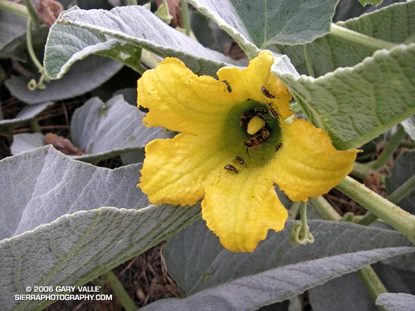
This photograph was taken on a run at Ahmanson Ranch on July 13, 2006. The posting Convoluted includes a photograph of the white-veined leaf, and a photo of a dense stand of Milk Thistle in Las Virgenes Canyon. Additional information regarding Milk Thistle, including its history, laboratory studies, clinical trials, and adverse effects can be found in the National Cancer Institute’s Milk Thistle (PDQ®).