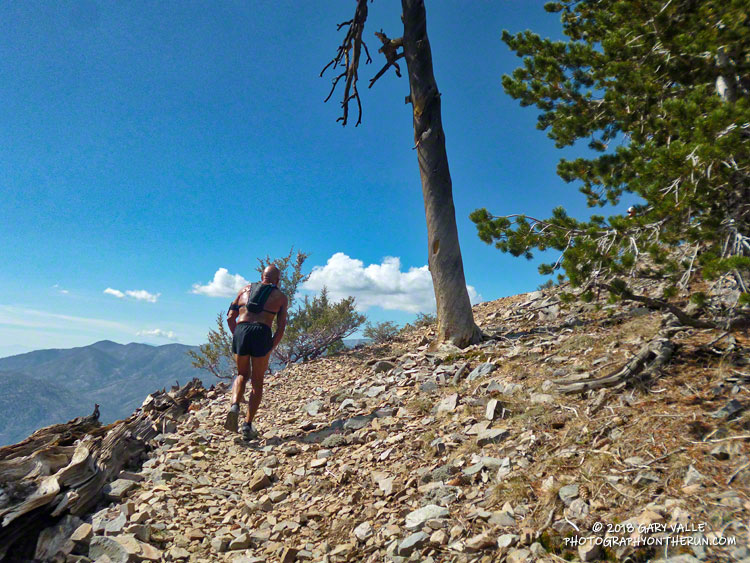
I already had my camera out and paused briefly to take the picture above. We were at about 9800′ on the rocky trail up Sugarloaf Mountain (9952′) and a little less than a half-mile from the summit. At the time, I wasn’t sure how far it was to the top. I thought we were getting close, but I’d thought that before.
Although I’ve done the Kodiak 50M a few times, I’ve always run the Siberia Creek (counterclockwise) course, so the ascent of Sugarloaf was totally new to me. The top of the peak is a stout six mile, 3000′ climb from the Sugarloaf Aid station, and for the uninitiated, there are many false summits along the way.
It was good to be feeling good. I’d run at altitude a lot this summer and it was helping. Running along the summit ridge didn’t feel much different than running on Lasky Mesa. And the weather was nearly ideal. No crazy 100 degree temps — just a few puffy, postcard clouds to dress up the day.
A five-minute jog along the crest ended on the summit. Bear Valley SAR was on top, checking runners in. Before the race they had lugged 1500 lbs. of water two-thirds of the way up the mountain. (Thank you!)
Participation in the 100M, 50M & 50K Kodiak Ultra Marathons has been increasing every year, and really jumped up this year. In 2016 the Sugarloaf Back 50K had 27 finishers and last year the Siberia Creek Back 50K had 57. This year there were 148 finishers in the Back 50K. With an average elevation of 7777′, a high point just shy of 10,000′, and around 6500′ of elevation gain, it’s one of the more challenging 50Ks in California.
It’s one thing to run the last 32 miles of a course, and quite another to run those last miles after running 70 other miles. The Kodiak 100 milers (and 50 milers) were impressive. One trait all seemed to share was a laser-sharp focus on the task at hand. That was certainly the case for veteran Army Ranger Ben Brown, who was running his first 100M in support of 9 Week Warrior — a nonprofit started by Ben and his wife to help veterans, police officers and firefighters. Ben finished the race strong, cruising past me (again) on the dirt road down to the village.
Not all races end the way we want them to. Part way up Sugarloaf I talked to a friend of Ruperto Romero’s and was disappointed to hear that Ruperto, Tony Torres and Mario Martinez missed a turn before the Dump Aid Station (Mile 56). The three had been leading the 100M Prize Purse race since the Champion Aid Station (Mile 20.5). Ruperto won the 100M event last year.
Elan Lieber was the eventual winner in the 100M Prize Purse division in a time of 22:02:08. Daniela Seyler won The Kodiak 100M and was the fastest woman overall in the 100M with a time of 24:09:59. Robby Haas (9:31:09) and Rachel Hallummontes (10:52:48) won their respective divisions in the 50M; and Andrew Cassano (5:49:14) and Emma Delira (6:46:44) topped their divisions in the 50K. All the results are posted on Ultrasignup.
Many thanks to new Kodiak RDs Susie Schmelzer and Harald Zundel, and to Team Kodiak, all the volunteers, Bear Valley SAR, HAM operators, medical personnel, and everyone that helped put on the event.
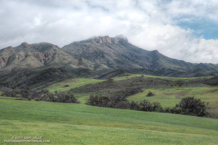
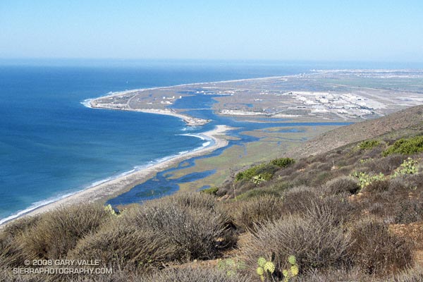
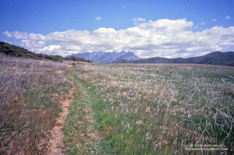
Here are a few photos taken along the way.
Related post: Kodiak 50 Mile 2017 – Smiling at the Finish