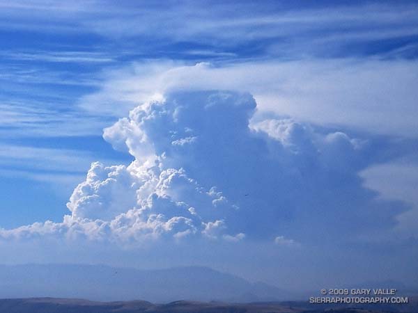
Developing Cumulonimbus Near Mt. Abel
Saturday, Pierce College in Woodland Hills set an all-time record high temperature of 119°F. Following a preliminary review, a NWS forecaster said this was probably the highest temperature ever recorded at an official weather station in Los Angeles County.
To escape this oppressive heat, and avoid the scorching temperatures of last week’s long run, my intent was to get to the highest elevation possible, as early as possible, and stay as cool as possible. At an elevation of about 8400′, the Mt. Pinos Chula Vista trailhead is nearly 2000′ higher than Islip Saddle in the San Gabriel Mountains, and is usually a good choice for a run on a warm day.
A little after 7:30 a.m., under nearly cloudless skies, I jogged out of the Mt. Pinos parking lot reveling in the cool mountain air. I didn’t have a specific route in mind, but thought I would probably do a longer variation of the Mt. Pinos to Mt. Abel run described in my Vincent Tumamait Trail post. Energized by the cool temperature, it didn’t take long to work up and over the summits of Mt. Pinos (8831′) and Sawmill Mountain (8816′), and then down the North Fork Trail to the spring at Sheep Camp (8200′).
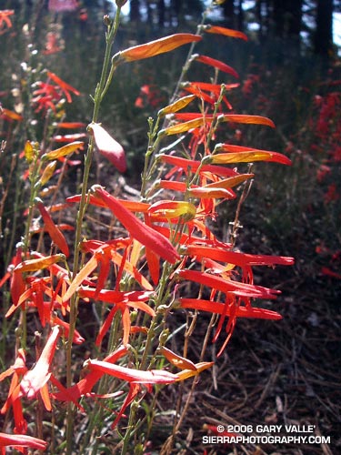
Surrounded by the greens of the spring, and the yellows and reds of wildflowers, I gulped cold water, and thought about where to run. A sign at the “T” with the Tumamait Trail listed the distance to “Lily Meadows Camp” as 3 miles. I hadn’t been on that section of North Fork trail since preparing to run the Inca Trail in 2003.
Deciding to continue down to Lily Meadows Camp, I crossed over the spring and followed the little used, pine needle covered trail southeast along the hillside. The trail dropped steeply along a rounded ridge, where mountain quail fretted among the manzanita and fallen trees, and the minty fragrance of Pennyroyal drifted up from the margins of the trail. Quicly losing elevation, I reminded myself that whatever I ran down, I would have to go back up.
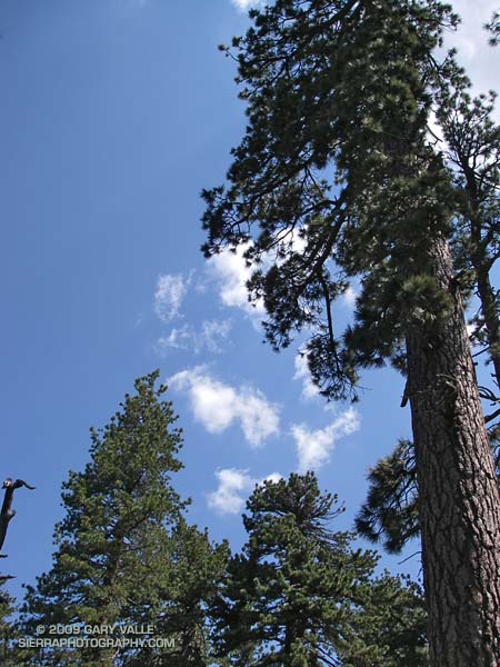
After about a mile and a half, the path switchbacked down to the North Fork of Lockwood Creek. Here, the grade lessened and long stretches of nearly perfect trail running led to Lily Meadows Camp (6250′). Old growth Jeffry pines towered above the camp, and a Monarch butterfly flittered about on a current of air. The pleasant, Sierra-like environment was a welcome change from the 100 degree heat of the previous week!
An 1800′ climb and an hour later, I’m back at Sheep Camp, refilling my Camelbak®. Suddenly a shadow sweeps over the forest, and a small cloud – the first cloud – looms overhead. It’s just after 11:00 a.m., and the heat of the day has triggered some cloud development. After taking a few photos and eating a Clif® Bar, I decide I better get going, and jog up to the junction with the Tumamait Trail.
Reaching the trail junction at about 11:30 a.m., what had been a single tattered cloud in the sky is now several, and my “inner voice” of experience says, “Turn right, you can be back to the car in under an hour!” But it has been such an enjoyable day, and there aren’t that many clouds… I turn left towards Mt. Abel.
At first, shadow and sun play tag among the trees and I join in, chasing the clouds down the twisting and turning trail. The partly cloudy skies are postcard perfect, and I wonder if my concerns are ill-founded. But as the superb downhill segment transitions to up, a gray gloom invades the forest. At Mt. Abel Road, it’s noon. Rationalizing that the extra minutes required to scramble up to Mt. Abel’s summit won’t hurt, I cross the road and head up the steep slope.
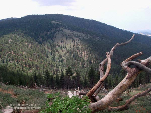
Seven minutes later, I’m back at Mt. Abel road. For a brief moment, a narrow shaft of sun breaks through the darkening sky, illuminating the face of Grouse Mountain. It washes across the slopes of the mountain, and then suddenly all is in shadow. At that instant, I know I’m in a race that I cannot win.
A quarter mile down the trail, the first cold drops of rain dampen my bare legs, and in another quarter mile, there is a rumble of thunder to the north, and then another rumble behind me. Part way up Grouse Mountain, there is a flash, and then directly above me an immediate ear-splitting, crackling clap of thunder. From the first few clouds to the first lightning has taken little more than an hour!
In an astonishingly short period of time, the rain, lightning and thunder grow in magnitude. Flash – boom! Flash – boom! The storm engulfs me as it grows in intensity. In the expanded microseconds that follow each lightning flash, I breathe a sigh of relief that I’m not struck, and then bodily recoil from the immediate and overwhelming power of the crashing thunder.
Cresting the shoulder of Grouse Mountain, I think back to a storm in the San Gabriels, where instead of striking an obvious ridge, a bolt of lightning struck a nondescript tree on the slopes below. There is no place to hide from this monster. I adopt a tactic of almost sprinting through open areas, past tall trees, and when the electric motor smell of ozone fills the air. In areas that seem a little safer, I slow my pace.
At the top of another long climb, near the North Fork trail junction, I’m surprised to see a group of 8 or 9 hikers huddled under a pine tree. They are probably surprised to see someone running along the hilltops. From the first rumble of thunder, I’ve been considering whether hunkering down in the forest off the ridge might be a better strategy. If I had my shell pants, or my runner’s emergency bivi sack (a plastic trash bag), it might be. But wearing just my rain shell, a short-sleeve synthetic top and running shorts, I’m under-dressed for this get together.
Off to the east, in the direction of Mt. Pinos, the sky seems lighter. Maybe the wind is shifting the cells to the west and north. I have no idea how long this thing is going to last, and the pounding rain and gusty winds are sleety cold. I don’t want to stop. Not at all sure it is the better choice, I wish the hikers the best, and continue up the trail toward Sawmill Mountain.
The storm, and my emotions, wax and wane in a recognizable, but hard to define pattern. Periods of awe, elation and fear cycle with the storm. It has only been 30 minutes since the rain and thunder began, but in my distorted world, it might have been 30 hours. The steady rain has flooded the trail, and I feel like I am crossing a never ending creek.
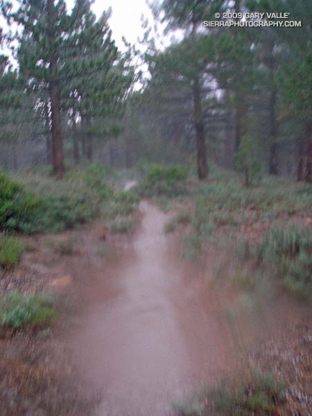
As I near the summit plateau of Sawmill Mountain, erratic gusts of wind tear at the trees. Then suddenly, as if a dam has broken, a deluge of lightning, thunder, rain and hail spills from the sky. It is the most intense rain I have ever experienced. A pounding rain, thick with hail, driven by a downburst of wind and gravity. Torrents of water cascade down the trail. It is ferocious.
Running through the maelstrom across the plateau, ahead I can see the point where the trail drops off the summit, and descends to a saddle. I just have to get there. Lightning flashes, and thunder booms behind me. My feet are numbed and cold, and I wonder how water on the trail can be calf deep. Reaching the shoulder of the mountain, I start to descend. From time to time I get a glimpse of Mt. Pinos, and I can see a little smudge of blue under the dark clouds over the summit. As I descend toward the saddle, the intensity of the storm seems to be diminishing. There is still lightning, thunder and rain, but for a moment the focus of the storm seems to be shifting elsewhere. I take a deep breath, and debate what I’m going to do about getting over the exposed summit of Mt. Pinos.
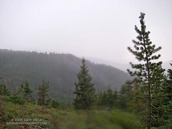
There are still two groups of active cells. The main thunderstorm complex seems to be behind me, toward Mt. Abel; but there is also an active group of cells just north of Mt. Pinos. While I’ve seen no lightning strike the summit of Mt. Pinos, it is almost a certainty. I decide to work up the switchbacks toward the summit, continuing my tactic of minimizing my time in areas that are exposed. The rain has nearly stopped, and I haven’t smelled ozone since on Sawmill Mountain, but some sections of the trail are frighteningly exposed. Working up to the highest point that appears to offer some protection, I pause and listen. The timing may be right. The thunderstorm activity seems to be in a down cycle.
I leave my alcove. In seconds I’ve rounded a rocky rib of the peak, and am suddenly the tallest and most linear object on its bare shoulder. Thunder rumbles off to the north, a reminder I don’t need. Heart pounding, I’ve already pushed the pace as much as the grade, elevation, and my body will allow, and now there is nothing for me to do but run.
It is not a relief to reach the summit. I see a bolt of lightning strike to the northeast, near a radio tower less than a quarter mile away. Partially hidden from view, I can’t tell if the lightning struck the tower, or a ridge beyond. It doesn’t matter. I have to get off the summit.
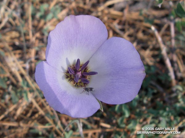
Running along the road from the observation point, I’m nervous about going in the direction of the relay tower, and the last lightning strike. I know the road will soon turn downhill, but as hard as I am running, I don’t seem to be getting anywhere. Finally, I see, and then round the turn. Another 50 yards, and for the moment I’m safe. A dash across one meadow, and then another, and the main danger is past.
To the east, I see more blue sky, and broken clouds. Continuing to descend, I hear a group of Chickadees chattering in a nearby tree. They sound happy. So am I.
Here’s a Google Earth image and Google Earth KMZ file of a GPS trace of my route.
Epilogue: According to the American Meteorological Society, lightning kills more people per year on average than hurricanes and tornadoes combined. For more information regarding lightning safety, please see the National Weather Service Lightning Safety page. Here’s what the thunderstorm looked like on radar.
(The title photograph is of a developing cumulonimbus near Mt. Abel. It was taken on a run at Sage Ranch on July, 19, 2006.)
