Category Archives: running

Satwiwa Shadows & Sun

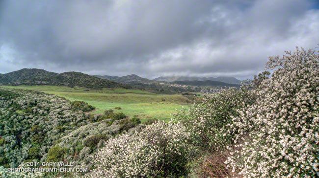
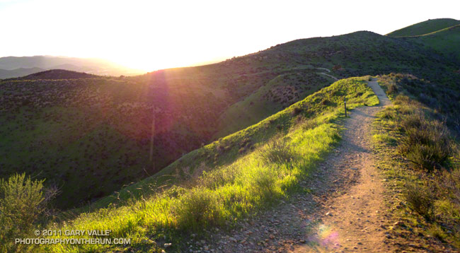
Satwiwa from Danielson Rd.

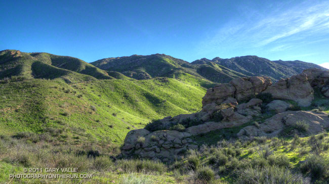
By the time I reached Rancho Sierra Vista/Satwiwa at the end of last Sunday’s wet run to Serrano Valley and back, the frontal band was mostly done with its showers and was speeding to the east. In its wake were blustery winds, broken clouds, and a dynamic patchwork of sun and shadow on Satwiwa’s spectacularly green landscape.

Showery Sunday

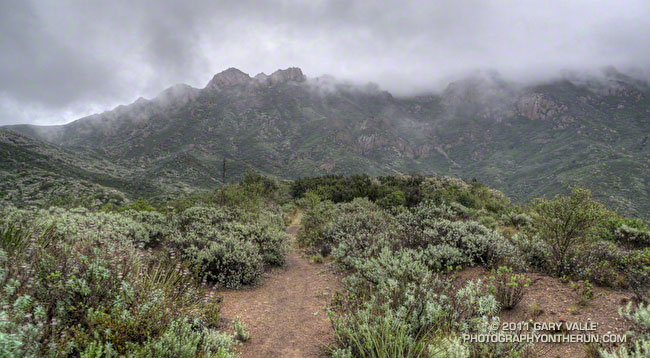
Boney Mountain from the Old Boney Trail

Boney Mountain from the Old Boney Trail

It started to sprinkle as I walked from my car to the Wendy Drive trailhead. In a matter of minutes the sprinkles turned to a light, but steady rain, and the Satwiwa trail started to become slick with mud. The rainy weather would continue through most of my run in Pt. Mugu State Park.


It was wet today, but today’s rain was the first in Southern California in nearly a month. Southern California was very wet from October through December, but the storm door from the Pacific into California slammed shut in early January. The weeks of wet weather followed by weeks of warm, dry weather has the plant communities of the Santa Monica Mountains thinking it’s Spring.

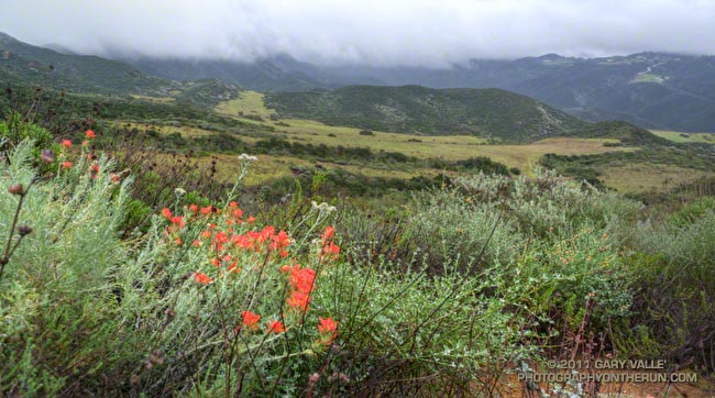
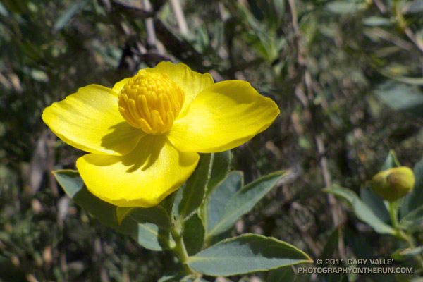
Among the flowers blooming along the Old Boney and Serrano Valley trails were paintbrush, encelia, milkmaids, phlox, shooting star, nightshade, wild cucumber, canyon sunflower, deerweed, and bigpod ceanothus. But more than the plants have responded. On January 17, trail runner Howard Cohen took this video of a sizable rattlesnake on the Old Boney Trail!

Some related posts: Serrano Valley from Wendy Drive, Serrano Valley from the Chamberlain Trail

Bulldog Loop or Saddle Peak Out & Back?

Which to do? Both courses start at the intersection of Malibu Canyon Rd. and Piuma Rd., are 13-14 miles in length, and have about 2600-2700′ of elevation gain/loss — but they are very different trail runs.


Much of the Bulldog Loop is on fire roads, while the Saddle Peak Out & Back is 99.9% single track — much of it rough and technical. A comparison of the elevation profiles shows that the main climb on the Saddle Peak run is steeper than the Bulldog climb, and gains an additional 300 ft. in elevation. The Bulldog Loop has longer stretches of more or less level running.

Either course is a good choice for a strenuous run with great views and scenery. On a long run day, the runs can also be combined to create a difficult 27.5 mile course with your car as the main aid station. The Bulldog 50K used to follow much of this combined course, as well as loop through upper Solstice Canyon on the Backbone Trail. Problems with a property owner on Castro Peak necessitated a change to the current 50K course.

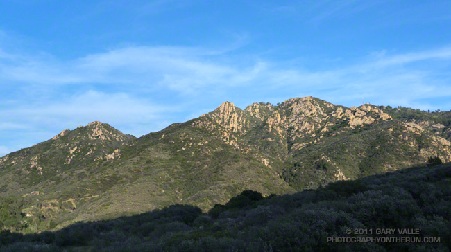
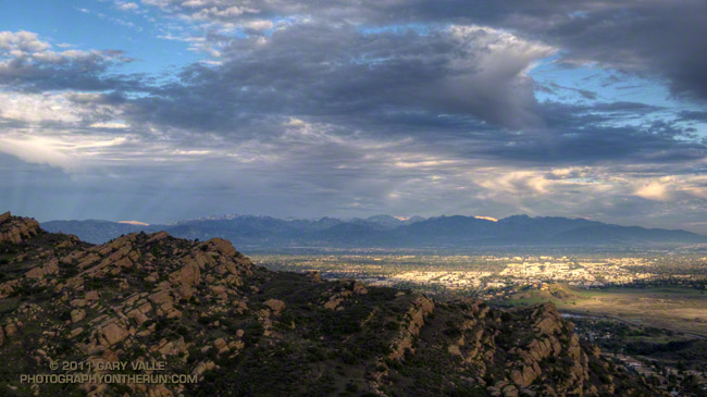
Today I opted for the Saddle Peak Out & Back run. The title photograph is Saddle Peak from the Backbone Trail. The trail switchbacks up the steep sunlit face on the center-left of the photo.

Here are interactive Cesium browser Views of the Saddle Peak Out & Back, and the Bulldog Loop.

Chumash Trail Green

Chumash Trail in Simi Valley

It’s now been 17 days since there’s been measurable rain at Downtown Los Angeles (USC). A trace of rain was recorded on a couple of days, but for the time being a big blocking ridge has shut the door on Pacific precipitation.

So far this January, only 0.58 of rain has been recorded, which is a little less than one-third of normal for the month. However, because of our frequent December storms the water year total at Los Angeles is currently about double the normal amount — and why open space areas of Southern California have turned so lush and green.

Bandit Training

Top of the Wildlife Corridor Trail

What a difference 5 days makes! In the cold morning shadows before the start of the Boney Mountain race last Sunday, the dew on the fences was frozen and frost was everywhere. This morning in Corriganville Park the temperature was a balmy 65 or so, and the high was expected to be around eighty.

Today I was running the Bandit 30K course as part of a training run organized by Bandit 15K/30K/50K R.D. Randy Shoemaker. Good thing too. Even though these are my backyard trails, it reminded me just how tough these courses are. The numbers — about 3300 ft. of gain/loss over 19.5 miles for the 30K — don’t tell the whole story.


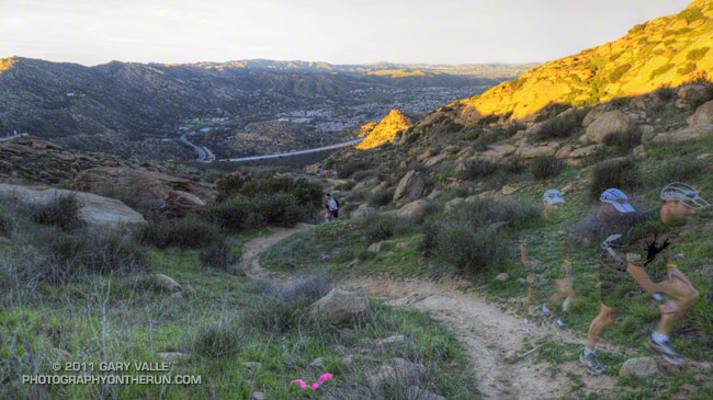
The title photograph is of runners at the top of the Wildlife Corridor Trail. This gnarly trail links Corriganville Park to Rocky Peak Road, and it is just one of the special treats you’ll encounter on the 15K, 30K and 50K courses. I don’t know if it tougher going up, when your legs are fresh; or going down, when your legs are worked. From personal experience I know it is really easy to push too hard on this climb, and mutter to yourself, “Why did I do that?” for the remainder of the race.

Today, the conditions could not have been better. Well, if we’re going to nitpick, maybe a little less wind. But who can complain on a January day when skies are blue, the hills are green, and the temperature is in the seventies?