Category Archives: running

Sunny Sunday

Upper Las Virgenes Canyon

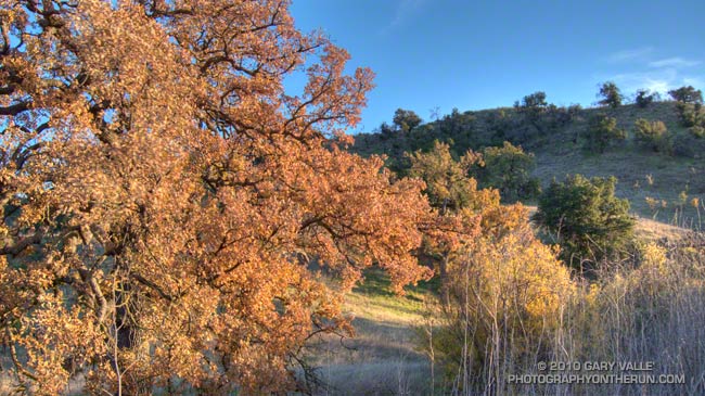
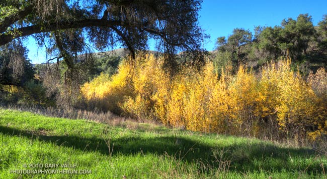
Today was one of those spectacular, sunny, warm December days we relish in Southern California; perfect for just about any outdoor activity. High temperatures were forcast to be in the high 80’s or low 90’s, and temperature records for the date were expected to be broken in many areas. As I ran north in upper Las Virgenes Canyon, I wasn’t sure where, or how far, I was going to run. On such a great day, it really didn’t matter.

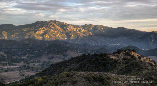
Yesterday I’d looked across at Simi Peak while ascending Ladyface, and realized it had been more than a year since I’d run to Simi Peak from the Victory trailhead at Ahmanson Ranch. Rain was forecast the following weekend, so I’d better take advantage of the good weather while I had it! The out and back run to Simi Peak would be a good one.


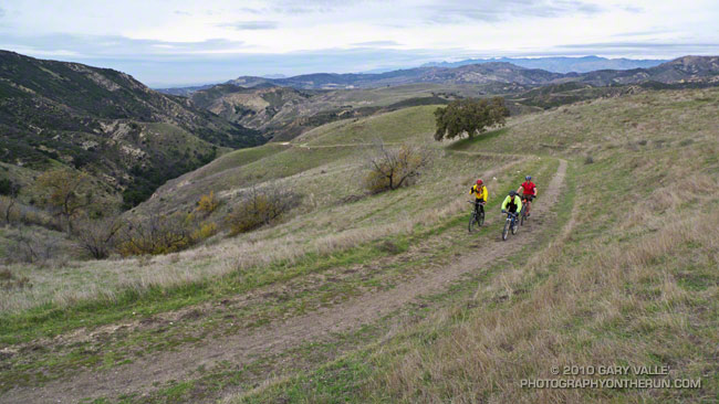
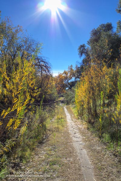
The most direct route to China Flat and Simi Peak from upper Las Virgenes Canyon road is the Sheep Corral Trail. This singletrack trail forks left (west) from the road where Las Virgenes Canyon splits, initially following the main creek west, rather than the pipeline north. The singletrack is popular with mountain bikers and can be used to connect to the Cheeseboro Ridge and Cheeseboro Canyon trails. Both of theses trails are good options for doing a lollipop loop back to Las Virgenes Canyon.

Today I would continue past Cheeseboro Ridge and Cheeseboro Canyon to the Palo Comado fire road. Palo Comado leads up and over a low pass to an old sheep corral at China Flat. Simi Peak is bit more than a mile west of the corral. It usually takes about 15-20 minutes to run there from the sheep corral.

Here’s an interactive Cesium browser View of a GPS trace of my out and back route.

Some related posts: Simi Peak Out & Back, Scenic Route to Simi Peak, Vernal Pool at China Flat

Long Shadows, Cool Canyons

Valley oak

It’s that time of year. Willows and wild walnut trees are showing some Fall color, and the valley oaks are losing their leaves. Even on a warm day, the long shadows, clear skies and low humidity of late Autumn cool the hillsides, generating chilled katabatic flows down gullies and canyons.

As temperatures warmed up this week I took a probe thermometer on my afternoon trail runs at Ahmanson Ranch (Upper Las Virgenes Canyon Open Space Preserve) and measured the temperature of some of these invisible streams.

My general weather data reference for the area is the Cheeseboro Remote Automated Weather Station (RAWS). The high temperature at the Cheeseboro RAWS ranged from 73°F on Tuesday to 75°F Thursday. The temperature in the shade at the Victory trailhead parking lot at the beginning of my runs (around 4:00-4:15) was about 70°F.

Tuesday, the temperature on the road about 1.1 miles from the parking lot, and above East Las Virgenes Canyon was about 69°F. A quarter-mile away, down in the dry streambed, the temperature was a chilly 47°F — a drop of 22°F.

Wednesday, I ran to upper Las Virgenes Canyon. The temperature at a saddle above the canyon was 66°F. Down in the canyon near one of the stream crossings, the temperature was 45°F — a difference of 21°F.

Thursday I ran back to the same point in Las Virgenes Canyon. Even though the high temperature for the day was about the same as Wednesday, the humidity was higher, and there were some high clouds. The katabatic flow was not as well-defined, and the temperature drop was only about 13°F.

Conditions during the week were not especially favorable for hillside radiational cooling, and I expect temperature differences of 30°F might be possible in ideal circumstances. In any case it feels like that in running shorts and a short-sleeve shirt.

Cranking Up Las Llajas

Connector from Las Llajas Canyon to Rocky Peak Rd.

Ran a variation of the Chumash-Las Llajas loop this morning. One of the reasons for the run was to check out one of the larger vernal ponds in the Rocky Peak area and see if it had water. It didn’t.

Another reason is the loop is part of the grueling Bandit 30K/50K course, and the February 20th race date will be here before we know it.

The hill the MTBers are cranking up covers about miles 12 to 13 on the Bandit 30K course, and follows a gradual — but long — uphill in Las Lajas Canyon that gains 600′ of elevation over 3 miles. It’s just one of the fun parts of a tough 30K course, and 50Kers get to do it twice!

Some related posts: Bandit 30K Course Preview, Running Rocky Peak Road, Bandit 30K 2009, Bandit Country