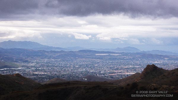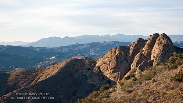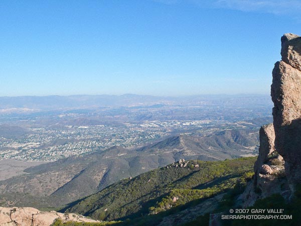
Every event has its own personality and character. The XTERRA Boney Mountain Half Marathon is a trail running classic, with superb single track trails, fantastic views, grueling climbs, and fast, fast downhills. The longer climbs are on the single track sections of the course, and the descents generally on roads or old road beds. This results in a challenging course with 2600′ of elevation gain/loss, that — for the fleet-footed — can be very fast.
There are two significant climbs. The big one starts in earnest around mile 6.8 on the Old Boney Trail. This is a little less than a mile past the Danielson aid station. From the low point on the course (295′) in Big Sycamore Canyon at mile 5.5 to the high point of the course (1820′) at mile 9.75, there is a gain of about 1700′ and loss of about 175′ in elevation.
The Old Boney climb is tough, no doubt. But you have to be careful not to overlook the nearly 700′ of climb (and a little downhill) between mile 1.8 and mile 4. Early in the race, full of energy and charged with endorphins and adrenaline, it’s easy to push this section too hard. Runners tend to be more tightly grouped, and a dynamic develops that pushes the pace.
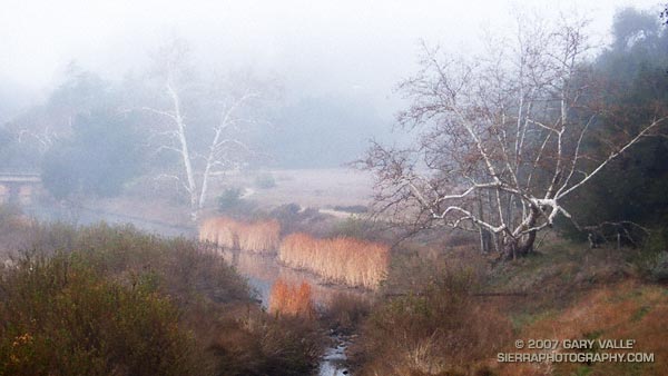
I managed to avoid that trap, and other than slipping at the first creek crossing and almost diving for mud snails, my race went reasonably well. The group of runners I tended to be around were upbeat and experienced, and everyone seemed to be enjoying the day. The weather was about as good as it gets for a race — cool and clear and without much wind. The trail was still damp from heavy rain earlier in the month, but there was almost no mud.
I took a water bottle and 3 GUs and skipped most of the aid stations. In my case I think this saved time, and I stayed better hydrated than if I had run without a bottle.
This year’s overall winner, Jonathan Toker, flew through the course in 1:36:30, averaging 7:22 minute miles! The overall Women’s winner was Julie Jakoboski with a time of 1:54:05. Full results can be found on the Boney Mountain Trail Run web page. Many thanks to the crew at Generic Events, and all of the race volunteers, for a great race!
Here’s a Google Earth image and an interactive 3D terrain view of a GPS trace of the Boney Mountain Half Marathon course.
Sobering note: In 2006 Sal Bautista ran the course in 1:31:11, averaging 6:58 minute miles!