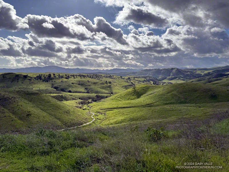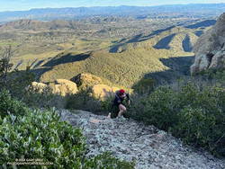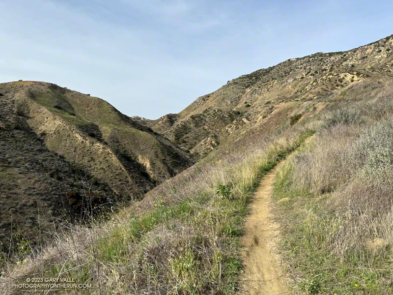
The Backbone Trail between Encinal Canyon and Mishe Mokwa is one of the must-do sections of the 68-mile trail. Engineered to be multi-use, this exceptionally scenic stretch of the Backbone Trail is popular with riders, hikers, and runners alike.
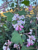
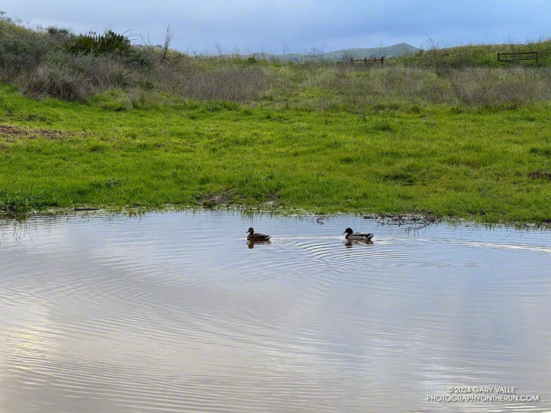
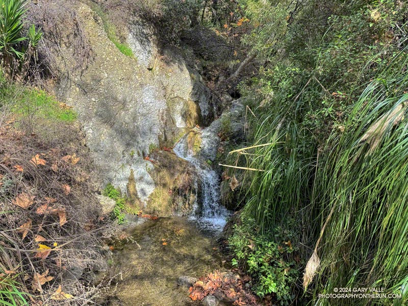
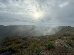
It’s also a pretty good place for a trail run after rainy weather like we’ve had this February. Although the parking lot at the Encinal Trailhead was quite wet this morning, the Backbone Trail was in decent shape most of the way to the Mishe Mokwa trailhead. There were a few muddy and wet spots, but it was generally easy to work around them. And I didn’t have to change my shoes before driving home.
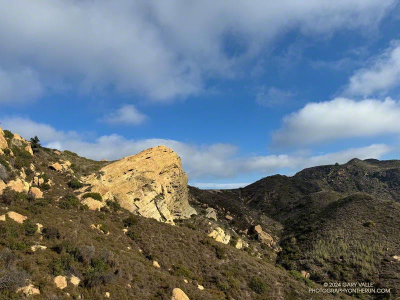
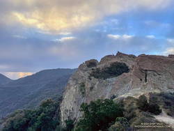
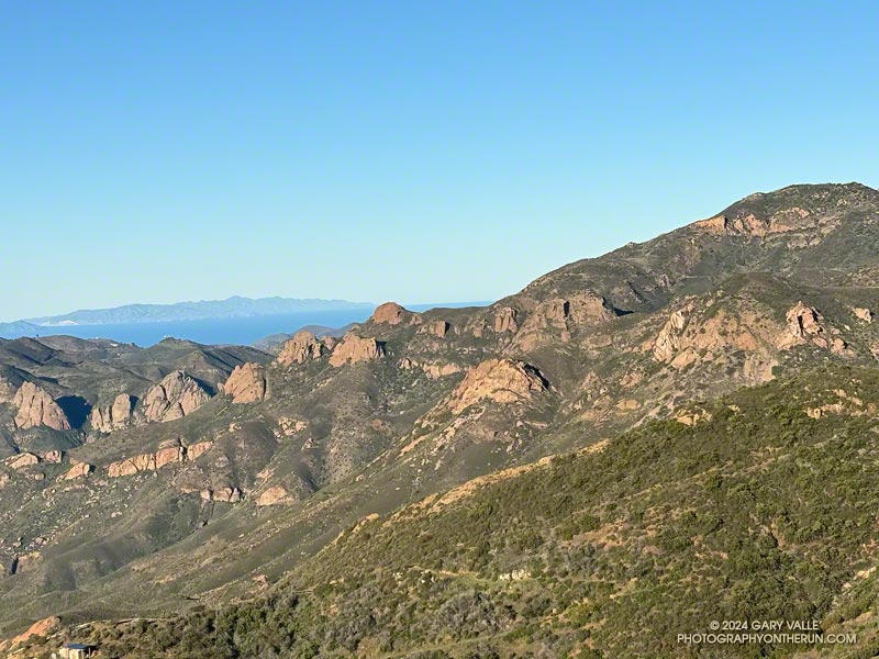
The out & back run worked out to about 21-miles, with a surprisingly moderate gain/loss of about 2500′. The weather and visibility were excellent. Striking rock formations and the Channel Islands could be seen from one side of Etz Meloy Mtwy fire road, and snow on Alamo Mountain and other Ventura County peaks from the other side.
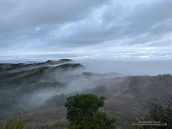
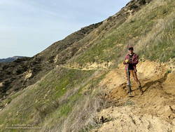
On the way back, as I was working up the long hill on the northwest side of Triunfo Lookout, a descending mountain biker commented that a large group of bikers were at “the corner.” The overlook at this prominent switchback has a wide-ranging view of Mishe Mokwa, Boney Mountain, and Sandstone Peak, and some prefer to turn around here. This variation is about 3.5 miles shorter (round-trip) than dropping down into the canyon and going all the way to Mishe Mokwa.
Explore the scenery and terrain on the Backbone Trail of this out-and-back trail run and hike from Encinal Canyon to Mishe Mokwa using our high resolution, interactive, 3D viewer. The imagery is so detailed, it’s almost like being there! To change the view, use the control on the upper right side of the screen, the CTRL key and your mouse, or touch gestures. Track and placename locations are approximate and subject to errors. Poor weather, and other conditions may make this route unsuitable for this activity. Here’s an elevation profile of the route.
Some related posts:
– Encinal Canyon to Mishe Mokwa Out and Back Trail Run
– Kanan to Mishe Mokwa and Back
– Kanan to Mishe Mokwa to Wendy Drive
– Night Training for the Backbone Ultra