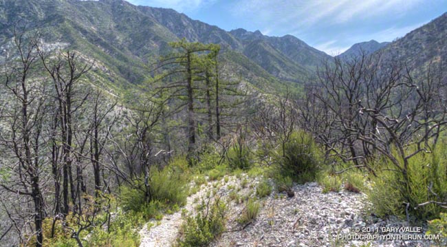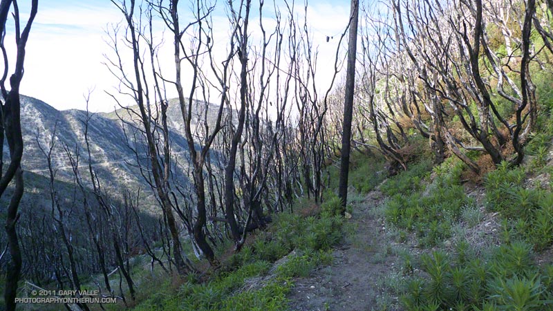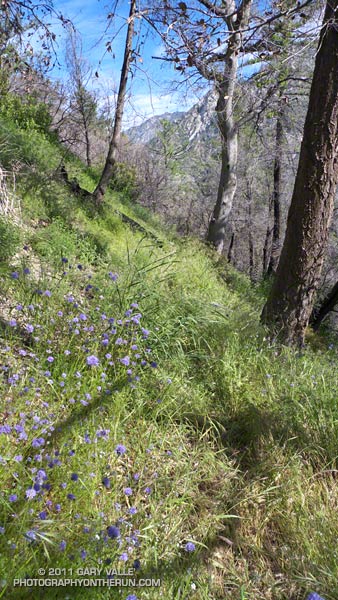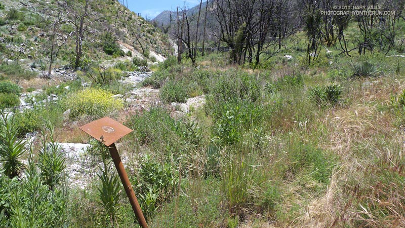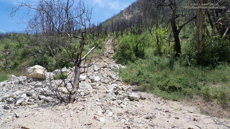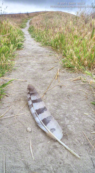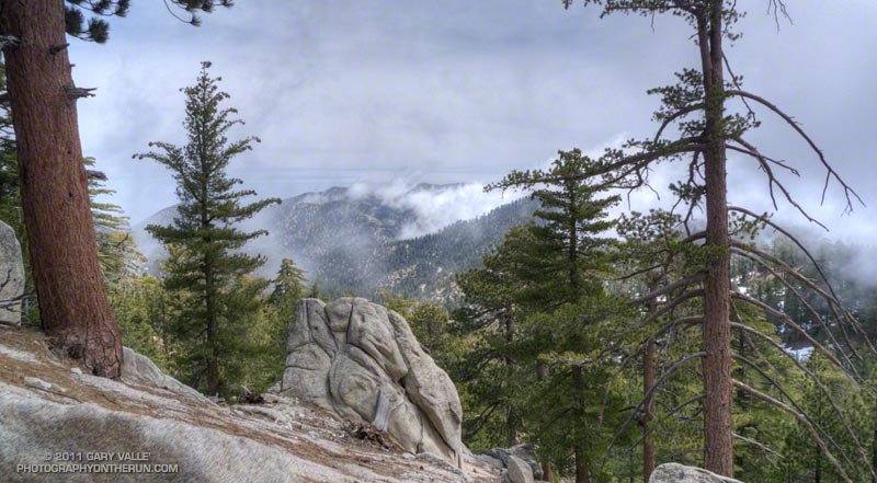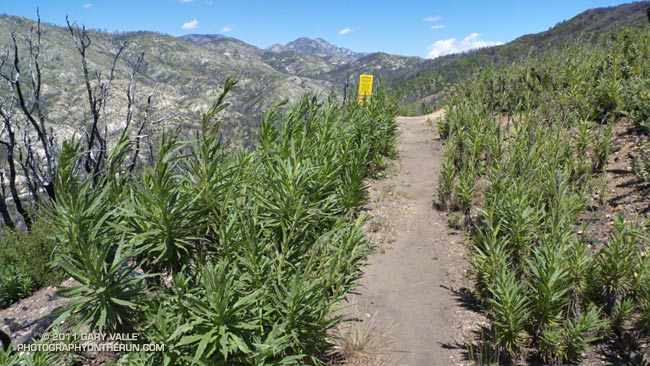
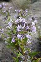
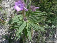
I knew Poodle-dog bush* was a common fire follower, but had never run or hiked through a burn area where it was abundant. Wow, it was everywhere on the Red Box – Bear Canyon – Gabrielino Loop last Saturday, and particularly dense on sections of the Gabrielino Trail between Switzers and Red Box. It appears to be one of the most common fire-followers in the Station Fire burn area, and likely plays an important role in the recovery process.
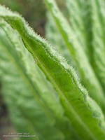
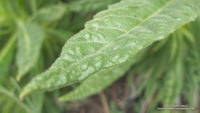
Gland-tipped hairs on the plant secrete a sticky substance that causes a rash “like poison oak” in sensitized persons. I thought I wasn’t sensitive to the plant, because I had brushed against the leaves of Poodle-dog bush before without reacting to it. This time my exposure was repeated, frequent, and prolonged; and the leaves were heavily coated with exudate. At the end of the loop my legs and forearms were coated with a thick layer of resinous brown gunk that would not wash off with water.
By the time I had finished the run, talked to some people at Red Box, and driven home, 2-3 hours had passed. Tecnu helped remove the resinous goo, but as I would discover a couple of days later, it did not prevent me from getting the rash.
My reaction to Poodle-dog bush was quite a bit different than what I’ve experienced with poison oak. A blotchy red rash developed on my arms and legs Monday, about 48 hours after exposure. After another 24 hours I thought the rash was going away, but it was actually morphing into a more widespread and uniform inflammation that was similar to bad sunburn — a very itchy sunburn. There was some swelling and edema, particularly on my ankles. In the areas that had the most contact with the Poodle-dog bush, primarily my shins and around my knees, there was some blistering. The blisters were small, perhaps 1/16 inch in diameter or less.
Most of the blisters were gone by Thursday afternoon, and since then the inflammation has been slowly subsiding. Although very itchy and annoying at times, it has not been debilitating. An equivalent exposure to poison oak would have been much more severe. However, in my case an underlying irritation or sensitivity has lingered for some time after the visible reaction dissipated. It seems like it will probably take a few more days for the reaction to completely resolve. We’ll see!
Update July 12, 2011. My reaction to Poodle-dog bush cleared after about two weeks. A running friend who recently did some trail work removing Turricula on the Kenyon Devore Trail sent this photograph of a blotchy red rash that developed on his forearm. He first noticed a reaction four days after doing the trail work, and the photograph was taken 10 days after exposure. As in my case, several hours later he commented that the blotchy rash had merged into a more general inflammation with swelling.
Research has found the dermatitic agents in the Poodle-dog bush exudate are “phacelioids,” hydroquinone based compounds structurally related to poison oak/ivy urushiols, but not as active. In one study the amount of the phacelioids in Poodle-dog bush required to produce a qualified reaction was 100 times that required for a component of urushiol from poison ivy — 170 µg vs 1.6 µg.
It is also noted that in place oxidation of hydroquinone based phacelioids is likely necessary to interact with the proteins of the skin and produce a reaction. This (and common sense) suggests that leaving the Poodle-dog bush exudate on your skin for several hours (like I did) is probably a bad idea.
For more information see:
Contact Dermatitis From Eriodictyon parryi: A Novel Cause of Contact Dermatitis in California. Christopher D. Czaplicki, Wilderness & Environmental Medicine, 2013; 24(3):253–256
Prenylated Phenolics that Cause Contact Dermatitis from Glandular Trichomes of Turricula parryi. G. W. Reynolds, P. Proksch, E. Rodriguez, Planta Medica, 1985; 51(6): 494-498
Unusual contact allergens from plants in the family Hydrophyllaceae. G. W. Reynolds, W. L. Epstein, E. Rodriguez, Contact Dermatitis, 1986; 14:39-44
The book Poisonous plants of California by Thomas C. Fuller, Elizabeth May McClintock (1986) describes a 1941 incident in which hairs from old flowering stalks “easily broken from the stems” caused a rash, but flowering plants the previous year did not.
*The taxonomic name for Turricula parryi (Poodle-dog bush) has changed to Eriodictyon parryi. The Jepson Manual: Vascular Plants of California, Second Edition (2012) has returned Turricula to the genus Eriodictyon, as originally described by Gray. According to the Wikipedia entry for Turricula (April 11, 2012), “… molecular phylogenetic analysis carried out by Ferguson (1998) confirms that Turricula should be treated as a separate genus within a clade (Ferguson does not use the term “subfamily”) that includes Eriodictyon, and also the genera Nama and Wigandia; Eriodictyon is the genus to which Turricula is closest in molecular terms, and is its sister taxon.” I use “Turricula” and “Poodle-dog bush” interchangeably as a common name.
Related post: Getting Over Poodle-dog Bush Dermatitis and these additional posts.