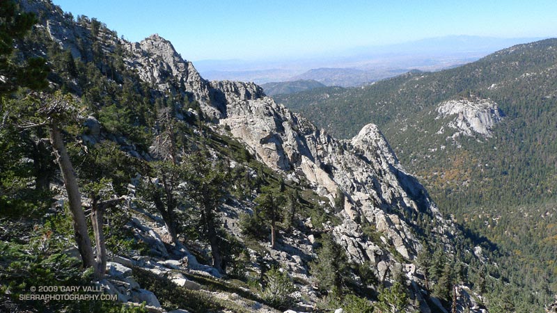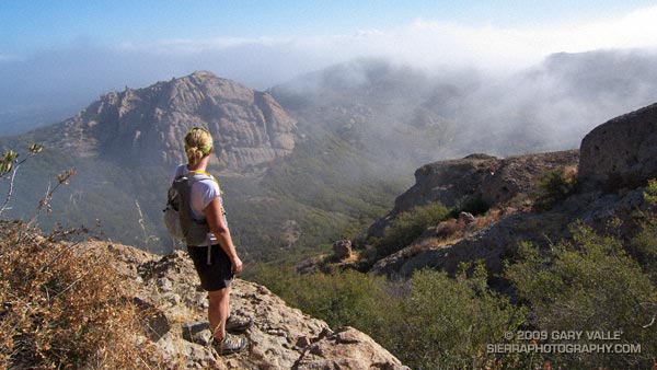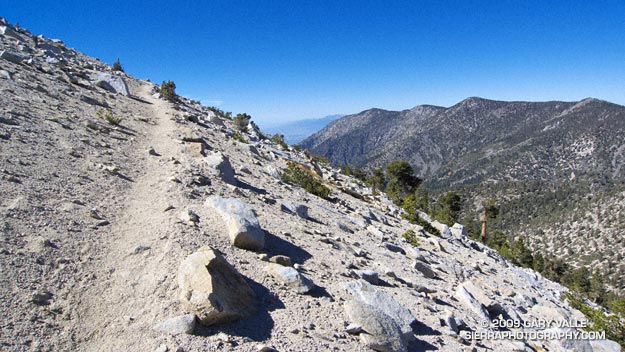
San Bernardino Mountain Divide from near Charlton Peak
As I approached the spur trail to High Meadow Springs, I tried to convince myself I had enough water to continue. The problem wasn’t the third of a mile detour down to the spring, or even the 280′ loss of elevation. The problem was the interruption. Having to get water was like having to stop to remove an annoying little rock from your shoe. You know you should, but one mile passes, then two… The running along the 10,500′ crest on the Divide Trail was just so spectacular, I didn’t want to stop!
I reached behind my back and squished the Camelbak reservoir with my hand. Yea, there’s plenty of water, I don’t have to stop. I can make it to the summit of Gorgonio, and then get water at High Camp on Vivian Creek on the way down.
But hadn’t I nearly run out of water the last time I did this? I did a rough calculation of the distance… about four miles to the peak, with a gain of 1500′, and then another four miles to the creek. Reluctantly, I slowed, and turned off the Divide Trail
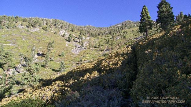
At the spring, I pulled the reservoir from my pack. Only about 25 oz. of water remained. The little spring burbled and gurgled energetically, and it didn’t take long to replenish my water supply. East of Shields Flat, the trail to High Meadow Springs is about a quarter-mile below the point marked 10,500 on the topo, and about half a mile above Red Rock Flat. At an elevation of 10,120′, the springs sit near the top of a steep canyon that drops down to Plummer Meadows. It’s an airy location with an expansive view.
Earlier, I had chugged up the Momyer Creek Trail to the San Bernardino Peak Divide Trail. Once past the turn to Alger Camp, this trail becomes more of a footpath, weaving its way through a middle elevation forest of pine and fir, around innumerable bark beetle felled Jeffrey pines, and up to a high mountain habitat of chaparral and Lodgepole pine.
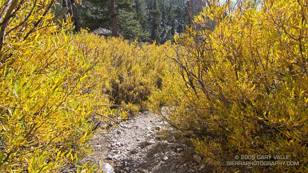
If stretches of trail with a 30% grade are not enough of a challenge, the last couple of miles to the divide include overgrown sections that will not only slow the shorts clad hiker or runner, but over time become annoyingly painful. Chinquapin is your friend, manzanita an adversary, and whitethorn your archenemy. And there is a lot of whitethorn.
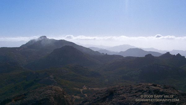
After visiting High Meadow Springs, I continued down to Dollar Saddle. Beyond this point I expected to see an increasing number of hikers. The previous Saturday it had been exceptionally busy on Mt. San Jacinto, and the weather was even better today. Eventually, near Jepson Peak, I encountered a couple of hikers returning from the summit, and then passed a couple more working up the trail. But that was it — and the summit of San Gorgonio was empty. Unusual for such a perfect Autumn day.
Here’s a Cesium browser View of a GPS trace of the 26 mile route, and an elevation profile generated by SportTracks. The approximate elevation gain and loss was about 7000′.
Related post: San Gorgonio High Line, San Gorgonio Mountain – Falls Creek Loop