Category Archives: trails

Sweat & Smoke on the Backbone Trail

Smoke shrouded peaks of Malibu Creek State Park.

Was looking to do something different that my usual suite of weekday runs, and possibly escape the heat of the San Fernando Valley and the smoke of the Station Fire.


Ferns along the Backbone Trail, between Piuma Rd. and Stunt Rd., in the Santa Monica Mountains, east of Malibu Canyon.
Didn’t escape the heat or the smoke, but did get in a good 8 mile out & back run on the Backbone Trail in the Santa Monica Mountains.

This run is a shorter version of a 13 mile run that starts at Piuma Rd. & Malibu Cyn. Rd. and ascends Saddle Peak. The turnaround point for the 8 mile version is at a saddle marked by a broken fence post, about a mile before the Stunt High Trail junction.

Related post: Saddle Peak

Station Fire MODIS Fire Detections

See links below for most recent image

Also see: Interactive Google Earth View of the Area Burned by the Station Fire.

Updated 09/09/09 11:00 a.m. Added GEOMAC perimeter dated September 9, 2009 2:00 a.m. to MODIS 1km fire detections as of September 9, 2009 at 6:00 a.m. PDT.

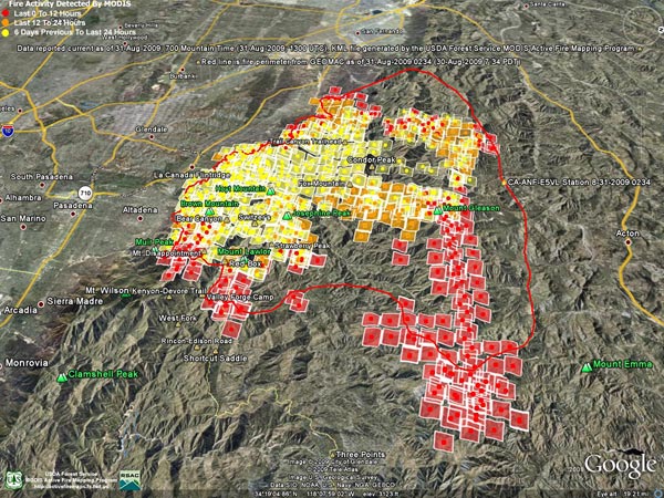
These Google Earth images of MODIS 1km fire detections gives a general idea of the extent of Station Fire. Includes most recent fire perimeter available from GEOMAC at the time the graphic was created:

September 9, 2009 at 6:00 a.m. PDT

September 8, 2009 at 6:00 a.m. PDTSeptember 7, 2009 at 4:00 a.m. PDTSeptember 6, 2009 at 6:00 a.m. PDT

September 5, 2009 at 6:00 a.m. PDT – September 4, 2009 at 6:00 a.m. PDTSeptember 3, 2009 at 6:00 a.m. PDT

September 2, 2009 at 7:00 a.m. PDTSeptember 1, 2009 at 6:00 a.m. PDTAugust 31, 2009 at 6:00 a.m. PDT

Fire detection KML files were generated by the USDA Forest Service MODIS Active Fire Mapping Program. Some additional place names have been added — locations are approximate.

PLEASE NOTE THE FOLLOWING IMPORTANT INFORMATION FROM THE KML FILES:

CONUS MODIS 1km Fire Detections

This KML displays the MODIS fire detections at a spatial resolution of 1km for the past 12 hours, 12-24 hours and the previous 6 day period. Each 1km MODIS fire detection is depicted as a point representing the centroid of the 1km pixel where the fire is detected. The 1km footprint of the MODIS pixel for each detection is also displayed.

KML file generated by the USDA Forest Service MODIS Active Fire Mapping Program. Please see //activefiremaps.fs.fed.us for additional fire mapping products and information.

Disclaimer: Although these data have been used by the USDA Forest Service, the USDA Forest Service shall not be held liable for improper or incorrect use of the data described and/or contained herein. The information contained in these data is dynamic and is continually updated. It is the responsibility of the data user to use the data appropriately and consistent within the limitations of geospatial data in general and these data in particular. Using the data for other than their intended purpose may yield inaccurate or misleading results. The USDA Forest Service gives no warranty, expressed or implied, as to the accuracy, reliability, or completeness of these data. Although these data have been processed successfully on a computer system at the USDA Forest Service, no warranty expressed or implied is made regarding the utility of the data on another system or for general or scientific purposes, nor shall the act of distribution constitute any such warranty. This disclaimer applies both to individual use of the data and aggregate use with other data. The USDA Forest Service reserves the right to correct, update or modify this data and related materials without notification.

Las Llajas Longhorns

Longhorn or Corriente bull and heifer on the Las Llajas loop.

Part of the appeal of trail running is that even on a short weekday run, close to home, on a familiar trail, stuff happens.

The plan for today’s trail run was a simple one — run up and down the Chumash Trail in Rocky Peak Park. By the time we were done, a 5 mile run would morph into a loop of nearly 10 miles. We would encounter a rattlesnake and a longhorn bull, and we would run short on water. But we would also have a great run!


Southern Pacific rattlesnake on the Chumash Trail
I’ve run in the Rocky Peak area for decades, and from time to time have encountered cattle near the end of Rocky Peak road. In recent years, the herd has been hanging out in the oil field and oaks between Las Llajas Canyon (near Poe Ranch) and a small mesa east of Rocky Peak road.

Seems to me most of the stock used to be Brahman, but these days there are many longhorns in the mix and according to an expert, these could be Longhorn, Corriente, or a Longhorn/Corriente cross.

When they heard us coming down the road most of the cattle just moved to another area — except for the big guy in the title photo. He made it very clear that no one should be messing with his heifers. He was a little agitated. While he didn’t charge us, it seemed possible he might. Avoiding any appearance of confrontation, we kept moving, and after a few moments were well away from the herd.

Here’s a Cesium browser View of a GPS trace of the Chumash – Las Llajas loop.

Some related posts: Chumash – Las Llajas Loop, Las Llajas Hill 2484, Exploring Las Llajas

Nice Parking Lot

Empty parking lot at the Victory trailhead of Upper Las Virgenes Canyon Open Space Preserve (formerly Ahmanson Ranch)

I about fell out of my chair when I went to renew my Mountain Recreation Conservation Authority (MRCA) annual weekday parking permit and found that the 5-day multi-park fee had increased from $60 to $300 a year! The 7-day annual permit had increased to $450 a year. No can do!

The Victory Trailhead at Upper Las Virgenes Canyon Open Space Preserve (formerly Ahmanson Ranch) is one of several trailheads considered to be in an “impacted neighborhood.” Doing my part to support the parks and reduce neighborhood impacts, I’ve purchased an annual parking permit the past two years.

This year I expected a fee increase for the annual permit — but not a 500% increase! What’s more, MRCA only offers a single park annual permit for one park — Wilacre Park. Why not offer a sensibly priced single park permit for all the parks in impacted neighborhoods?

Until MRCA offers a viable and realistic alternative, I will be parking on the street!

Born to Run

Mule deer at Trippet Ranch in Topanga State Park

Deer seem to be plentiful in the Trippet Ranch area, and are frequently seen at this pond near the parking lot, or grazing among the oaks.

Barefoot trail runner
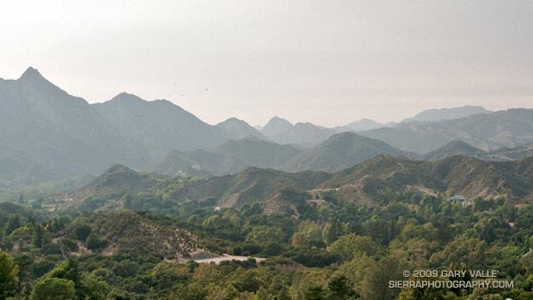
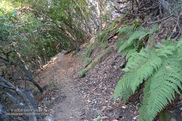
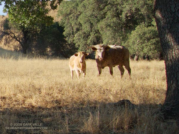
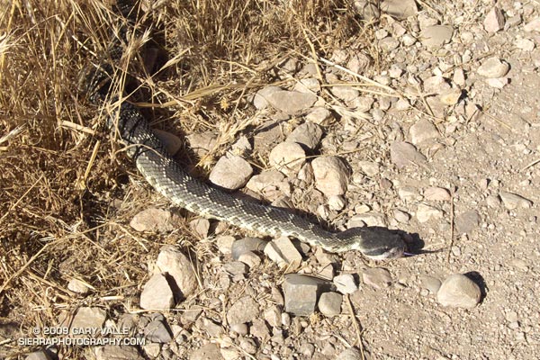
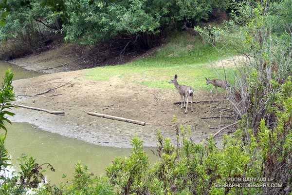
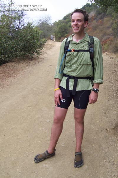
Running the Trippet Ranch Loop in Topanga State Park was a pleasant way to unwind after doing the Mt. Disappointment 50K last weekend. This 12.5 mile trail run from the End of Reseda is on a mix of fire roads and single track trail in chaparral and live oak woodland. I like to do the fire roads out to Trippet Ranch, and single track Musch and Garapito trails back. The elevation gain/loss on the loop is about 1800′.

Running up the hill to the Hub on the way out to Trippet Ranch we noticed some barefoot prints mixed in with the mountain bike and running shoe tracks. Based on the gait, the tracks were from a runner — and from the speed they worked up the hill, the runner was feeling pretty good.

At the Hub the bare feet continued on our route, down Eagle Springs fire road, and about 10 minutes later they ended — at a smiling runner wearing Vibram Five Fingers. Returning to running after a year and a half hiatus to start a family, Chris had recently read Christopher McDougall’s Born to Run, and been inspired to try barefoot running.

Here’s a Cesium browser View of a GPS trace of the Trippet Ranch loop from Marvin Braude Mulholland Gateway Park at the southern end of Reseda Blvd., in the San Fernando Valley.

Some related posts: Ferns Along the Garapito Trail, Musch Trail Mule Deer, Garapito Trail Green