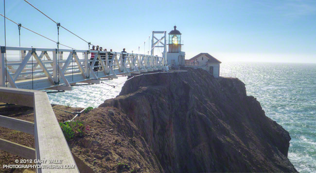
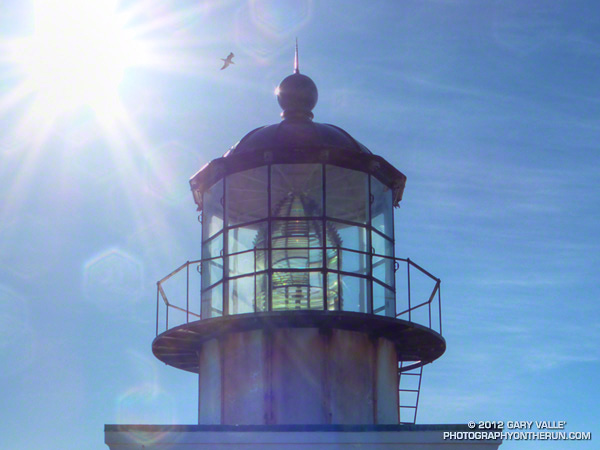
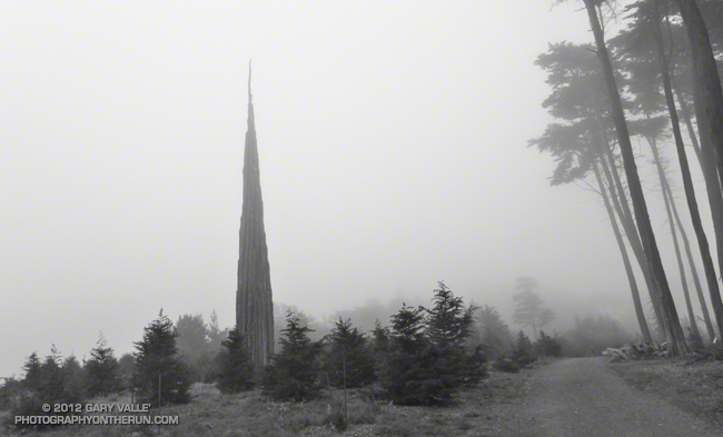
Last weekend we hiked to Point Bonita Lighthouse, an operational lighthouse perched on an eroded finger of land stretching out into the Pacific on the northwest corner of the Golden Gate.
About a mile round trip, the adventurous hike to the lighthouse includes steep cliffs, airy view points, a claustrophobic tunnel, suspension bridge and great views of the coastline and Golden Gate. The lighthouse was reopened to the public earlier this year, following the replacement of the bridge that spans crumbling cliffs to reach the exposed point.
The tunnel — about halfway to the lighthouse — is only open during visiting hours, currently Saturdays, Sundays and Mondays from 12:30 p.m. to 3:30 p.m. See the National Park Service web site and this NPS Point Bonita brochure (PDF) for additional information.
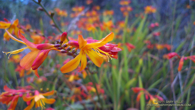
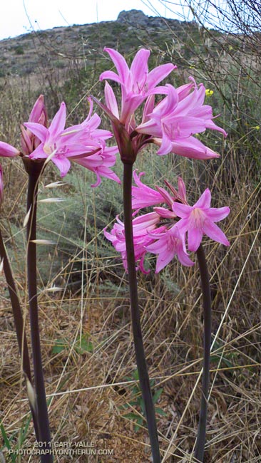
The two most showy wildflowers we saw on our run in the Marin Headlands last weekend were montbretia (above) and belladonna lily. Both are escapees from cultivation that originated from the Cape of South Africa.
Montbretia (Crocosmia x crocosmiiflora) is a garden hybrid developed in France in 1879 from two South African species. In California it is most commonly found along the coast from Santa Cruz County, northward. Belladonna lily (Amaryllis belladonna) is widely cultivated and has been reported in numerous California counties, primarily along the coast.