Twenty-Two Miles and Two Classic Climbs

The West Fork San Gabriel River at the Rincon-Edison road crossing.

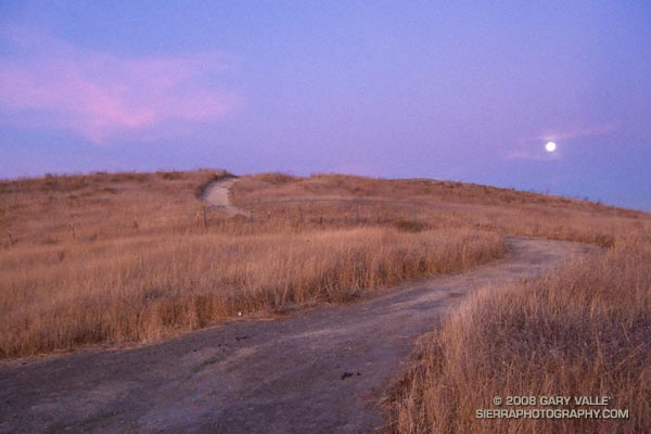
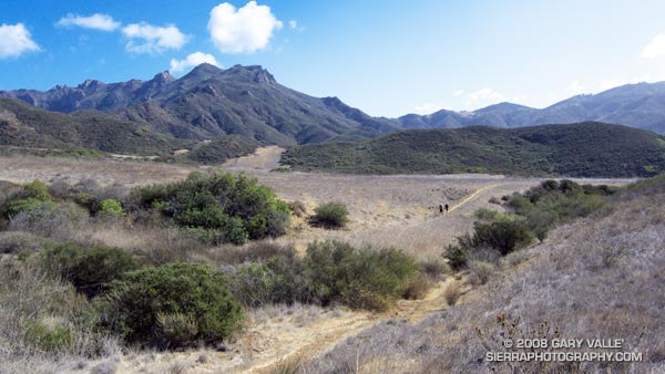
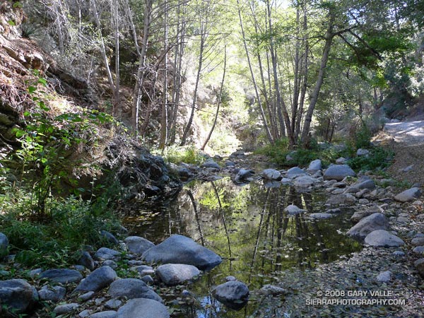
We stopped for a few moments at the river crossing, where water stood in pools waiting for Winter rain. Instead, cold air flowed down its course, cool and refreshing. From this point there would be little shade. Rarely cold, the climb out from the West Fork San Gabriel River to Shortcut Saddle is often warm, and sometimes debilitating.

Miklos, Krisztina and I were doing the Shortcut Saddle – Mt. Wilson loop — an approximately 22 mile loop that includes two memorable climbs from the Mt. Disappointment 50K and 50M runs. The loop also incorporates the Rim Trail, an adventurous trail that is rough, steep, and washed out at points, but also includes long stretches of excellent trail running. The route starts with almost four miles of downhill on the the Silver Moccasin Trail — a good warmup and a great way to start a trail running day.

Thankfully, today the weather was cool and the Fall shadows long. This translated to more running and a faster pace up Rincon-Edison road. Even so, we were happy to reach the point where the Silver Moccasin Trail shortcuts the last long switchback of the road, and followed this more direct route up to the trailhead.

Our variation of the climb from the W.F. San Gabriel River to Shortcut Saddle on the Rincon-Edison Road was about 5.6 miles long, with an elevation gain of about 1925 ft.  The climb from the W.F. San Gabriel River at West Fork campground up the Gabrielino and Kenyon DeVore trails to the Mt. Wilson parking lot worked out to about a 2550′ elevation gain in 5.2 miles. The total elevation gain for the loop is about 4500′.

Related posts: Angeles High Country, Mt. Disappointment 50K 2008 Notes

Fossil Trail – Pt. Mugu State Park

Shell impressions on the Fossil Trail in Pt. Mugu State Park.

The Fossil Trail is a steep, approximately mile-long trail in Pt. Mugu State Park that connects the Upper Sycamore Trail, near its junction with Sycamore Canyon Road, to the Old Boney Trail. The most obvious fossils are shell impressions and remnants found in an exposed layer of sandstone about a tenth of a mile below the Old Boney Trail junction. Some of the shell impressions are palm-sized and larger.

The shells appear to be a type of cockle (Anadara devincta) that is an indicator of Miocene-age formations. (See the Oregon Sea Grant publication “Fossils You Can Find on Oregon Beaches.“)  In this case, the fossil exposure appears to be in the Lower Topanga Formation, which is believed to have been formed in the middle to early Miocene, about 20 million years ago.

The shape, thickness and ribbing of this type of shell increases its strength and resistance to crushing — improving the shell’s chances of remaining intact when buried in sediment, and during subsequent geologic processes. This may be one of the reasons it is a prevalent indicator fossil.

The photograph is from Sunday’s run from Wendy Drive to Serrano Valley.

Serrano Valley from Wendy Drive

Descending to Serrano Valley in Pt. Mugu State Park

Scruffy clouds clung to the mountain ridges and summits, confirmation that a weak cold front was moving through the area, cooling temperatures and stirring up the wind. The forecast for the Santa Monica Mountains National Recreation Area had mentioned 25 to 35 mph winds with gusts to 60 mph. So far the weather in Pt. Mugu State Park had been nearly perfect — breezy and little chilly, but without the impenetrable winds that can take all the joy out of running.

Earlier we had climbed the Fossil Trail, a steep mile-long trail that connects the Upper Sycamore Trail, near its junction with Sycamore Canyon Road, to the Old Boney Trail. With only a few weeks remaining to the Solstice, shadows in the canyon were long and the light wintery. I thought we might have missed the fossils, but we happened on a nice exposure about a tenth of a mile below the Old Boney Trail junction.

About 5.5 miles later, we turned off the Old Boney Trail and descended to the rolling grasslands of Serrano Valley, another “must see” area of the Santa Monica Mountains.

Located on the east side of Big Sycamore Canyon, Serrano Valley is a more rugged counterpart to La Jolla Valley, just three miles to the west. Overseen by the castle-like summits of Boney Mountain, its vistas have a roughhewn edge, reminiscent of the most wild areas of the western U.S.

Here is a Google Earth image and Google Earth KMZ file of a GPS trace of our approximately 19 mile route to Serrano Valley and back to Wendy Drive.

Related posts: La Jolla Valley & Mugu Peak from Wendy Drive, Fossil Trail – Pt. Mugu State Park

Sesnon Fire Recovery – First Growth

Terminal budding in yerba santa 3 weeks after the 2008 Sesnon Fire.

Only three weeks after the area was burned in the 2008 Sesnon Fire, this yerba santa shrub on the Chumash Trail has started the process of foliage replacement. In many areas along the trail, grasses and other annuals (many invasive) were consumed, but adjacent chaparral shrubs were only scorched. Many of these shrubs look like they will be able to recover through budding of existing stems, rather than crown-sprouting.

Some related posts: Chumash Trail – Sesnon & Simi Fires, Rocky Peak After the Sesnon Fire

Photography and inspiration from running and other adventures in the Open Space and Wilderness areas of California, and beyond. No ads. All content, including photography, is Copyright © 2006-2024 Gary Valle. All Rights Reserved.