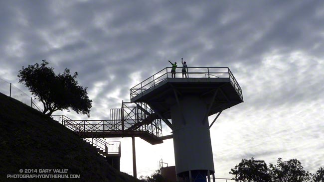
Frank and Lynn on the radar platform at San Vicente Mountain Park.
This was the easternmost point on a rambling run on dirt Mulholland.

Frank and Lynn on the radar platform at San Vicente Mountain Park.
This was the easternmost point on a rambling run on dirt Mulholland.