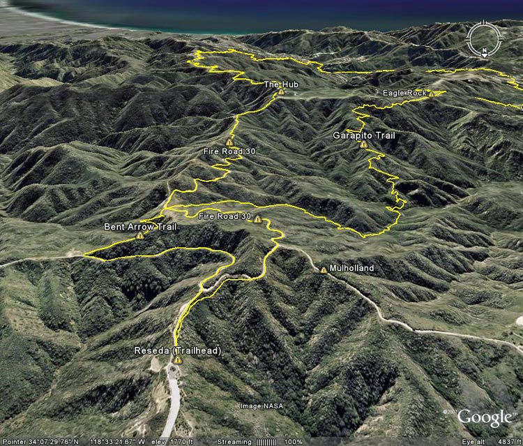
Google Earth image showing the route up to the Hub and the return route to Reseda Blvd. via the
 alt="Google Earth image showing the route up to the Hub and the return route to Reseda Blvd. via the Garapito and Bent Arrow Trails." border="0">
Google Earth image showing the route up to the Hub and the return route to Reseda Blvd. via the Garapito and Bent Arrow Trails.
Click on any of the following categories to see additional photography:
ABSTRACT - QUIRKY - LANDSCAPE - WILDLIFE - INSECTS - WILDFLOWERS - ADVENTURES
PHOTOGRAPHY
ON THE RUN
Copyright © 1995-2024 Gary Valle'. All Rights Reserved.
![]()