Category Archives: photography|landscape

Between Storms on the Backbone Trail

Fresh new leaves of poison oak hanging above the Backbone Trail

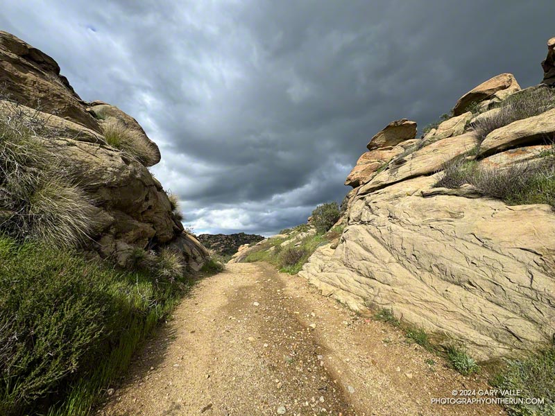
When one of the runners coming down the Rogers Road segment of the Backbone Trail saw me coming up the trail, he commented, “At least now we know the trail goes through!”

He was only half-joking. With all the wet weather, trails may not only be wet and muddy but might be flooded, severely eroded, blocked by trees and debris, or destroyed by runoff, mudslides, or slope failures.

Water droplets on bedstraw (aka cleavers) along the Backbone Trail

It had rained the previous two days, and more rain was forecast in a day or two. I was on this stretch of the Backbone Trail because I wanted to check out a use trail near High Point (Goat Peak) in the Santa Monica Mountains. I could do that by slightly modifying the route described in “Racing the Weather to High Point (Goat Peak) and Back.”

Two use trails connect to the High Point trail near High Point. Both are on the east side of the ridge. When traveling northbound from High Point, the first trail encountered is the “Rivas Ridge Trail.” Its junction with the High Point trail is on a hilltop, a bit more than a tenth of a mile north of High Point. The junction with the other trail — aptly named the “Great Escape” — is about a tenth of a mile north of the Rivas Ridge trail junction and a quarter-mile north of High Point.

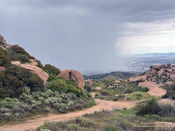
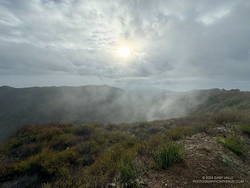
Marine layer clouds in the Los Angeles Basin
West L.A and advancing marine layer clouds in the Los Angeles Basin.

Instead of doing the run as a pure out and back, on the way back, I took the Great Escape down to the Backbone Trail. This short use trail connects to the Backbone Trail about 0.4 mile south of “The Oak Tree.” It was an interesting trail to explore and only added about a third of a mile to the regular out-and-back route.

To show this variation, I’ve updated the interactive, 3D terrain view of the High Point (Goat Peak) Out and Back from the Top of Reseda.

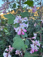
Fuchsia-flowered gooseberry along the Backbone Trail

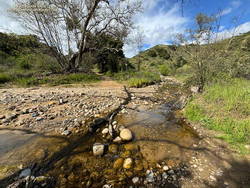
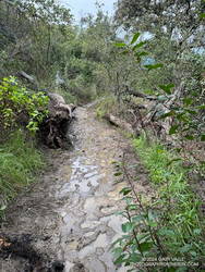
The condition of the Backbone Trail between Fire Road #30 and The Oak Tree was about what you would expect during such an active rain season. There were a few slimy, slippery spots and some eroded stretches of trail. My shoes and socks were already soaked from the wet grass along the trail by the time I reached The Mud Puddle. This was good because I didn’t waste any time looking for a way around the flooded section of trail — I just waded right in. Nearby, a short section of trail had collapsed in a slide, but there was enough of a shoulder to easily go around it.

With the wet rain season, everything is growing like crazy. This includes poison oak, which was already dangling into the trail in several places. More wildflowers were beginning to bloom. This scarlet-red Fuchsia-flowered gooseberry was blooming along the Backbone Trail near its junction with the High Point Trail.

Some related posts: Racing the Weather to High Point (Goat Peak) and Back, High Point (Goat Peak) Via the Rivas Ridge Use Trail, Goat Peak and the High Point Trail

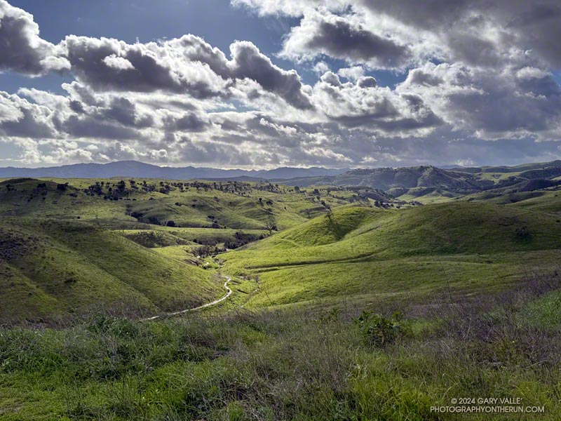
Snow-Covered San Gabriel Mountains From Lasky Mesa

Snow-covered San Gabriel Mountains from Lasky Mesa in Upper Las Virgenes Canyon Open Space Preserve (Ahmanson Ranch)

It had rained another inch overnight, and my shoes were soaked from the wet grass along the trail. Seeking some relief from the 20 mph northwest wind, I descended a single-track trail to an old paved road east of the ranch house on Lasky Mesa.

Motivated more by staying out of the wind than anything else, I did two sets of hill repeats on different sections of the road. Then, on tired legs, I jogged up to Lasky Mesa and was greeted by an Arctic blast. The temperature had dropped to the mid-40s, and the wind was blowing a steady 20 mph, gusting to around 30 mph. I didn’t need a wind chill chart to tell me the effective temperature was in the 30s.

I was so focused on dealing with the cold I wasn’t paying much attention to my surroundings. Deciding to do one more hill, I rounded a corner, and the brilliantly sunlit, snow-covered San Gabriel Mountains came into full view. It was just jaw-dropping!

Here is a wider view of most of the Front Range of the San Gabriels, white with snow.

Some related posts: Chasing Rainbows at Ahmanson Ranch, Looking for Snow on Topanga Lookout and Saddle Peak

Eagle Rock Silhouette

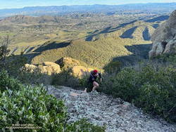
Silhouetted hikers on Eagle Rock in the Santa Monica Mountains

The photograph of Eagle Rock is from this morning’s meandering trail run to Temescal Peak, Temescal Lookout, Eagle Rock, and the Garapito Trail in Topanga State Park.

All of these viewpoints have sweeping views of the Santa Monica Mountains, Los Angeles Basin, and surrounding mountains.

Temescal Lookout (Peak 2036) is the site of a bygone fire lookout station. It’s located just west of Temescal Ridge Fire Road, about a mile south of the Backbone Trail junction and a half-mile north of the Trailer Canyon Fire Road junction. It’s shown on the USGS Calabasas topo map from 1944. Vestiges of the lookout are all that remain.

Some related posts: Downtown Los Angeles and San Jacinto Peak; Trippet Ranch Loop Plus Temescal Peak; Eagle Rock – Topanga State Park; Will Rogers – Rivas Canyon – Temescal Canyon Trail Run

Toyon Berries Everywhere

Toyon berries along the Backbone Trail

Last November and December there were almost no Toyon bushes in the Santa Monica Mountains with berries. This year the colorful orange-red “Christmas berries” are everywhere.

The heavily-laden bush pictured above (and many others) were along the Rogers Road segment of the Backbone Trail, between Will Rogers State Park and Temescal Ridge Fire Road.

Related post: Looking For Christmas Berries

Red Rock Canyon – Hondo Canyon – Saddle Peak Loop (3D Terrain Map)

Red Rock Canyon, near Topanga, California.

It was clear and cool when I started up Calabasas Peak fire road from the trailhead on Stunt Road.

Several good trail runs and hikes start here; among them are out and backs to Calabasas Peak and Saddle Peak and an adventurous loop up Topanga Lookout Ridge to Topanga Lookout and Saddle Peak. This morning’s trail run was also going to be a loop, and it was a loop that I hadn’t done before.

Two-thirds of a mile of uphill on the dirt road brought me to a bench and the top of Red Rock Canyon. This is also where the use trail up Topanga Lookout Ridge begins. This time, instead of starting up the ridge, I turned right onto the fire road and began the winding descent into Red Rock Canyon.

Sandstone rock formation in Red Rock Canyon.

In the canyon, there are Sespe Formation sandstone rock outcrops with a variety of intriguing shapes and colors. About a mile from Calabasas Peak Mtwy is the parking area for Red Rock Canyon Park. From here, the road continues a little less than a mile to Old Topanga Canyon Road.

Running 1.5 miles on a narrow canyon road with little or no shoulder can be hazardous to your health. Doing the run early on a Sunday morning helped. There were about the same number of cyclists as cars, and there weren’t that many of either. The diciest part was a section of road with no shoulder on a blind curve. I was glad to get past that and to the Hondo Canyon Trailhead.

Hondo Canyon from the Backbone Trail in the Santa Monica Mountains.
Hondo Canyon from the Backbone Trail

Hondo Canyon is one of the many memorable sections of the Backbone Trail. From Old Topanga, the trail climbs through oaks, grassland, chaparral, and California bay for about four miles to the Fossil Ridge Trail. The trail hides the 1600′ elevation gain well, and long sections of the trail are runnable.

Just below Saddle Peak Road, the Backbone Trail turns right and follows along Fossil Ridge three-quarters of a mile to the service road used to access Topanga Lookout. A left turn leads to the intersection of Saddle Peak Road, Schueren Road, and Stunt Road at the Lois Ewen Scenic Overlook.

The antennae-festooned west summit of Saddle Peak in the Santa Monica Mountains
Antennae-festooned west summit of Saddle Peak.

The remainder of the loop follows the same route as the Topanga Lookout Ridge – Saddle Peak loop. Initially, it follows the Backbone Trail west, past a large water tank to a spur trail that goes to the twin summits of Saddle Peak. The West summit, with all the electronics, is slightly higher, but is now closed. The flat East summit is about a quarter-mile from the Backbone Trail.

Returning to The Backbone Trail and continuing west, it’s about 1.25 miles down to the Stunt High Trail junction. From there, it’s another 2.6 miles on the Stunt High Trail down to the Calabasas Peak/Stunt High trailhead and the end of the 14.3 mile loop.

Here is an interactive, 3D terrain view of the Red Rock Canyon – Hondo Canyon – Saddle Peak loop. The Topanga Lookout Ridge route is also shown. The map can be zoomed, tilted, rotated, and panned using the navigation control on the right. Track and placename locations are approximate and subject to errors. Poor weather and other conditions may make this route unsuitable for this activity.

Some related posts: Red Rock Canyon from the Red Rock Trail; July Fourth Trail Run to Trippet Ranch, Hondo Canyon and Saddle Peak; Topanga Lookout Loop, Plus Saddle Peak