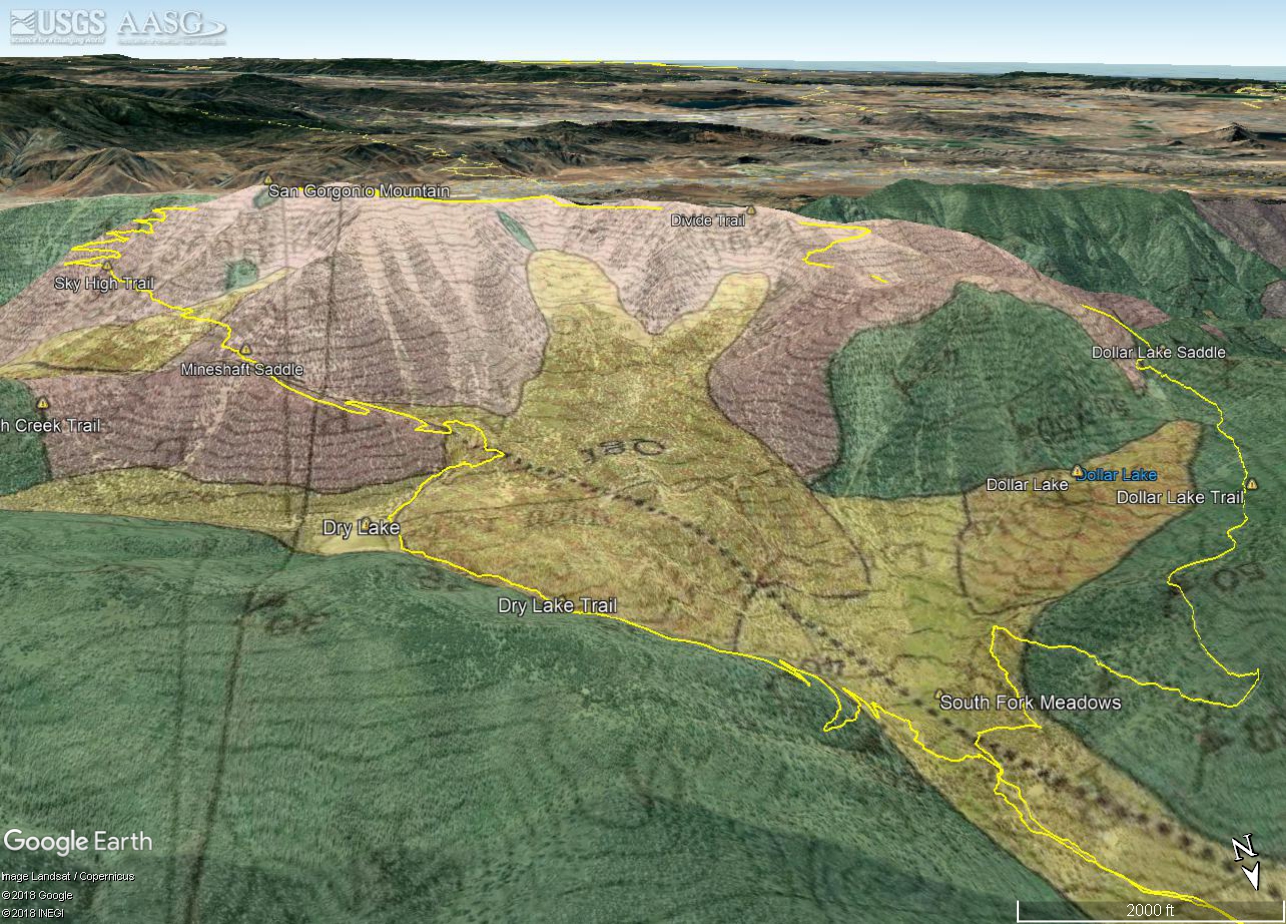
Google Earth image of Dibblee San Gorgonio Mountain Geologic Map with my GPS track added.
 alt="Google Earth image of Dibblee San Gorgonio Mountain Geologic Map with my GPS track added. Areas of glacial till are buff-colored and labeled Qgt. The Big Draw, in the center of the image, held the largest glacier." border="0">
Google Earth image of Dibblee San Gorgonio Mountain Geologic Map with my GPS track added. Areas of glacial till are buff-colored and labeled Qgt. The Big Draw, in the center of the image, held the largest glacier.
Click this link to read more about this photograph.
Click on any of the following categories to see additional photography:
ABSTRACT - QUIRKY - LANDSCAPE - WILDLIFE - INSECTS - WILDFLOWERS - ADVENTURES
PHOTOGRAPHY
ON THE RUN
Copyright © 1995-2025 Gary Valle'. All Rights Reserved.
![]()