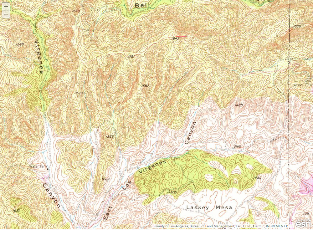
A section of the traditional USGS 7.5 minute Calabasas topo showing peak 1842
 alt="A section of the traditional USGS 7.5 minute Calabasas topo showing peak 1842, the highest point on the Ahmanson Ranch property. The map was obtained from the USGS Historical Topographic Map Explorer." border="0">
A section of the traditional USGS 7.5 minute Calabasas topo showing peak 1842, the highest point on the Ahmanson Ranch property. The map was obtained from the USGS Historical Topographic Map Explorer.
Click this link to read more about this photograph.
Click on any of the following categories to see additional photography:
ABSTRACT - QUIRKY - LANDSCAPE - WILDLIFE - INSECTS - WILDFLOWERS - ADVENTURES
PHOTOGRAPHY
ON THE RUN
Copyright © 1995-2025 Gary Valle'. All Rights Reserved.
![]()