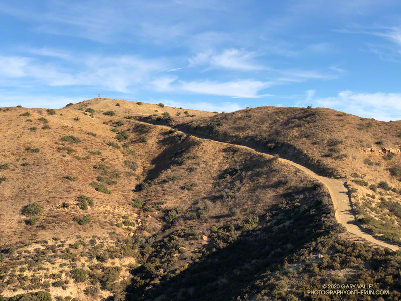
The Upper Las Virgenes Canyon Trail climbs steeply to windmill hill
 alt="This stretch of the Upper Las Virgenes Canyon Trail, south of Albertson Mtwy., climbs steeply to windmill hill. The hill is labeled with an elevation of 2124' on the 1967 Calabasas topo map." border="0">
This stretch of the Upper Las Virgenes Canyon Trail, south of Albertson Mtwy., climbs steeply to windmill hill. The hill is labeled with an elevation of 2124' on the 1967 Calabasas topo map.
Click this link to read more about this photograph.
Click on any of the following categories to see additional photography:
ABSTRACT - QUIRKY - LANDSCAPE - WILDLIFE - INSECTS - WILDFLOWERS - ADVENTURES
PHOTOGRAPHY
ON THE RUN
Copyright © 1995-2025 Gary Valle'. All Rights Reserved.
![]()