Radar image of a multi-celled thunderstorm west of Mt. Lukens and other activity in the area.
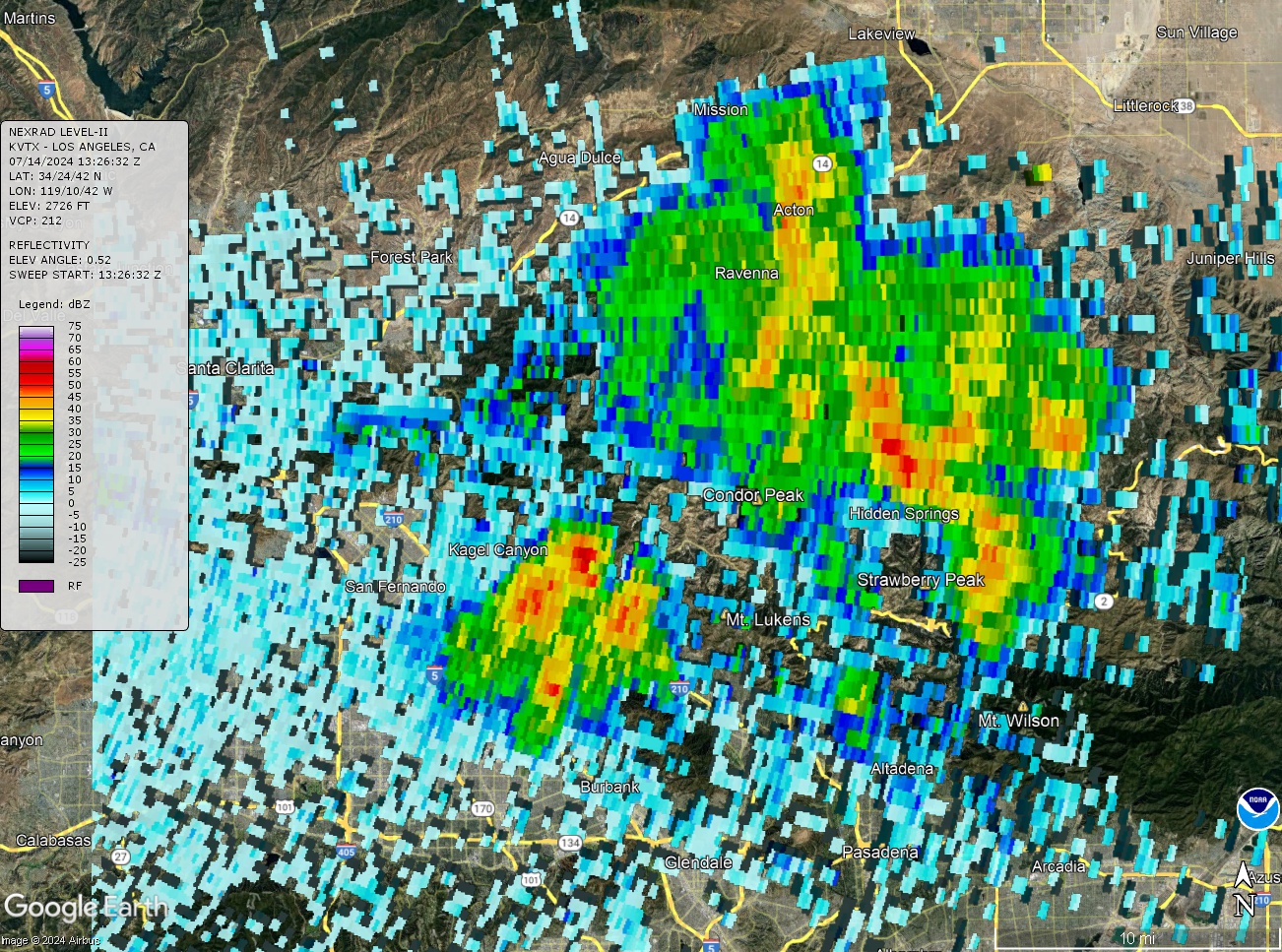 alt="NOAA/NWS NEXRAD LEVEL II KVTX radar image for July 14, 2024 at 6:26:32 a.m. PDT. It shows the multi-celled thunderstorm west of Mt. Lukens, aswell as the thunderstorms that swept through the San Gabriel Mountains between Mt. Lukens and Mt. Wilson." border="0">
NOAA/NWS NEXRAD LEVEL II KVTX radar image for July 14, 2024 at 6:26:32 a.m. PDT. It shows the multi-celled thunderstorm west of Mt. Lukens, aswell as the thunderstorms that swept through the San Gabriel Mountains between Mt. Lukens and Mt. Wilson.
Click this link to read more about this photograph.
Click on any of the following categories to see additional photography:
ABSTRACT - QUIRKY - LANDSCAPE - WILDLIFE - INSECTS - WILDFLOWERS - ADVENTURES
PHOTOGRAPHY
ON THE RUN
Copyright © 1995-2025 Gary Valle'. All Rights Reserved.
![]()