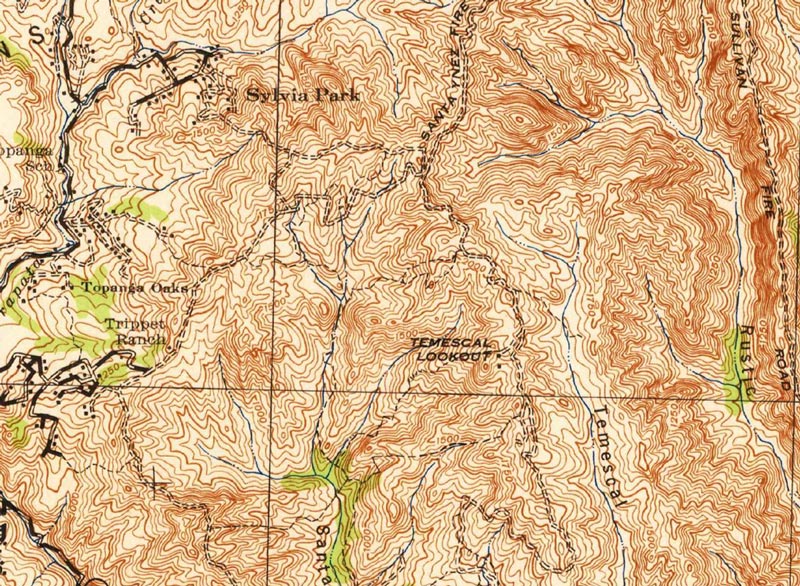
A section of a USGS 1944 topo map showing the location of the Temescal Fire Lookout
 alt="A section of the USGS 1944 Calabasas topographic map showing the location of the Temescal Fire Lookout." border="0">
A section of the USGS 1944 Calabasas topographic map showing the location of the Temescal Fire Lookout.
Click this link to read more about this photograph.
Click on any of the following categories to see additional photography:
ABSTRACT - QUIRKY - LANDSCAPE - WILDLIFE - INSECTS - WILDFLOWERS - ADVENTURES
PHOTOGRAPHY
ON THE RUN
Copyright © 1995-2025 Gary Valle'. All Rights Reserved.
![]()