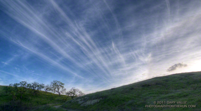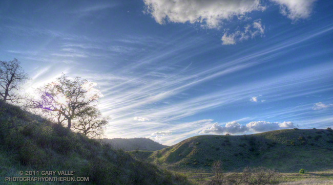
The long streaks in the photograph above are cirrus clouds embedded in a 125 kt jet stream that was positioned over Southern California Thursday afternoon.

The jet stream was at an altitude of about 30,000 ft. and associated with an upper level low pressure trough off the coast. This trough is the source of the disturbances that are resulting in our latest bout of wet weather.
The jet stream is a key feature of the earth’s atmospheric circulation, and plays an important role in both weather and climate.
For more about jet stream cirrus see A Composite and Microphysical Study of Jet Stream Cirrus Over the ARM Site.
The photographs are from a trail run on Thursday.
