In recent weeks it seems just about every weekend the mountains have had postcard running weather.
Today’s run was on a higher elevation section of the Pacific Crest Trail and Angeles Crest 100 course. To shorten the shuttle, but still enjoy the great views up on Blue Ridge, we parked at Inspiration Point and started the day with a six mile (round trip) out and back run to near Blue Ridge Campground.
After the out and back run and a quick stop at the car, we continued west on the northbound PCT to Vincent Gap, then up to the summit of Mt. Baden-Powell, down to Islip Saddle, up and over the shoulder of Mt. Williamson and then down to Eagles Roost.
PCTA volunteer Ray Drasher has been hard at work again, clearing fallen trees from the trail on Blue Ridge, Lytle Ridge and between Mt. Hawkins and Islip Saddle; and PCTA trail maintenance sage Pete Fish and another volunteer took care of the two trees on the west side of Williamson. Thanks!
During the run the following question came up — What is the highest elevation reached by the PCT in Southern California? It had to be either on San Jacinto Peak or Mt. Baden-Powell. I knew the high point of the PCT on Baden-Powell was around 9200′, but couldn’t recall the max elevation of the PCT on San Jacinto. We asked a through-hiker and he said about 9000′.
When I got home I checked the elevations using USGS National Map 1/3 arc second digital elevation model data. According to this data the high point of the PCT in Southern California is 9230′, at the junction of the PCT and Mt. Baden-Powell summit trail. The max elevation of the PCT on San Jacinto Peak is 9045′, near the junction of the PCT and Wellman Divide Trail.
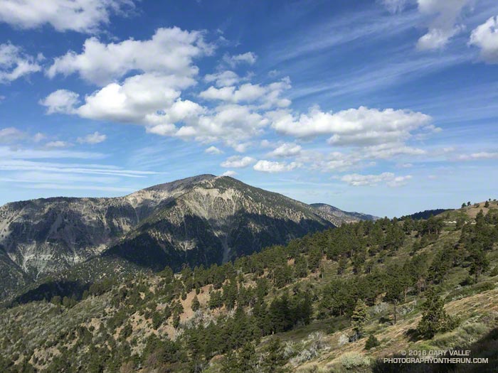
The title photo is Mt. Baden-Powell from the PCT east of Inspiration Point.
