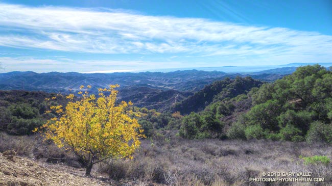
With each stride I coasted a little further down the 10 mile long hill. If not effortless, running down Sulfur Mountain Road was about as easy as trail running gets. Just click on the cruise control and enjoy the great views and the superb Southern California sunshine.
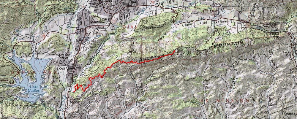
Sulfur Mountain is an east-west oriented, approximately 13 mile long ridgeline on the south side of the Ojai Valley that extends from Hwy 150 on the east to Hwy 33 on the west. Geologically it is a large anticline created by a fault-propagated fold.
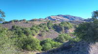
The mountain figured prominently in the industrial development of the Ojai Valley, its oil seeps spurring petroleum exploration and extraction operations in the mid 1800s.
Sulfur Mountain Road traverses nearly the entire length of Sulfur Mountain and about half of the road is designated as the Sulfur Mountain Road Recreation Trail. The eastern trailhead of the recreation trail is at about the midpoint of the elongated peak. This is where I started this morning’s out and back run.
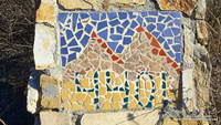
The eastern trailhead is at about 2600′ and over 10.2 miles the mostly dirt road descends to the western trailhead at about 400′. Including a couple of the short ups on the descent, the total elevation loss turned out to be about 2500′.
Of course 2500′ of descent means 2500′ of gain on the return, but I hadn’t looked at these details prior to run. I wasn’t sure what the run back up was going to be like, but was pleasantly surprised. The road was very runnable and I was able to maintain a reasonable pace for most of the 10 mile climb.
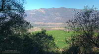
As advertised, the views of the Channel Islands, Ojai Valley and surrounding mountains were spectacular.
This particular day there were a number of mountain-bikers, a few hikers, but no runners. Parking at the eastern trailhead is very limited, so most opt to do the out and back from the western trailhead near Hwy 33.
If you’re looking for a fast-paced, non-technical 20+ mile run with moderate elevation gain, the out and back on Sulfur Mountain should do the trick.

