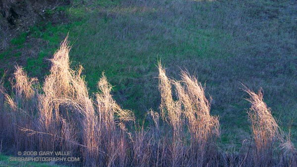
From a run at Ahmanson Ranch — now Upper Las Virgenes Canyon Open Space Preserve.

From a run at Ahmanson Ranch — now Upper Las Virgenes Canyon Open Space Preserve.
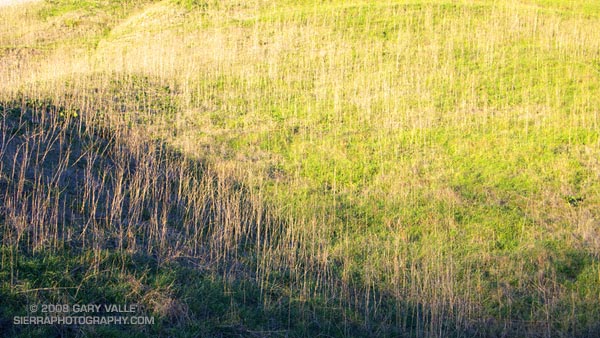
From a run at Ahmanson Ranch — now Upper Las Virgenes Canyon Open Space Preserve.
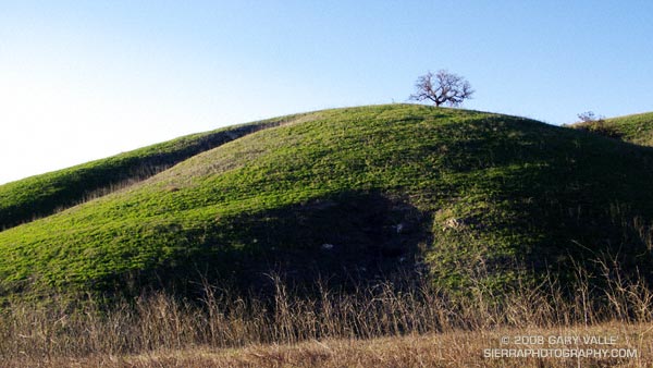
It’s about time — all the rain in Southern California is finally turning our hills green! Last year the hills of East Las Virgenes Canyon were sun bleached and rain starved.
According to preliminary NWS data, Downtown Los Angeles (USC) recorded measurable rain on each day from January 21 to January 28, 2008. Based on this NWS ranking for 1921-2006, this puts this eight day period in the top six of the station’s wettest streaks from 1921-2007.
So far this water year Downtown Los Angeles has recorded 11.73 inches of rain, which is 4.77 inches above normal. Last year on this date Los Angeles had recorded only 1.5 inches of rain. Even if Los Angeles were to receive no rain through the entire month of February (not likely), we would still go into the month of March ahead of normal.
The photograph is from a muddy run at Ahmanson Ranch — now Upper Las Virgenes Canyon Open Space Preserve.
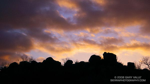
Silhouetted rock formation at sunset in Dayton Canyon in the Simi Hills.
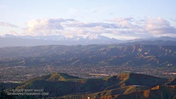
Simi Valley, with the snowy mountains of Los Padres National Forest beyond.
From a run at Sage Ranch Park.
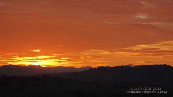
The pyramidal peak on the skyline on the right is Sandstone Peak (3111′), the highest point in the Santa Monica Mountains.
From a run on Lasky Mesa in Upper Las Virgenes Canyon Open Space Preserve — formerly Ahmanson Ranch. January 9, 2008.
Related post: Balance Rock