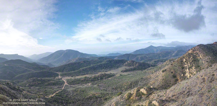
Cheeseboro Canyon is the prominent canyon on the left of the photo. The dirt road is the Cheeseboro Ridge Trail — a power line service road. The Sheep Corral Trail follows the flat-ish terrain in the little valley. It links the Cheeseboro Ridge Trail to the top of the Cheeseboro Canyon Trail about a quarter-mile to the west (right) at Shepherds’ Flat.
There are innumerable trail runs, hikes and rides that pass through here. Here’s a NPS map of the Cheeseboro/Palo Comado area trails (PDF). On this cool, mid-January day I was doing the Upper Las Virgenes Canyon – Cheeseboro Ridge Loop.
Some related posts: Upper Las Virgenes Canyon Backcountry, Upper Las Virgenes Canyon – Cheeseboro Ridge Loop, Scenic Route to Simi Peak
