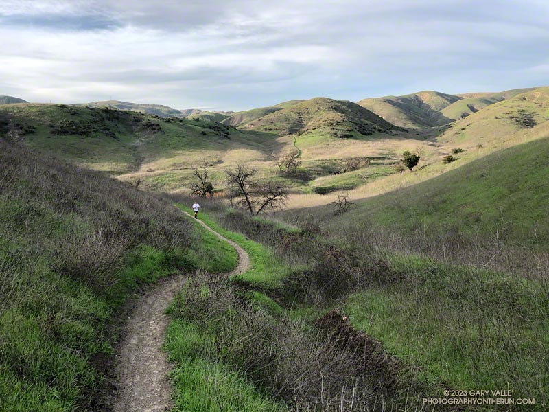
The direct out and back trail run from the Victory Trailhead at Ahmanson Ranch through East Las Virgenes Canyon to the Upper Las Virgenes Canyon Trailhead is about 3 miles each way.
This variation bypasses most of East Las Virgenes Canyon. It climbs up to Lasky Mesa and then descends “The Beast” to East Las Virgenes Canyon about 0.4 mile before it joins the fire road in Upper Las Virgenes Canyon. This fire road can be followed south to the Upper Las Virgenes Canyon Trailhead, the turnaround point.
Depending on the exact route, the trail run totals about 7.5 miles, with about 825 feet of cumulative elevation gain. The Beast is the longest continuous hill and is about 0.8 mile in length.
Here is an interactive, 3D terrain view of my out and back trail run from the Victory Trailhead at Ahmanson Ranch to the Las Virgenes Trailhead via Lasky Mesa. The direct route through East Las Virgenes Canyon is also shown. The map can be zoomed, tilted, rotated, and panned using the navigation control on the right. Track and placename locations are approximate and subject to errors. Poor weather and other conditions may make this route unsuitable for this activity.
When it rains a lot, sections of East Las Virgenes Canyon can get really muddy. This route avoids the worst of the gooey, stick-on-your-shoes mud.
Update January 17, 2023. With the additional rainfall this January the “best” route up to Lasky Mesa is on the dirt road. The single track is wet and muddy in spots. The lower half of the Beast is eroded and somewhat muddy. I have a pair of shoes that I use in the muck and wet. They haven’t dried out for weeks.
Some related posts: It was So Muddy That…, It Was So Muddy (Again) That…, When It Used to Rain in Southern California
