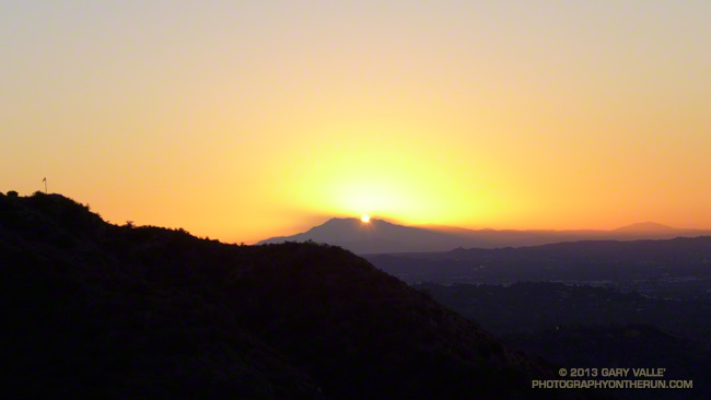
As I worked up the Mt. Wilson Trail the first flare of sunlight gleamed from behind Mt. San Jacinto. The entire mountain was backlit by the sun, an aura of sunbeams radiating from its ridges. It was about 7:15 and along with a few other hikers and runners, I was chugging up the well-used trail from its Mira Monte Avenue trailhead.
Other than going to the top of Mt. Wilson, I had no specific plan in mind. I’d see how I felt on top and then decide whether to run back down the Mt. Wilson Trail or do something longer.
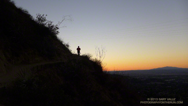
The run/hike to the top is a little over 7 miles one way with an elevation gain of about 4700′. It’s a spectacular trail that works up rugged Little Santa Anita Canyon to historic Orchard Camp (about mile 3.5), and then climbs up to Manzanita Ridge and the Winter Creek Trail junction (about mile 5.4). Around mile 6 the trail joins the Mt. Wilson Toll Road for about a half-mile, then forks from it on the right, leading in another half-mile to the main parking lot at Skyline Park.
In addition to the original Mt. Wilson Trail there are four other trails that start/end at the top of Mt. Wilson: the Kenyon Devore Trail, Rim Trail, Sturtevant Trail and the Mt. Wilson Toll Road. Using these trails and interconnecting trails and roads a multitude of Mt. Wilson runs and hikes are possible.
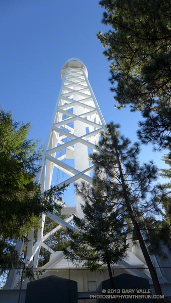
At around 9:30 I topped out at the Skyline parking lot and while filling my Camelbak at a water faucet pondered some options. I could just retrace my steps and run back down the Mt. Wilson Trail. That would be the simplest and would be nearly all downhill. Tempting. But the weather was Autumn perfect and the visibility at least 100 miles. It was early and there was plenty of time to do a longer outing.
I’d been toying with the idea of descending the Sturtevant Trail to the Mt. Zion Trail, taking that trail to Hoegees Camp, and then ascending the Winter Creek Trail back up to the Mt. Wilson Trail at Manzanita Ridge. Variations of this loop are popular and most often done from Chantry Flats.
I didn’t know what it would be like to do the loop from the Mt. Wilson Trail, but I had a pretty good idea. On the way up Wilson I’d peered down, down, down into the canyon ascended by the Winter Creek Trail. It looked like the climb out would add another couple thousand feet to an already stout tally.
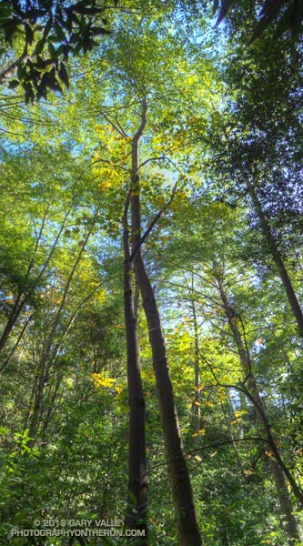
And it did! Overall the trails were in great shape and there were many miles of superb running. Near Sturtevant Camp at the Mt. Zion Trail junction (about mile 10.3) and continuing above Spruce Grove on the Mt. Zion Trail the forests of bigcone Douglas-fir, oak, alder and bay were so dense and shady I had to check if my sunglasses were still on.
The difficulty of the ascent of the Winter Creek Trail from Hoegees Camp (about mile 13) on tired legs was offset by the beauty of the canyon. At the top of the Winter Creek Trail, I jumped onto the Manzanita Ridge Trail, so that added a little extra gain. I was happy to finally see the bench at the Mt. Wilson Trail & Manzanita Ridge junction (about mile 15.4).
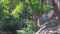
Although there are several places that a fall could “ruin your whole day,” the run down on the Mt. Wilson Trail is one of my favorite descents in Southern California. It’s generally not super steep and there are long stretches of relatively straightforward trail.
The run worked out to 20+ miles with an elevation gain/loss of about 7200′. Although a bit strenuous, it visited some of the most scenic areas found on Mt. Wilson.
