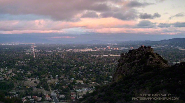
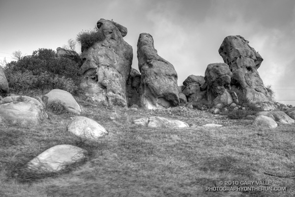
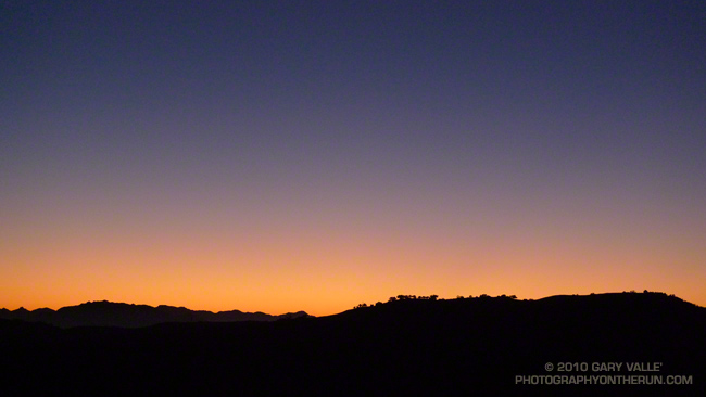
The temperature was in the low fifties, but with a 20 mph wind it was cold. I had just run up the Chumash trail, and was on my way down. The sun was nearing the horizon and hidden by a band of clouds. It had been like that since I topped out at Rocky Peak road. I hoped by the time I reached a vantage point of Chumash Rocks the setting sun would break underneath the clouds and illuminate the formation.
Nope. When I reached the viewpoint, the rocks were still in shadow. And the wind was even stronger. Squeezed between two hills, it rushed through the little col in cold, turbulent gusts. Buffeted by the wind, and chilled to the bone, I waited for the sun.
And waited. It was too cold to just stand there. I took a few photos, but the sun and clouds were not cooperating. At some point, minutes away, the sun would set, and that would be that. The photo just wasn’t going to happen. I returned to the trail and began to run down the hill.
In the lee of the hills the wind lessened, and it was not so cold. It was still a few minutes before sunset, and as I rounded a corner I could see a bright glow at the edge of the clouds.
I was several hundred yards down the trail when the first hint of sunlight appeared on a distant hill. It was veiled and muted, but it was sun. Maybe there was time. I turned and hurried back up the trail.
On their way from points north, to points south, Kevin and Janet stopped by for a visit today. Kevin was hoping to get in a ride before dinner, and I wanted to get in a run. Where could Kevin ride his Hampsten Strada Bianca Titanio, and I could run, and we might talk from time to time?
The Hampsten web site describes the Strada Bianca as, “Fast on smooth pavement but relaxed-yet-tough when the road turns to trail, cobbles, gravel, or dirt.” Hmmm, this is the bike Kevin rode from Seattle to San Diego — it has skinny tires and fenders. Do they really mean trails? Kevin was game, so we headed out to Ahmanson.
Even with 29mm tires, the bike (and the rider) handled the varying terrain and surfaces well. We did a mix of dirt road and single track, some of it fairly steep. All but a few feet were ridable.
Kevin’s bike is setup with a road triple crankset, 50-39-26, and 27-12 cassette. The tires are Challenge Parigi-Robaix 700c clinchers, nominally 27mm, but more like 29mm as mounted. For wet weather riding it has hammered Honjo fenders.
I wasn’t familiar with the routes on Ladyface, and wasn’t certain I could get to the peak directly from the Heartbreak Ridge trail. But that’s part of the fun of an adventure run. I had a general idea of what I wanted to do — an out and back from the Phantom trailhead in Malibu Creek State Park to the top of Ladyface. And I had an idea of the time available to do it — about four hours. The details would sort themselves out along the way.
Or at least that was the theory. It was now three in the afternoon, and I was one hour and 56 minutes into sorting out those details. Theoretically, I was supposed to be on the summit of Ladyface in about four minutes.
Earlier, I had run out of trail descending Heartbreak Ridge, and had used a network of coyote paths to get down to Cornell & Kanan roads. But then I chosen the wrong “trail” to start the climb of the peak.
For sure the route would follow one of the prominent ridges on the east side of the mountain. Since the descent of Heartbreak Ridge left me on the northeast side of the peak I had looked for a route there. One car was parked at the start of a dirt road, and a street vendor had indicated he’d seen people start the climb there. My thought was that maybe an established trail would work up the canyon and onto the northeast ridge.
Wrong Charlie Brown! The trail, which (ha!) turned out to be a freeride course, was a dead end. Following it burned about 10 minutes and a good chunk of elevation gain. I ran down and jumped up onto the northeast ridge, where I found a use trail.
Low on the ridge it looked like this trail might go to a subsidiary peak and not the true summit of Ladyface. Whatever it did, I was now short on time, and committed to this approach. I would follow it until either I ran out of time, or reached a summit.
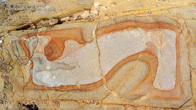
The face was deep in shadow and wet from Friday night’s rain. Still a couple hundred vertical feet below its top, I zig-zagged up through the steep outcrops of Conejo volcanic rock. It wasn’t how I had pictured the trail on Ladyface, and I hadn’t expected to be climbing on wet, mossy holds for the second weekend in a row.
Two hours and 3 minutes into the adventure I scrambled onto the summit. A surprised hiker asked, “Where did you come from?” I explained, and he commented, “I’ve never climbed Ladyface that way.”
I jogged down the well-used, but somewhat manky trail on the east/southeast ridge, followed Kanan back to Cornell Rd., climbed back up Heartbreak Ridge, and made it back to the car a couple of minutes after five o’clock.
The face was not steep, but I was glad the pockmarked volcanic rock had big holds. Rainwater filled some of the pockets, and patches of lichen and moss on the face were saturated and slippery. It wasn’t a runout climb at the Needles or Tuolumne Meadows, but gravity still worked the same way. I reminded myself not to do something “stoopid.”
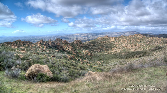
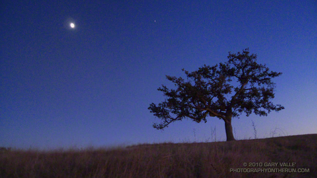
At the top of the face I looked around and sighed, and then looked around and sighed again. It was another stunning morning on the western ridge of Boney Mountain. To the west a nearly full moon struggled to remain above the hills, its brightness veiled in a mix of clouds. Another storm was expected in the evening, and the sky told of its approach. Broad strokes of cirrus brushed the blue above, and here and there fingers of tattered stratus reached into the coastal canyons and clung to the wet hillsides.
Today’s forecast for the Santa Monica National Recreation Area had called for mostly cloudy skies, and a high in the 60s. At the moment it was mostly sunny, but already there were hints of clouds developing on the ridges and mountaintops. At some point in the day the clouds would envelop the mountains, and transform the morning’s expansive vistas into a dimensionless gray. I hoped to get up the ridge, over Tri-Peaks, and to Sandstone Peak before that happened.
By chance the clouds behaved, and the splendid views and weather continued all the way to Sandstone Peak, and beyond. The run back to the Wendy Drive trailhead on the Backbone, Sycamore Canyon, and Upper Sycamore trails could not have been better.
As I climbed the final little hill to the parking area I noticed I had no shadow. Over the course of the afternoon the cloud deck would continue to lower and thicken, and by evening light rain would begin across the area.