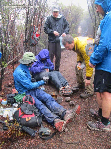
No big deal, so the temp was in the low 40s and it was a little windy… and rainy… and my work gloves were sopping wet… Yes, Victoria did say she hadn’t been this cold since leaving Russia, but how bad could it be — Mike and Jeanne were wearing SHORTS. I quietly whimpered and lopped off another limb of encroaching chamise. If I kept lopping maybe no one would notice how much I was shivering.
Logistically, the Chamberlain Trail segment of the Backbone Trail is one of the more challenging trails in the Santa Monica Mountains to maintain. It’s difficult to get all the tools and people to the trail and out again and still have time to do a few hours of work.
Coordinating with the Santa Monica Mountains Trails Council, Howard Cohen, RD of the Coyote Backbone Trail Ultra, rounded up a bunch of trusting folk that will do just about anything if running in the mountains is involved.
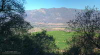
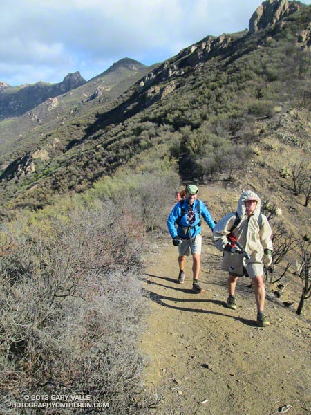
Starting at the Wendy Drive trailhead runners hoofed it over Boney Mountain to the top of the Chamberlain Trail — about a two hour run/hike — then lopped, and sawed and cleared their way down the trail until told to stop. Then they ran back to their cars.
If the smiles (of relief?) at the end of the day were any indication, good, clean fun was had by all — even if it was a little damp and chilly.
Here are a few additional photos from the adventure. Click for a larger version of the photo.
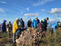
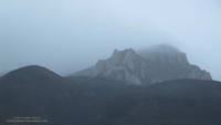 Boney Mountain |
 Front Moving In |
Soups On |
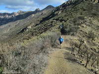
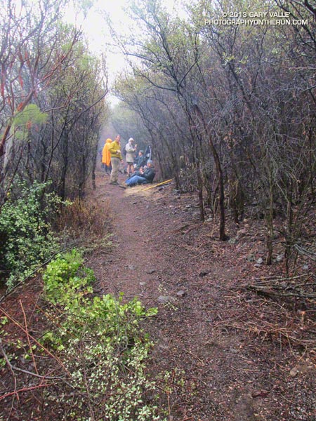 Chamberlain Trail |
 Wrapping It Up |
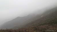
Clearing Clouds |
 After Work |
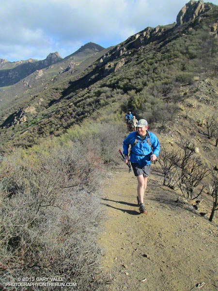 Scott |
 Jeanne & Howard |
|
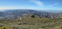
Clearing Clouds Panorama |
 Chamberlain Rock Panorama |