Like many good peaks that are mostly “walkups,” the ascent of Ladyface requires a bit of scrambling. By that I mean some use of the hands is required. And some care. Some of the rock is sound, and some of it isn’t. A few short sections on the frequently used east/southeast ridge are very loose and manky.
I like to do the 2.5 mile loop counterclockwise — ascending the northeast ridge, and descending the east/southeast ridge. The route generally follows the ridges, but the route-finding can be quirky in places.

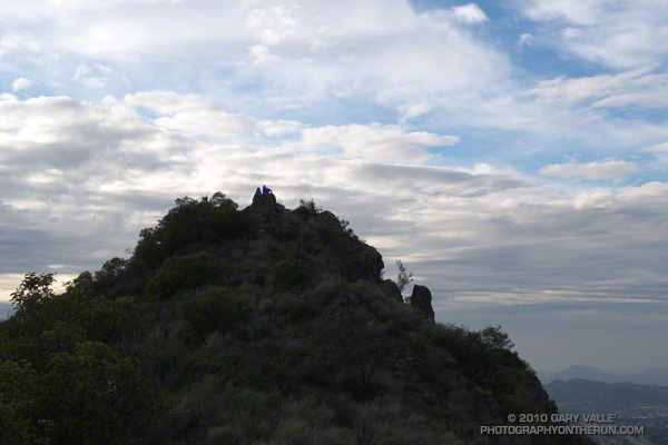
The path up the northeast ridge doesn’t appear to be as popular as the east/southeast ridge route, but is cleaner overall. Sections of the northeast ridge are brushy, but no significant bushwhacking is required — if you stay on route. The northeast ridge ends a couple hundred feet below the top of the peak. A zig-zag path up the steep north face winds its way through knobby volcanic rocks to the summit.
The volcanic rocks on Ladyface include several components of the Conejo Volcanic Suite, and tell a story of volcanism associated with plate subduction, rifting, and continent-building.
If you don’t pay too much attention to the cars zooming along the 101 Frwy a thousand feet below, the Ladyface loop in Agoura Hills is one of the more scenic and interesting short hikes/climbs in Southern California.
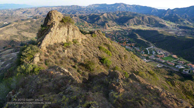
The title photo is of a subsidiary crag, east of the summit of Ladyface. In the background is Saddle Peak, Malibu Creek State Park and Brent’s Mountain.
Related post: Ladyface the Long Way
