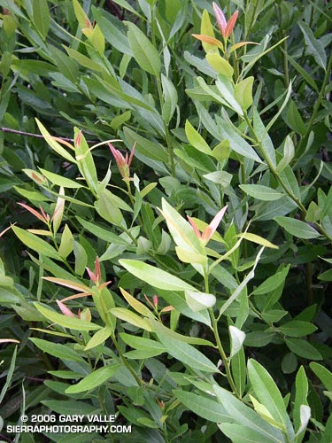
A study of new growth on a California Bay Laurel (Umbellularia californica) at Sage Ranch that was burned and completely defoliated in the 2005 Topanga Fire. These are crown sprouts growing from the base of the tree.

A study of new growth on a California Bay Laurel (Umbellularia californica) at Sage Ranch that was burned and completely defoliated in the 2005 Topanga Fire. These are crown sprouts growing from the base of the tree.
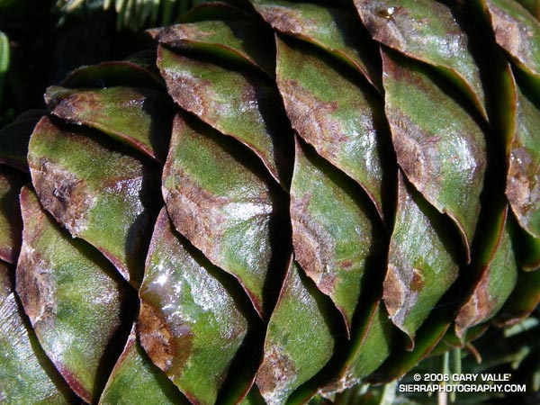
A study of a Limber Pine cone on the summit plateau of Mt. Pinos (8831′). The photograph was taken on the Mt. Pinos – Lily Meadows – Mt. Abel run described in Thunderstorm.
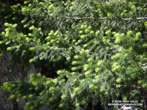
Bright green highlights new growth on a Big Cone Douglas Fir (Pseudotsuga macrocarpa) in the San Gabriel Mountains near Josephine Peak and Strawberry Peak.
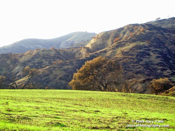
These peaks are popular lower elevation summits, that can be snow-free in Winter, or a blast furnace in Summer. Josephine Peak (5558 ft.) was once the site of fire lookout, and a fire road leads from Clear Creek Station to its summit. From the west, via Clear Creek or Colby Canyon, Strawberry Peak (6164 ft.) is a more difficult ascent that requires careful route-finding and rudimentary rock climbing skills. Many hikers prefer to do Strawberry from the east, starting at Red Box.
The day this photograph was taken, I wasn’t climbing Strawberry Peak, but instead was running a circuit around the peak. Part of the Angeles National Forest Trail Race course, the circuit is an excellent 15 mile loop with an elevation gain/loss of about 2700 ft. Here’s a Google Earth image and Google Earth KMZ file of a GPS trace of the Strawberry Peak Circuit. A longer variant of this route is described in Fall Leaves on Bear Creek and Strawberry – Bear Canyon Loop.
New sprouts of grass at Ahmanson Ranch less than a month after the Topanga wildfire burned 24,175 acres in the Simi Hills, northwest of Los Angeles. More photos and information regarding the Topanga Fire can be found in my Coyote Oak Journal article The Topanga Fire, Part I: Rain, Wind and Fire. (Photo from October 25, 2005.)
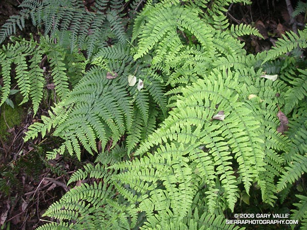
Ferns along the Garapito Trail, Topanga State Park.
Chaparral has been described as an elfin forest, and there is probably no better trail in the Santa Monica Mountains to see why, than the Garapito Trail. From the fire road near Eagle Rock, the trail seemingly dives into a tunnel of chaparral, and doesn’t emerge until it ends at Temescal Fire Road, some 2.5 miles away.
This day I ran a 12 mile figure-eight course from the end of Reseda to Trippet Ranch via the Hub, and then returned via the Musch, Garapito, and Bent Arrow trails. Fire roads out– trails back. A shorter option goes directly to the Garapito Trail via the Hub, and then returns via the Bent Arrow trail. This is about 7.5 miles. A longer option tacks on an out and back to Parker Mesa at Trippet Ranch.