My run started at the Top of Reseda. I’d used the Backbone Trail to run over to Will Rogers State Park (~10 miles) and then picked up the Rivas Canyon Trail on the west side of the park.

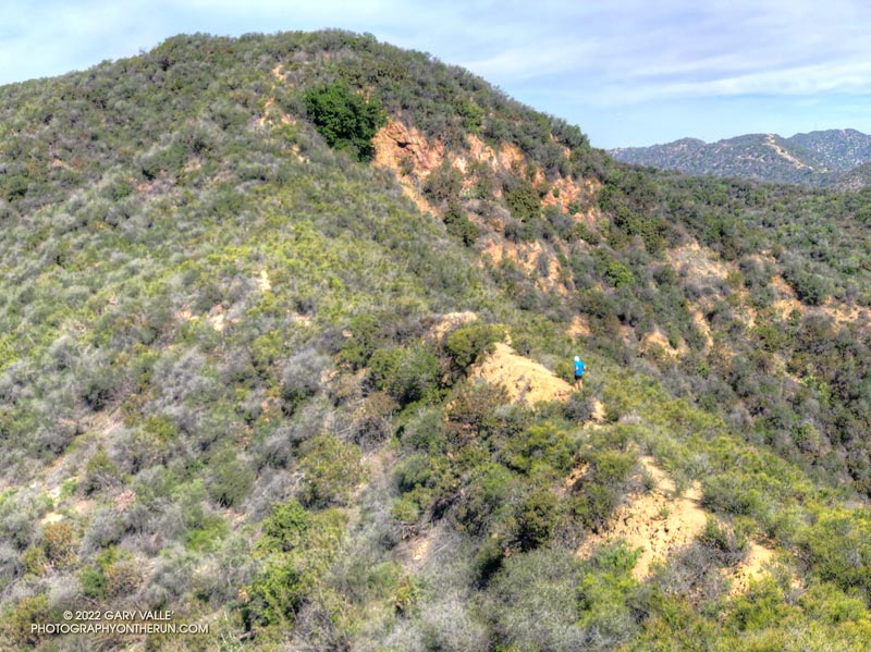
Roughly 11 miles into the run, I’d turned off the Rivas Canyon Trail and onto the Rivas Ridge use trail. This path is an alternative to the High Point use trail, which I’d used to climb High Point (Goat Peak) a few weeks before.
Now, I was about a mile up the ridge and the run/hike was going well. The use trail was a little overgrown in places, which resulted in a few pokes and prods, but no real bushwhacking was required. As on the High Point Trail, there were some steep sections and loose cobble, but there were runnable sections as well.
I’d done a long run in Pt. Mugu State Park the previous Sunday and some good miles during the week, so my legs were feeling the steeps. Poles would have helped with that.

Climbing up one of those steep sections, I stopped to take a picture of a familiar section of the Backbone Trail — the Chicken Ridge Bridge. I reached for my phone, and I felt the color drain from my face. All I found was an empty pocket.
Instead of the zip pocket designed for the phone, I’d used a bottle pocket for easier access. The phone must have slipped out when I’d reached down for something or ducked under a limb, or?
For a moment I just stood there, then in a rapid-fire sequence, several thoughts came to mind:
“How far back down should I go?”
“Where were those limbs I crawled under?”
“Hope I have all the 2FA backup codes I need.”
“How many hours do I have to look for the phone?”
“Find My iPhone might work here…”
“Where did I take the last photo?”
Losing a phone can REALLY be a pain. The one question I didn’t ask was probably the most important: “When did I last do a FULL backup of my phone?”
In the middle of this rush of thoughts, and despite the whining of my legs, I started back down the trail.
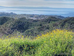
The phone HAD to be somewhere between here and the last place I took a photo. That didn’t make me feel any better. That was a ways down. I’d gone off-trail into relatively thick brush to take a photo of a large patch of bush sunflowers.
When you’re descending a steep trail you’ve already climbed, and know that you’re going to have to climb back up it again, every step seems a long way down.
Down, down, down and no sign of the phone. Where was that patch of sunflowers anyway?
After being decoyed by another patch of flowers, I finally reached the point where I left the trail. Incredibly, I found the phone sitting on top of a thick mat of brush, where I had crawled under some limbs. L U C K Y!

Rejuvenated by the adrenalin of a successful search, the remainder of the run went surprisingly well. The trail topped out on the High Point use trail, on a peak just north of High Point/Goat Mountain. It didn’t take long to get to the top of High Point, and soon I was headed back north on the High Point Trail, and then retracing my steps on the Backbone Trail back to Reseda.
Here’s an interactive, 3D terrain view of a GPS track of the route, zoomed in on the keyhole part of the loop. The map can be zoomed, tilted, rotated, and panned. To change the view, use the control on the upper right side of the screen. Track and placename locations are approximate and subject to errors. Poor weather, and other conditions may make this route unsuitable for this activity.
Some related posts: Goat Peak and the High Point Trail From the Top of Reseda, Will Rogers – Rivas Canyon – Temescal Canyon Trail Run, Racing the Weather to High Point (Goat Peak) and Back
