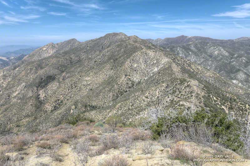
The out and back trail run to Condor Peak (5440’+) and Fox Mountain (5033′) from Vogel Flat is an adventurous 17-mile, lower elevation run in the San Gabriel Mountains.

When I last did this run (May 2020), portions of the trail below Fox Mountain were washed out and overgrown. Later I learned that this was before the Condor Trail restoration project had been completed. Thanks to the hard work of the Lowlifes Trail Crew the trail has been brought back to life. Today, several groups — including hikers, bikers, and runners — were making their way to Condor Peak.

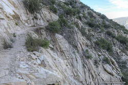
As mentioned in my posts from 2007 and 2020, this adventure is best done when the weather is cool. It can really bake on the south-facing sections of trail. From the Vogel Flat Trailhead on Big Tujunga Canyon Road the trail climbs about 2600′ in 6 miles to reach Fox Divide. Much of this stretch is surprisingly runnable. As with most mountain trails, extra care is required because of steep drop-offs and other hazards.
Today, the trail was in the best shape I’ve seen in years. The weather was relatively cool and good for running. As has been the case in other low elevation areas, a colorful assortment of Spring wildflowers were blooming along the trail. With our copious Winter rain, two small streams were crossed on the traverse above Fusier Canyon. It’s hard to say how long they will last.

Condor Peak has twin summits. A register and summit sign currently reside on the west peak, but USGS 3DEP 1-meter Lidar-based data suggests the west and east peaks have virtually identical elevations – about 5441′.
This time, after climbing Condor Peak, I also climbed Fox Mountain. Although steep, it’s short, and doing Fox only added about 30 minutes to the total time.
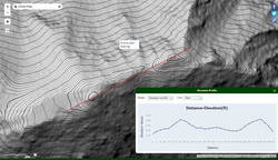
Here are a few photos taken along the way. Additional info, photos, and an interactive map with 3D terrain can be found in the following related posts.
Some relate posts: Condor Peak Out and Back Adventure Run, Condor Peak Trail Run
