Rocky Peak Road is an exceptionally popular hiking and biking trail that starts at Santa Susana Pass, on the north side of the 118 Freeway. Regardless of the time of day or weather I ALWAYS see someone on this trail.
The plan for this afternoon’s run was to do an out and back on Rocky Peak Road to the top of the Chumash Trail (3.8 miles) or to Fossil Point (4.8 miles).
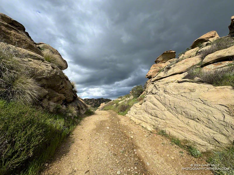
Another runner was finishing their workout as I started up the initial steep climb. Glistening in the warm sun, runoff from yesterday’s storm streaked some of the sandstone rocks, and ephemeral streams gurgled in the ravines and gullies.
Thanks to the sandstone geology, the dirt road wasn’t as muddy as most other local trails would be. Although heavily eroded from numerous Winter storms, it was still near the top of my list of places to run during periods of wet weather.
In the aftermath of yesterday’s storm the weather was spectacular. The temperature was warm enough to run in shorts and short-sleeves but still comfortable chugging up Rocky Peak Road’s steep hills. Puffy cumulus clouds filled the sky, creating postcard views at every turn.

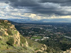
More focused about getting up the hill than any weather concerns, I continued past the top of the Hummingbird Trail and through a gap in the rocks to a section of road with a good view of the San Fernando Valley and San Gabriel Mountains.
I’d been in a situation similar to this several times on Rocky Peak. As a storm moves east from Los Angeles, energy circulating around the low can sometimes result in “back-door” precipitation. In this scenario, clouds build-up over the mountains to the north and then drift over the San Fernando Valley, producing showers — and sometimes — thunderstorms.
But today’s scenario was a bit more complicated. A much larger area, extending east to the San Gabriel Mountains, was rapidly destabilizing. What had been a picturesque sky at the start of the run was now congested and ominous. The question wasn’t so much if it was going to rain, but if a thunderstorm was going to develop.
As I continued up the road, the sky darkened, the temperature cooled, and the wind became more gusty and fitful. A little chilly, I pulled on my arm sleeves. I laughed nervously as I mistook the roar of a passing jet for thunder. That was a jet, right?
When people say they are “doing Rocky Peak,” they are often referring to a high point on Rocky Peak Road that is west of the actual peak and about 2.4 miles from the trailhead. The final climb to this high point is a good one — gaining about 450 feet over three-quarters of a mile.
The road on this stretch is oriented in such a way that the terrain hides the view to the north. I was anxious to get to the top of the hill so I could get a better idea of what the weather was doing. As I worked up the road, I would occasionally feel the cold splash of a raindrop on one leg or the other.

Nearing the top, I thought, “I may get wet, but at least there’s been no thunder.” Within seconds of that proclamation, and as I reached the highest point, there was a long, loud, crackling peal of thunder.
One look at the sky and all thoughts of continuing to the Chumash Trail were gone. I turned around and started running down the hill, hoping to avoid the worst of the storm.
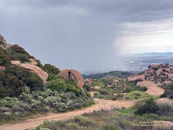
First one pea-sized hailstone hit the ground, then another, and then a sleety barrage of rain and hail poured from the sky. Instantly soaked, I shuddered as thunder echoed overhead and cold rain ran down my back. Muddy water flowed in rivulets down the sodden road and I cautioned myself to run fast, but not too fast.
I didn’t expect to outrun the storm, but hoped I might move to a part of it that was less intense. And that’s what happened. As I descended, the deluge gradually diminished. Most of the activity seemed to be behind me and a little to the east.

By the time I got down to the Hummingbird Trail, it was only sprinkling. The strong cell that had been over Rocky Peak had drifted southeast, and was now over the Porter Ranch – Northridge area.
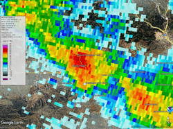
National Weather Service Doppler Radar tells the story. At the start of the run there were scattered, mostly weak echoes. At 3:06 pm, as I was starting up the last long hill, a cell northwest of Rocky Peak was developing and drifting southeast. Over the next 16 minutes the cell continued to move southeastward and strengthen, and at 3:22 pm was over the Rocky Peak area. I turned around and started down as the cell moved into that area.
The cell over Rocky Peak continued to strengthen, and at 3:39 pm had drifted over the Porter Ranch – Northridge area. At 3:44 pm the NWS issued a Severe Thunderstorm Warning for Western Los Angeles County.
Here are a GOES-18 satellite loop and Doppler Radar loop that show the development and track of the Rocky Peak thunderstorm.
Some related posts:
– Rainy Weather Running on Rocky Peak Road
– Running Between Raindrops: Chumash Trailhead to Rocky Peak
– Thunderstorm
