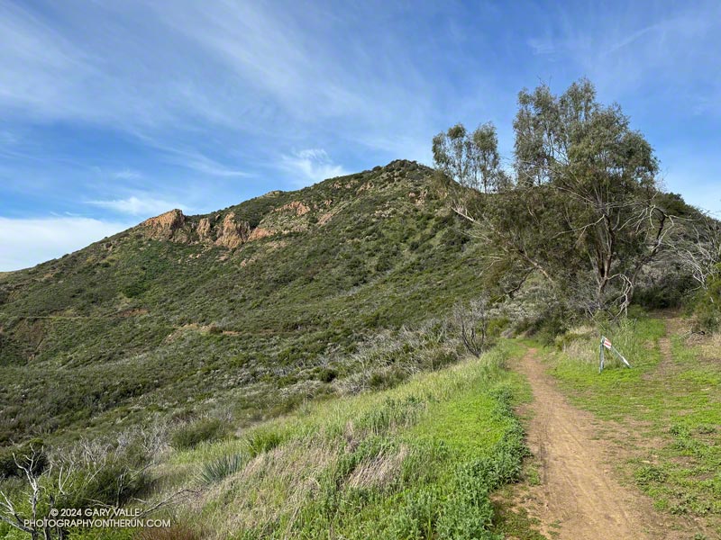
Following more wet weather, I was back on the Backbone Trail and running in the direction of Mishe Mokwa from the Encinal Canyon trailhead. But this time, instead of going to Mishe Mokwa, I planned to do an out-and-back run to Triunfo Peak (2658′).
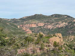
Whenever I’ve been on the Yerba Buena segment of the Backbone Trail, I’ve been curious about this peak. Situated on the crest of the Santa Monica Mountains, east of Sandstone Peak, it seemed like it might be an outstanding viewpoint, and I wasn’t disappointed.
About a half-mile up the Backbone Trail from the Encinal Canyon trailhead, I was surprised to be able to get a glimpse of the peak. Historic topo maps labeled the fire lookout on Triunfo Peak as “Triunfo Lookout” and now the peak is often referred to by that name.
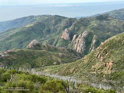
It was another beautiful morning on the Backbone Trail. A chilly 39 degrees at the trailhead, it warmed quickly as I ran up the trail toward Mulholland Highway and then Etz Meloy Mtwy fire road. The bloom of bigpod Ceanothus was in full swing, and the lilac blooms of hairy-leaved Ceanothus were already following suit.
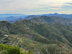
Thin high clouds veiled the sun and muted the scene as I descended the Backbone Trail to Yerba Buena Road. To the west Triunfo Peak/Lookout, Boney Mountain, and Sandstone Peak filled the skyline, their rocky prominences inviting further exploration.
About two miles west of the Yerba Buena Road, a makeshift sign indicated where the trail to the peak could be accessed. In 40-50 yards the side trail led to Yellow Hill Fire Road — the old lookout service road. It had recently been cleared of brush. From the sign on the Backbone Trail, it was about three-quarters of a mile to the top of the Triunfo Peak, with an elevation gain of about 380 feet.
According to the Former Fire Lookout Sites Register and Fire Lookouts websites, the lookout on Triunfo Peak was established in the early 1930s and taken out of service in the late 1960s. A steel lookout tower originally on Blue Ridge in Angeles National Forest was first moved to Bodle Peak around 1930, then moved and reassembled on Triunfo Peak in 1935.
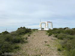
The photograph of the lookout tower when it was on Blue Ridge suggests the shrine-like concrete structure found on the summit of Triunfo Peak is the footing for the tower. Google Earth imagery shows a similarly-sized footing on Bodle Peak -— a square a little larger than eight feet on a side. The tower is described as having an “8×8 observation cabin.”
A short connector trail is being constructed on the wet/northwest side of Trunfo Peak. When the trail is complete, it will connect the Backbone Trail to Yellow Hill Fire Road, near the summit of Triunfo Peak. The new trail will enable those doing the Backbone Trail to climb Triunfo Peak and return to the Backbone Trail without backtracking.
Related post: Rainy Season Trail Running on the Backbone Trail
