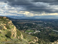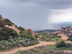
Following are some notes and photos from runs in Upper Las Virgenes Canyon Open Space Preserve (Ahmanson Ranch) during March 2024. Spring is here! The hills are green, goldfields and other wildflowers are blooming, and Las Virgenes Creek is flowing.
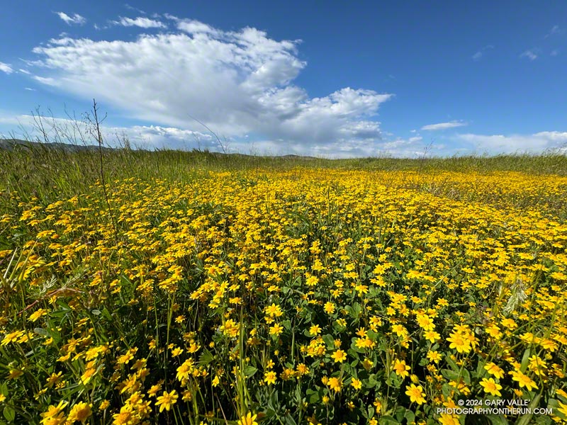
Goldfields and Other Wildflowers
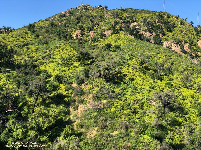
The first goldfields (Lasthenia gracilis) of 2024 began to bloom on Lasky Mesa at the end of February. Now, bright yellow patches of these “belly” flowers are scattered across the mesa, adding a brush of color to the roads and trails of Ahmanson Ranch. The cheery flowers usually disappear with the first spell of hot and dry weather. Looking ahead, more rain and cool weather are forecast Easter weekend, and extended temperature outlooks are mixed. Hopefully, the goldfields will be around for a few more weeks.
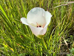
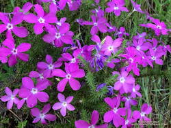
Some other wildflowers are also blooming. Blue Dicks usually flourish following a wet Winter, but this March are less widespread than usual. Red maids are also less numerous than normal and their flowers somewhat smaller. The elegant white flowers of Catalina mariposa lily are just starting to bloom.
Thanks to T.S. Hilary’s false Spring and copious Winter rain, the hills of Ahmanson Ranch have been green since early October.
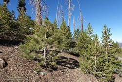
Silt Slides
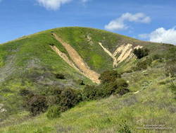
With all the rain, small, shallow mudslides have been common along road cuts and other steep slopes of Ahmanson Ranch. The area has fine-grained silty soil. When saturated, it can generate a slurry of silt and debris. The numerous scars on the hillsides suggest this is a primary mechanism of erosion in the area.
Valley Oaks
After losing their leaves in December, the Valley Oaks at Ahmanson are now budding and sprouting. Some trees already have new leaves, while others are still bare-limbed. The period valley oaks are without leaves varies from year to year depending on rainfall, temperature, sunshine, and other factors.
Invasive Milk Thistle
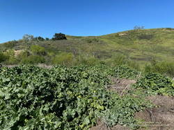
Milk thistle thrives during wet years, and it’s been very wet. We’ve had two consecutive wet years, plus a tropical storm thrown in for good measure. The invasive is sprouting in areas where it doesn’t normally grow and growing prolifically in areas where it is established. In a few months, milk thistle may look like it did in May 2005, following the record 2004-2005 rain year.
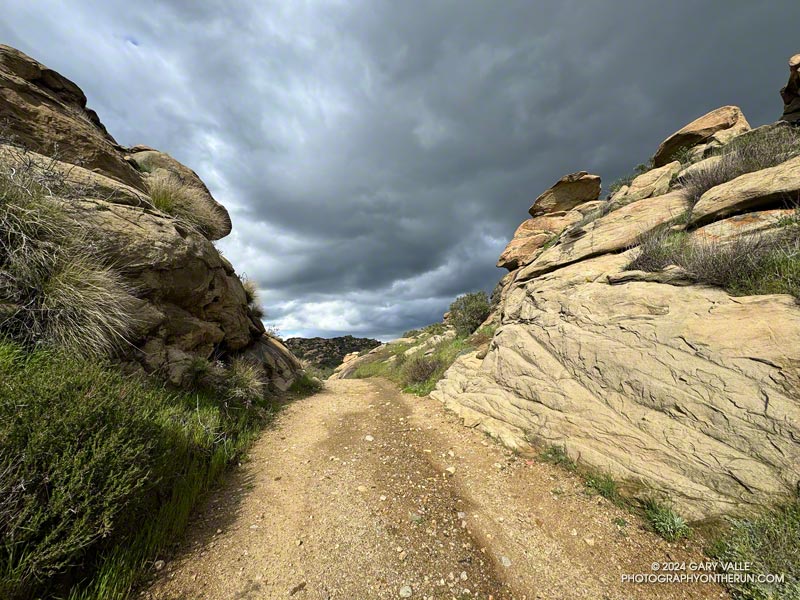
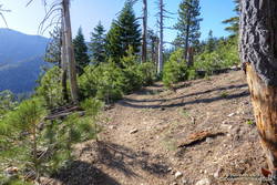
Rough Trails
Profuse rainfall is a two-edged sword. It revitalizes the ecosystem, turns the hills green, recharges the creeks, preserves the trees, produces wildflowers and more. But it can also be problematic — triggering slides, washing out and damaging trails, and promoting plant growth that chokes trails and increases the fire hazard.
At the moment, the roads and trails at Ahmanson are a bit rougher than normal, particularly in East Las Virgenes Canyon. Use and drier weather will gradually smooth out the ruts and rugosities, but we’re going to be picking foxtails from our socks for some time to come.
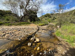
Upper Las Virgenes Creek is still flowing — including in the canyon’s upper reaches. Sometimes, there will even be a log or two in place to help keep your shoes dry.
And A Reminder to be Watchful
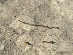
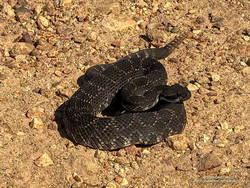
I sometimes stretch at the info kiosk at the Victory trailhead before running. Today, as I placed my hands against one of the kiosk posts and started to stretch, I glanced down. Disturbingly close to my feet was a small snake. Adrenaline flowing, I checked the head and tail and then checked them again. I stepped back and began to breathe. It was a gopher snake. But it could have just as easily been a rattlesnake. In fact, later on that run, I encountered a baby rattlesnake. That day and the next (March 20 and 21), I saw a total of four gopher snakes and two Southern Pacific rattlesnakes.
Some related posts:
– Ahmanson Ranch and Las Virgenes Creek After Six Days of Rain
– East Las Virgenes Canyon After a Seventh Day of Rain
– A Second Spring at Ahmanson Ranch
– Looking For Local Impacts of Tropical Storm Hilary