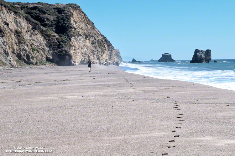
The sand was compact, the breeze cool, the surf up and the running oh so pleasant. Brett and I were running south along Kelham Beach, an idyllic stretch of sand between Point Resistance and Miller’s Point within Point Reyes National Seashore. If the tide was not too high we hoped to reach an area of dramatically folded strata along the 150′ tall sea cliffs.
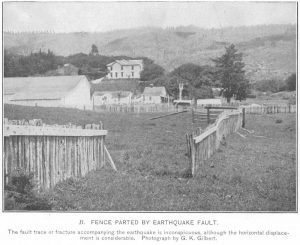
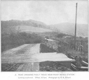
Our adventure had started with a short run from the Bear Valley Visitor Center to a spot on the San Andreas Fault where a fence was reconstructed to illustrate how the Point Reyes Peninsula lurched 16 feet to the northwest during the 1906 San Francisco earthquake. Fences and roads in the Point Reyes area built across the fault trace were offset by as much as 20 feet during the earthquake.
It is the San Andreas Fault that makes the story of the Point Reyes Peninsula so unusual. A glance at a geologic map shows the rocks of the peninsula to be geologically distinct from those on the other side of the San Andreas. Essentially the Point Reyes Peninsula is an island on the margin of the Pacific Plate that is sitting against the North American Plate. The San Andreas Fault is the boundary between the two plates.
The core of the Point Reyes Peninsula is a granite similar to a granite found in Southern California. Over many millions of years the chunk of crust was propelled northward along the San Andreas Fault by the movement of the Pacific Plate. The story is not a simple one, involving a combination of faults. At some point — perhaps near current day Point Lobos — the granite core was overlain by the sedimentary rocks we see on the peninsula today.
It seems likely that at times during its 10 million year journey northward from Monterey, the Point Reyes Peninsula may have been separated from the coast. With more than 80% of its perimeter currently bounded by water, it may once again become an island.
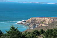
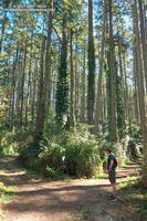
After visiting the fault zone we ran across the Point Reyes Peninsula to the coast using the Bear Valley, Mt. Wittenberg, Sky and Coast Trails. For the most part the trails were duff-covered, tree-lined, shaded and cool. For someone that runs mostly in Southern California this was practically nirvana. The previous Saturday I’d run a 50K race on a rocky, exposed course near Los Angeles in 90 degree temps and gusty Santa Ana winds. In the West San Fernando Valley the temperature this year has reached at least 95 °F every month from March through October. In July, August and September the highest temp each month was over 110 °F!
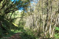
It was not 110 °F now. It was about 60 ocean-conditioned degrees. Brett and I had reached the first point where the beach narrowed. There was still room to run, but the beach narrowed even more ahead. We watched as a large wave broke and washed up to the rocks. It looked like the tide was going out, but we weren’t sure. Although the surf wasn’t huge, there was a consistent swell of maybe 6′-8′.
In between sets we took a look around the next corner and it looked sketchy. Debating, we watched as more waves washed up to the base of the cliffs. That part of the exploration would have to wait until another day with a lower tide!
Related post: Point Reyes – Sky Trail Keyhole Loop

